Good Wednesday, everyone. Rounds of strong to severe storms continue to target the Commonwealth today and will likely last into the wee hours of Thursday. Once again, all modes of severe weather are on the table for our part of the world.
Here’s a fresh breakdown of how things may play out:
- Our day starts with a line of strong to severe storms sagging from north to south across Kentucky.
- Damaging winds, large hail and a tornado or two will be possible in the pre-dawn hours with this line.
- Once into southern Kentucky, the line slows down with additional rounds of storms developing and rolling west to east.
- Given the orientation of the line of storms in southern and western Kentucky today, watch for high water issues.
- Storms increase in intensity this afternoon and evening with the greatest severe threat across the southern and western parts of the state.
- The afternoon and early evening stuff can bring more in the way of damaging winds, large hail and a few tornadoes.
- Another round of severe storms may develop across western Kentucky and southern Illinois by early evening.
- This line races to the east and southeast with another round of severe weather possible into the wee hours of Thursday morning.
- The greatest severe threat with this line appears to be along and south of Interstate 64, but that’s just a rough estimate.
- In addition to the severe storms threat, I am concerned about the flash flood potential with some of these storms.
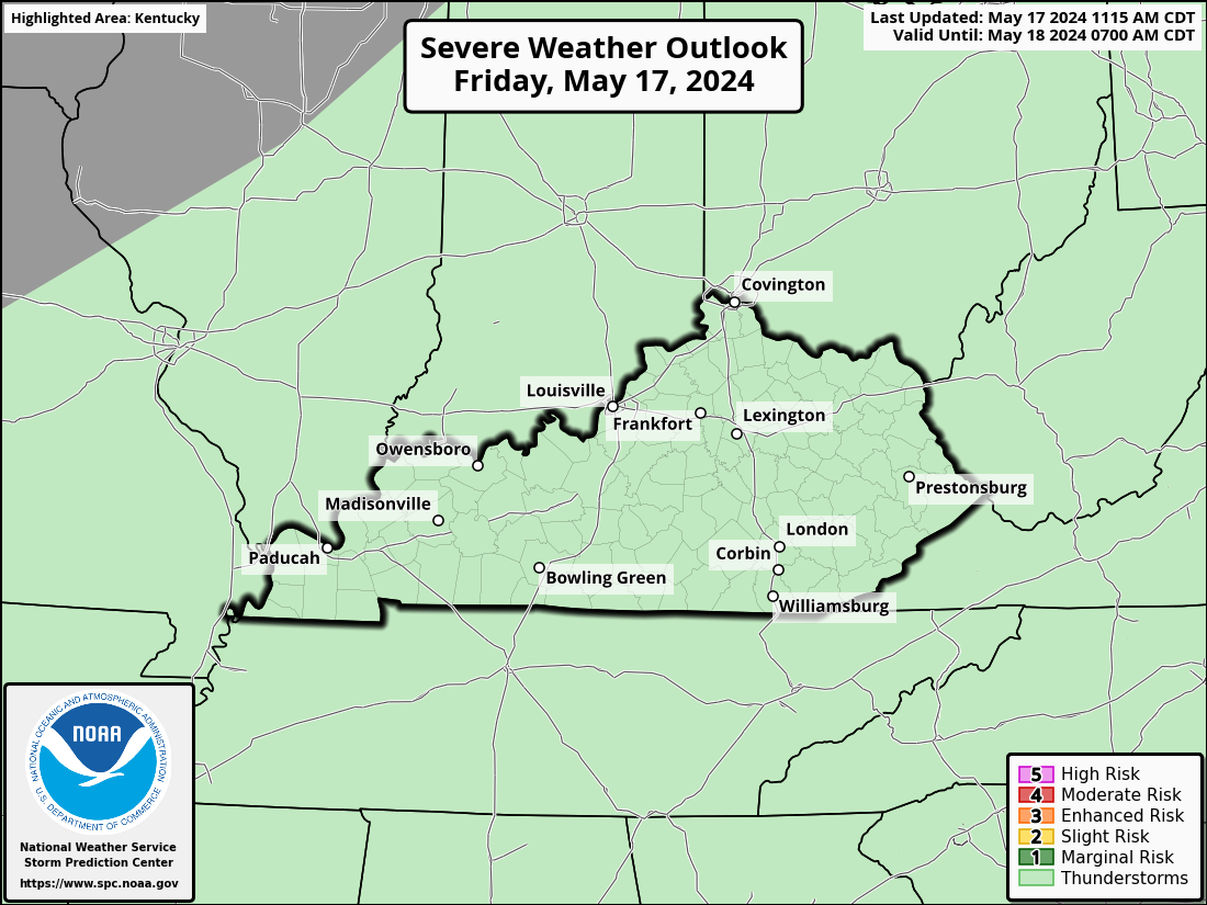
The Storm Prediction Center continues to place our region and points south in the main severe weather threat for the day…

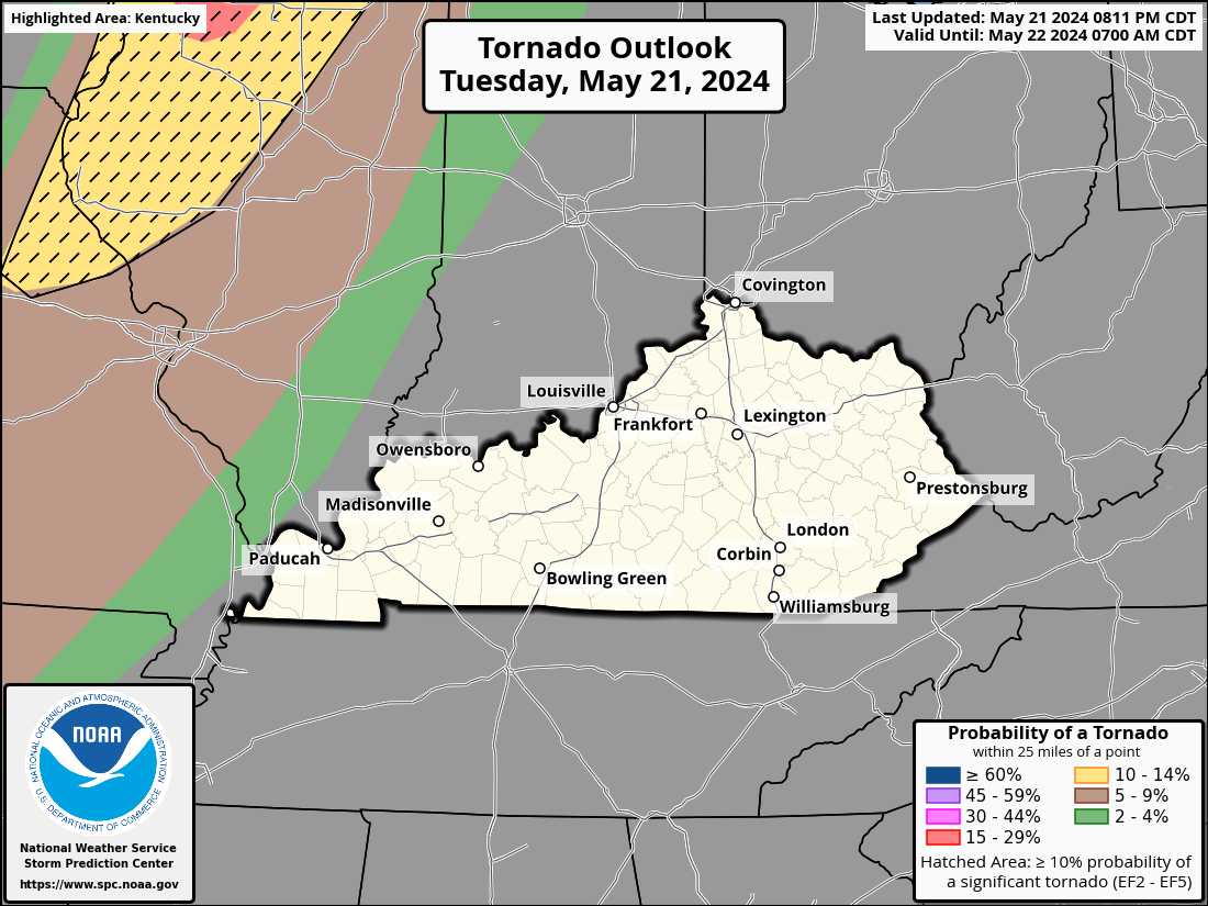
As expected, the highest chance for tornadoes will be across western and southern Kentucky, but the risk extends all the way to the Ohio River…

Damaging winds will be a big player with some of these storms…

There’s also the potential for some big time hail to show up across Kentucky…

I will have the very latest on WKYT-TV as needed through the day and night. As usual, I have you all set to track the waves of strong to severe storms…
Possible Watch Areas
Make it a wonderful Wednesday and take care.


Thanks Chris, for the up to date and well detailed breakdown as to what may happen in the next 48 hours. Still very nervous about being in the moderate risk. Hoping this is not a trend and there’s a repeat next week ? Lots of rain has fallen this week and now we will probably be well above normal for the year. We need some cooler, drier days. Maybe this weekend ?
Stay Safe Everyone !!!