Good Thursday, everyone. Much better weather is back in the Bluegrass state today and you had better get out there and enjoy it! Rounds of showers and storms are back in here for the next couple of days.
Our Thursday starts with fog across central and eastern Kentucky, especially. Once the fog burns off, partly to mostly sunny skies take over with temps reaching the upper 70s to low 80s in most areas.
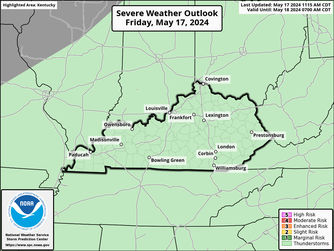
Low pressure to our west then rumbles toward the region into Friday with more waves of showers and storms spinning through. A few of those may get into western Kentucky this evening and there’s even the low-end risk for a few severe storms. Here’s today’s Severe Weather Outlook from the Storm Prediction Center…

The low-end risk for a few strong to severe storms then moves into central Kentucky for Friday…

A few leftover showers and storms continue into Saturday as the low slowly pushes off to our east.
The overall setup with this system can produce another round of heavy rainfall that can cause local flash flooding concerns.
A few of the models are showing a corridor of 1″-3″ rains…
Warmer winds kick in for Sunday and take us into early next week as another taste of summer temps show up. Highs by Monday and Tuesday may surge deep into the 80s…
That’s ahead of more storms that can be strong or severe by late Tuesday and Wednesday…
Speaking of storms, I leave you with your Thursday thunder trackers to follow the stuff in from the west…
Possible Watch Areas
Have a great day and take care.


Tired of the rain.
We’ve measured 1.79” of rain since Monday. We often don’t get the first major mosquito hatching until Memorial Day (or shortly thereafter), but they’re already out in significant numbers!
Now you have me rooting for a drought.
I’m not up for drought, just a bit less than we’ve averaged the last few summers.
I’m tired of the gloom.
Thanks Chris. Over the past few days we had about 0,30 ” of rain. Doesn’t seem like Summer yet, but we are gaining on that 90 degrees come next week.
Have a great day everyone !
A little chilly this morning had a few downpours yesterday.
I’ve recorded 0.90″ of rain this week in the BG area, which has experienced some areas of dense fog this morning. Mosquitoes have also made their appearance here as well, which is why many in the area are questioning Warren County’s decision to cancel mosquito spraying this season!
I live in an area about a 1000 feet elevation and surrounded by forest and hardly any mosquitoes, but we have pest : Asian beetles in the fall and stink bugs. I spray demon WP three times in the Fall. It’s a good control. It might control mosquitoes. Don’t know.