Good Tuesday, everyone. Cooler temps continue to blow into the region for the closing days of May and this below normal pattern looks to hang tough into early June. More importantly, we are calming things down for the next several days.
Temps today are generally in the 70s with a partly to mostly sunny sky. Winds are gusty from the west and northwest as a big upper level system spins into the region. This may spawn isolated showers and storms out there today…

A scattered shower or hail producing thunderstorm will be possible again on Wednesday as this same system really settles in. Highs come down into the low and mid 70s for most.
The temps come down even more with lows in the 40s Thursday and Friday and those may hang around into the first morning of June on Saturday.
Overall, temps the rest of the week are well below normal…
June begins with temps edging just a bit closer to normal as some showers and storms creep back into the picture. The chance then lingers into early next week.
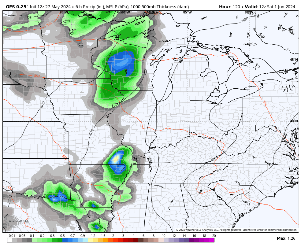
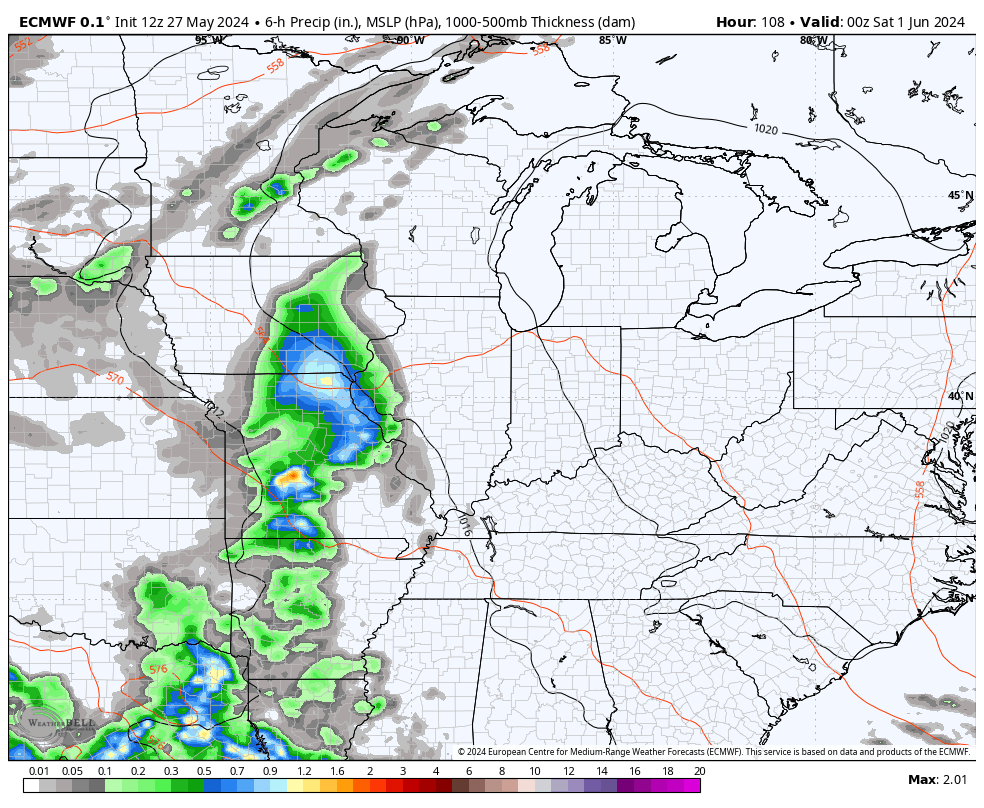
The GFS and EURO agree on this…
GFS
EURO
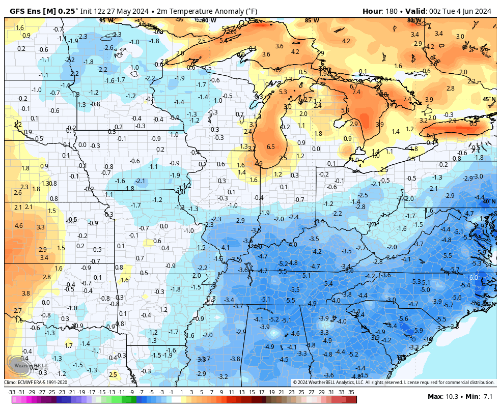
This may very well be followed up by another run of below normal temps that take us into the second week of June…
Make it a terrific Tuesday and take care.

The temps will not be below normal.
For a few days maybe, but I would be surprised if the below normal temperatures continue all three months. The good news is we have a break from the rain maybe.
Thanks Chris. Hoping we have more dry days than the various models are indicating.
Make it a great day everyone !
Great-looking forecast. Stepped outside into a delightful 61 degrees.
The Storm Prediction Center came out with an analysis of Tornado Watches issued in 2024 to date, and to me the results are a bit surprising. They shows that Western and Central Kentucky have had a significant number of events that warranted issuing a Tornado Watch,a and as we’ve all seen, most of those watches have preceeded considerable activity.
https://www.spc.noaa.gov/wcm/2024_torww_to_date.png
Interesting Joe, thanks for sharing. During the stormy period we had, I spotted a few clouds with some rotation. I was afraid we might have one of those devastating hail storms. compared to other areas of the state we really luck out on severe weather so far. ” knock on wood “
This was the worse thunderstorm I’ve ever experience in my life. Here’s some details on that storm that happened on June 8th, 1982 :
https://www.courierpress.com/story/news/2022/06/08/evansville-indiana-windstorm-caused-damage-june-8-1982/7456911001/