Good Tuesday, folks. Here’s hoping this update finds each of you enjoying the good life! We are dealing with a weak system passing through the region and it’s touching off scattered showers and thunderstorms. This is ahead of a much bigger change lurking for the end of the week into the weekend.
Low pressure is rolling across the state today and it’s firing off scattered showers and storms. This action is coming at us from the west and southwest and will contain torrential rains from time to time.
Here are your Kentucky weather radars to follow along with…

This won’t be terribly widespread today and outside of the storms, temps will warm into the 80s with a mix of sun and clouds.
Showers and storms will be a little more widespread Wednesday into Wednesday night as our system makes its way through the Ohio Valley. This animation goes from tonight through Thursday…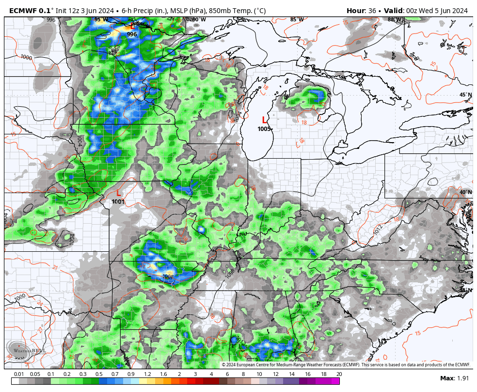
That’s ahead of a deep trough digging into the eastern half of the country. That will be followed by another deep trough following that up into next week…
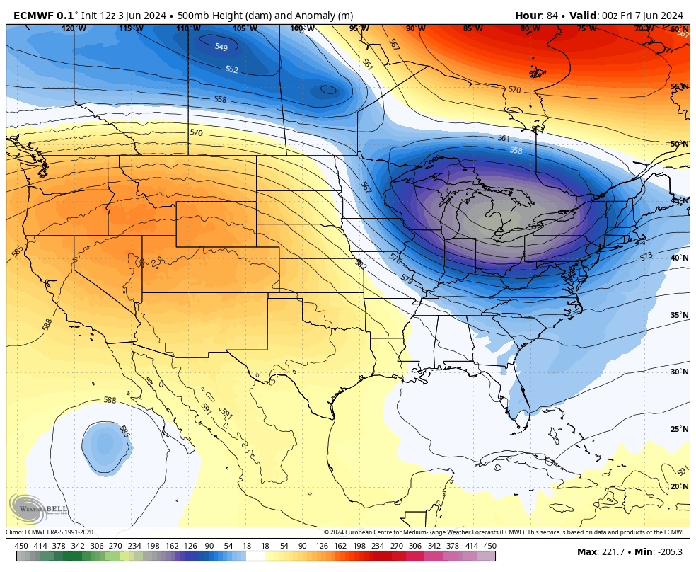
That second trough has more showers and storms along and ahead of it…
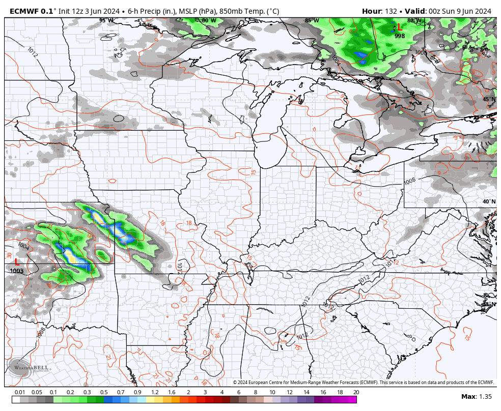
The temperature trend behind both of these troughs continues to be well below normal. This animation from the EURO goes from this Friday through June 13…
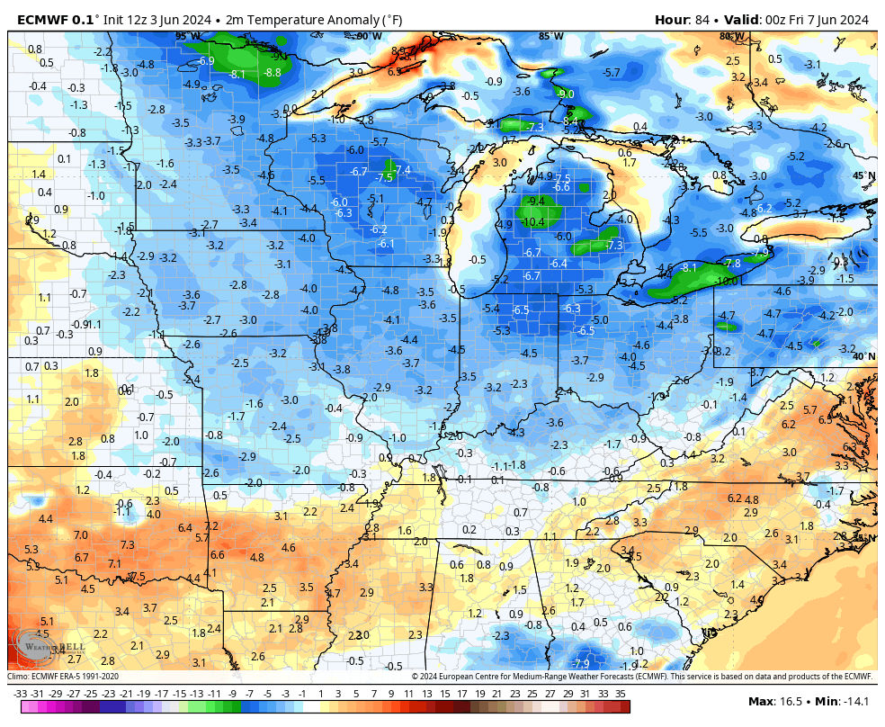
Do I think this is the start of a very cool summer? No, I do not. I would expect things to balance out pretty close to normal before all is said and done. That balance likely comes with a lot of back and forth in the temperature extreme world. Those types of patterns usually deliver above normal rainfall, too.
Have a terrific Tuesday and take care.

A summer seesaw.
Thanks Chris. Sounds like our typical Summer weather pattern. Just as long as we receive those timely rains for the crops. The Pacific Decadal Oscillation for May was a -2.97. An indication that La Nina is present. The last time the PDO was positive was in 2019. At lease the La Nina for this Fall and Winter will be reacting with the atmosphere.
Have a great day everyone !