Good Sunday, everyone. We have a cold front dropping into the region today and it’s bringing the chance for a few strong to severe storms. A stronger front follows this up by Wednesday and that has a better chance for strong storms and more widespread rains.
Let me begin by saying not everyone sees storms today. A broken line of storms moves in early today then dissipates. A second line then develops right on top of us this afternoon and evening, with the best coverage across the eastern half of the state.
A few of these storms may be strong or locally severe. The Storm Prediction Center has a low-end risk for severe storms out…

Temps today make a run into the upper 80s to near 90 for many, with some low 90s west.
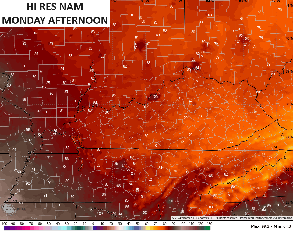
Cooler winds blow for Monday as temps and humidity levels both come way down. Highs are likely 80-85 for much of central and eastern Kentucky with mid and upper 80s west. That said, some models keep enough clouds going to keep highs in the 70s in the east. The Hi Res NAM is among them…
A strong southwest wind will then blow on Tuesday and this spikes temps up to 90-95 for much of the state. This is ahead of a potent cold front dropping in for Wednesday and early Thursday. While scattered strong storms are possible late Tuesday, there’s a much better chance for more widespread showers and strong storms with the boundary…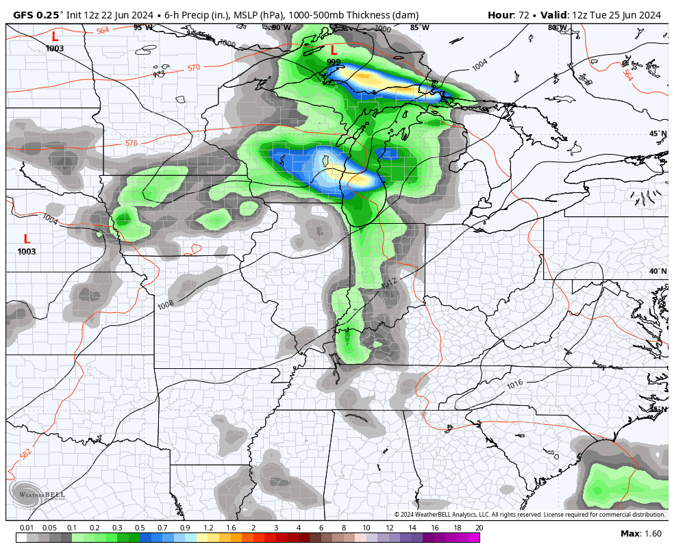
That may actually turn into a sneaky severe weather threat on Wednesday, so let’s keep an eye on that.
Cooler temps are likely Wednesday and Thursday.
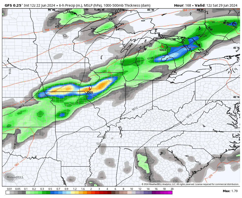
The numbers should bounce back up to start the upcoming weekend but the models are pretty aggressive with bringing another cold front in with shower and storms next Sunday or so…
As always, I leave you with all the tracking tools you need for the day. Don’t forget to use out interactive radar that gives you access to live storm chaser streams…


Current watches

Possible Watch Areas

Have a great Sunday and take care.

Ok good… at least things are starting to move and it’s not the same forecast day after day…. the negative side of me is saying this: The line of storms that approaches us will fizzle… then a new line will develop EAST of us leaving us with NOTHING…. but the positive side of me says. Well, at least there will be clouds
Nothings wrong with a northwest flow during the summer.
Nor with a southerly one.
Thanks Chris. Hoping we all receive the rain in the next few days, but not the severe weather.
Have a restful and peaceful Sunday everyone.
I will receive any precipitation with gladness. I have enjoyed the well above average temps of late but it is time for rain.
Torrential rains moved through the Chicago area late Saturday night/early Sunday morning, ending the short-term drought. Most areas received between 1-2 inches of rain, with a few locally higher amounts. Several Flash Flood Warnings were issued.
This also ends the extended stretch of days in the 90s here that lasted a week. Highs today will only be in the low 80s area-wide, with falling humidity through the day. By Tuesday, highs will be well in the 90s with more severe weather potential.