Good Tuesday to one and all. Our fall fling is coming to an end as steamy temps and stormy skies get ready to settle back in over the next few days. These storms are likely to cause some issues for the 4th of July period.
Temps out there today start in the 50s and return to the 80s with 90 in the far west.
The setup for Wednesday is very steamy as tropical humidity surges in ahead of a front slowly dropping in from the northwest. Scattered storms will likely go up in the afternoon with a line of strong to severe storms developing near the Ohio River by evening. That line the pushes across the state through the evening into the wee hours of Thursday.
The Storm Prediction Center has us in the Marginal Risk to Slight Risk for severe storms Wednesday afternoon and evening…

Rounds of storms will be around for the 4th of July and the chance is there for some of those to be strong or severe. Here’s the Thursday severe weather outlook from the Storm Prediction Center…

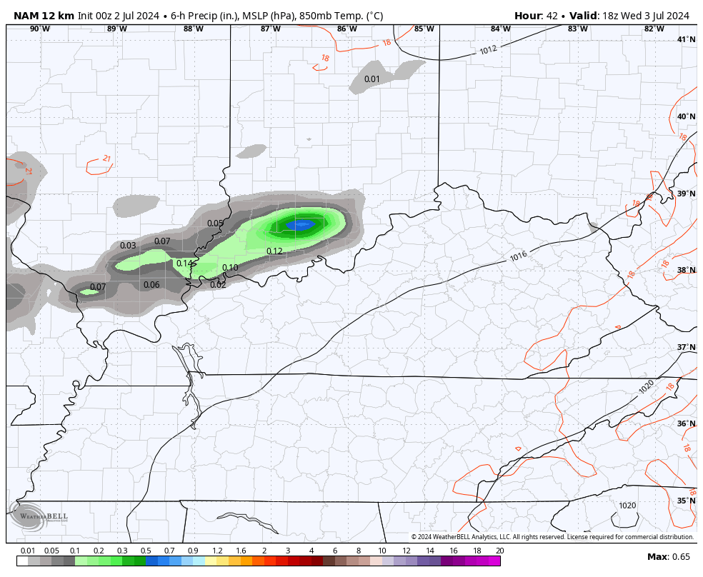
In addition to the severe weather threat, storms will be packing a ton of lightning and torrential rains. Local flash flooding is possible with any storm that goes up. Here’s the NAM from Wednesday afternoon through Thursday night…
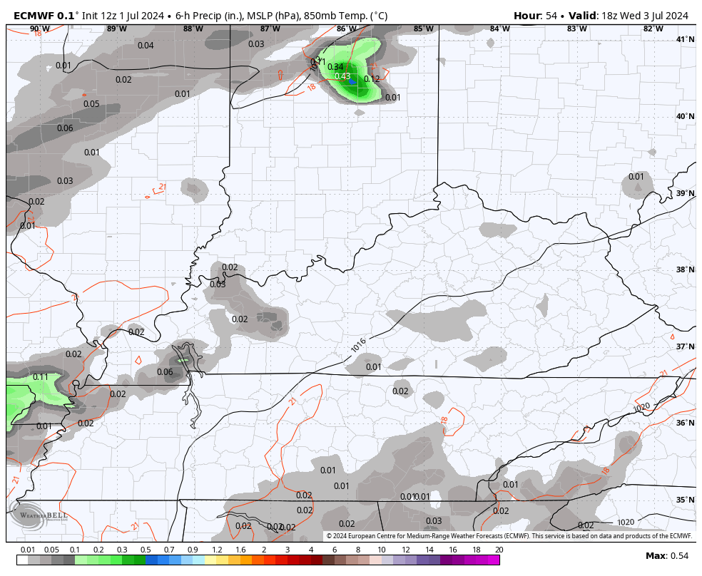
These rounds of showers and storms will likely be with us again Friday into Friday evening and some of those may be strong or severe as a cold front sweeps in. This is the EURO from late Wednesday through Friday night…
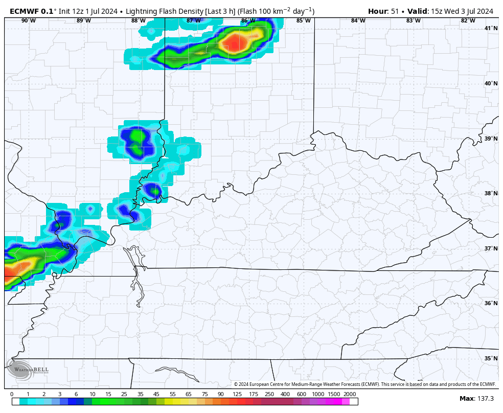
Check out the lightning on the EURO during this time…
Things look to calm down and be fairly pleasant for later Saturday into Sunday before another system moves in with more showers and storms next week…
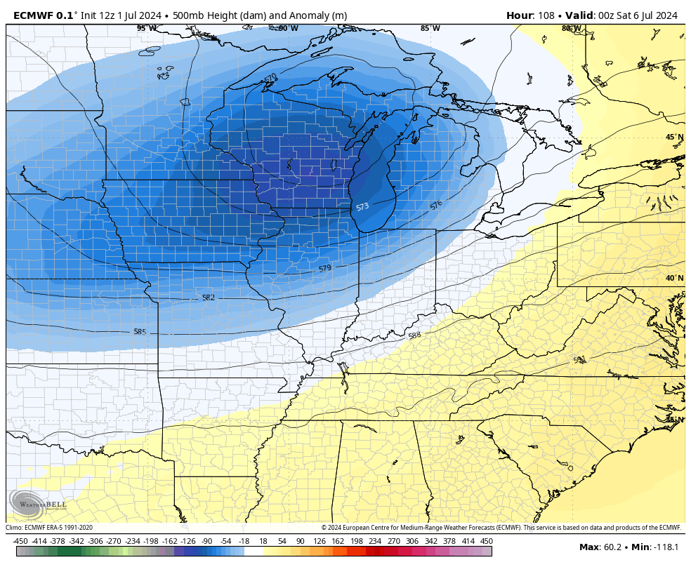
That’s with another trough digging into the region with the EURO cutting this off for a bit…
That means temps will likely stay normal or a bit below.
Hurricane Beryl continues to break all kinds of records in becoming the earliest Category 5 on record. Emily was the prior record holder for earliest 5 from July 17th, 2005. The National Hurricane Center continues to show this rolling toward the Yucatan and then into the southern Gulf of Mexico…

Here’s a look at this historic storm…

I’m interested to see exactly where this system hits along the Yucatan. The farther north the track of this storm gets, the less time it will spend over land and the faster it can get into the Gulf. Can this come far enough north to eventually impact the US? Yes. Will it? Too soon to tell.
But, the various models are beginning to put the Gulf Coast states into play more and more.
Here are the latest spaghetti plots from the hurricane models that show some members curving toward Texas and Louisiana…

The latest from the GFS Ensembles shows many more members turning north. You will even notice some bring the remnants all the way into the Ohio Valley…

The Global Ensembles are trying to do the same thing…

The EURO Ensembles also show several members with the same idea…

There’s a long way to go on this one, folks.
Enjoy the day and take care.
