Good Thursday and Happy 4th of July, everyone. Rounds of thunderstorms dumped heavy rains across several areas of the state late Wednesday and we have more rolling through today. These storms continue into Friday with the threat for severe storms and more flash flooding.
This isn’t all day stuff today, instead, storms come at us in waves. The two signatures for these storms will be lots of lightning and torrential rains. Storms can drop a quick 2″-3″ of rain on a local cale, causing flash flooding.
A few storms may also contain damaging winds and that’s why we have another low-end risk for severe storms from the Storm Prediction Center…

A cold front then sweeps eastward across the state later Friday and will have additional showers and storms ahead of it. Those storms across eastern Kentucky may be strong or locally severe. This is where the Storm Prediction Center has another low-end severe risk…

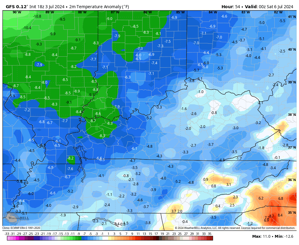
Much better air comes in behind this front for the weekend as dry skies return. Temps look very pleasant with the GFS showing another round of below normal temps through early Monday…
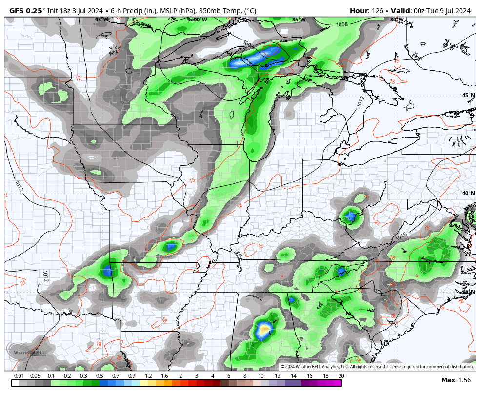
The setup continues to feature a few more cold fronts trying to work in here next week and those may spawn additional rounds of showers and storms. This animation goes from Monday night through the rest of the week…
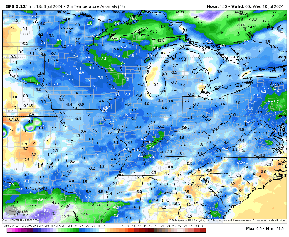
The model shows another shot of below normal temps during this time…
Hurricane Beryl keeps chugging along in the Caribbean and is set to make another landfall along the Yucatan of Mexico on Friday and then should emerge into the southern Gulf of Mexico within a day. The National Hurricane Center has a possible hurricane impacting south Texas by late Sunday or Monday…

Can some of that moisture eventually wind up somewhere nearby? Maybe.
I leave you with your patriotic storm tracking toys on this 4th of July…


Current watches

Possible Watch Areas

Have a great 4th of July and take care.

Summer is still king.
Happy 4th of July Chris and everyone!! Having a very nice downpour so happy to hear it but I don’t think it will last much longer but I might get surprised. Don’t eat too many hotdogs lol!