Good Tuesday, everyone. What’s left of Beryl is rolling into the Ohio Valley today and bringing the threat for severe storms to much of Kentucky. With a little bit of shear showing up, a few tornadoes will even be possible.
Beryl is in the process of losing true tropical characteristics as it spins into areas just north and west of the Ohio River, heading toward the Great Lakes. Here’s the latest info from the National Hurricane Center…

As mentioned, severe storms are possible with this setup, especially this afternoon and evening. The Storm Prediction Center is highlighting today’s severe weather risk…

It’s one of those rare setups that I’m more concerned about a tornado or two spinning up than I am of hail or damaging winds. There’s a fair amount of shear showing up today and that can set some storms spinning.
The greatest risk for tornadoes today is across western and parts of central Kentucky. Here’s today’s Tornado Outlook from the Storm Prediction Center…

We also have a low-end risk for local wind damage…

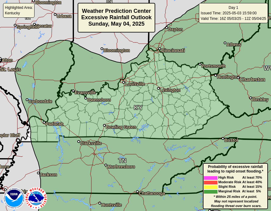
With so much tropical moisture around, the threat for flash flooding is also there and the Weather Prediction Center is highlighting the threat for excessive rainfall today…
Winds will also be a player across the region as this low tightens up a bit in the Ohio Valley. That could bring some stout northwest winds into Kentucky Tuesday night and early Wednesday. Gusts may top 40mph at times…
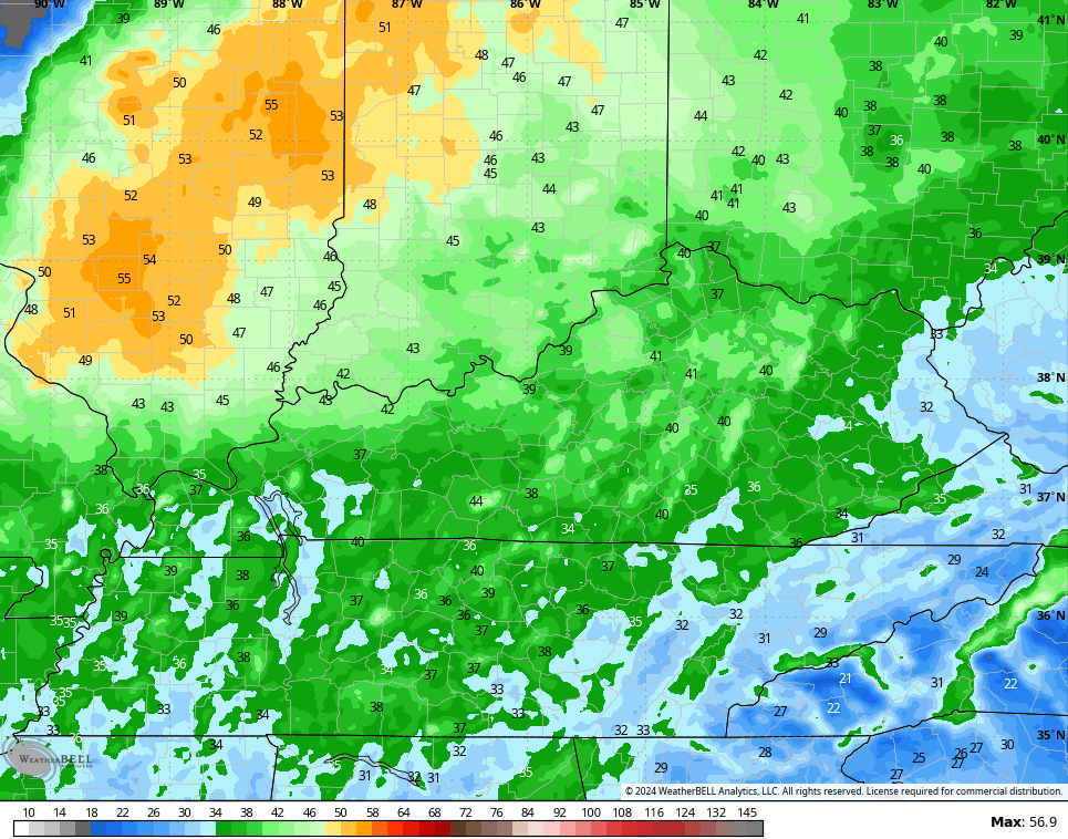
Check out those winds to our northwest. Wow.
Much cooler air flows in for Wednesday and into Thursday with a few leftover showers and storms coming in from the northwest…
Some heat makes a run at us this weekend into early next week with storms trying to join in on the summer fun.
I leave you with all your storm tracking needs as Beryl impacts the Bluegrass State…


Current watches

Possible Watch Areas

Make it a terrific Tuesday and take care.

Thanks Chris. My county of Taylor is in the high winds and a possibility of a tornado, but not in the good soaking rains that are almost always accompanying post tropical storms. Back in the late 1980’s we had the remnants of Hurricane Juan that had a widespread rain shield, with no severe weather. We accumulated five inches of rain that ended the drought.
Be safe everyone !
Desperate, reckless measures are being considered to stimulate rain. Washing and waxing the car. Leaving the windows open on said car. Running the sprinkler 24/7. Leaving hand tools outside. Planning an outside family gathering. I’m sure there are better ideas . . . .
We have received some rain here in western, KY from beryl, but no winds or Tornado watch has been issue the main line went little west from us than the forecast had stated.
A Flood Watch is in effect for the Chicago area and also much of Eastern, Central, and Southern IL through early afternoon Wednesday as the hurricane remnants move through. At least two inches of rain is expected for the S and SW Suburbs of Chicago. Strong Northerly winds are also expected for a few hours early Wednesday from the low pressure.
Saw that Tornado Warnings were issued for a few counties in Southern and Western KY this afternoon.
day after day of 90s… then chances of rain (which we don’t get any) followed by more days of 90s…then more chances of rain… which ends up missing us… followed by more 90s… I absolutely LOVE it