Good Wednesday to one and all. What’s left of Beryl continues to pull away from the region today as it ushers in much cooler winds out there today. As we look ahead, we see some steamy times returning for the weekend with changes lurking next week.
Let’s start this post Beryl party out with what’s going on out there today.
Winds through the early afternoon can gust to 30mph-40mph in some areas. Those winds calm down slowly during the afternoon and evening as highs range from the upper 70s to low 80s.
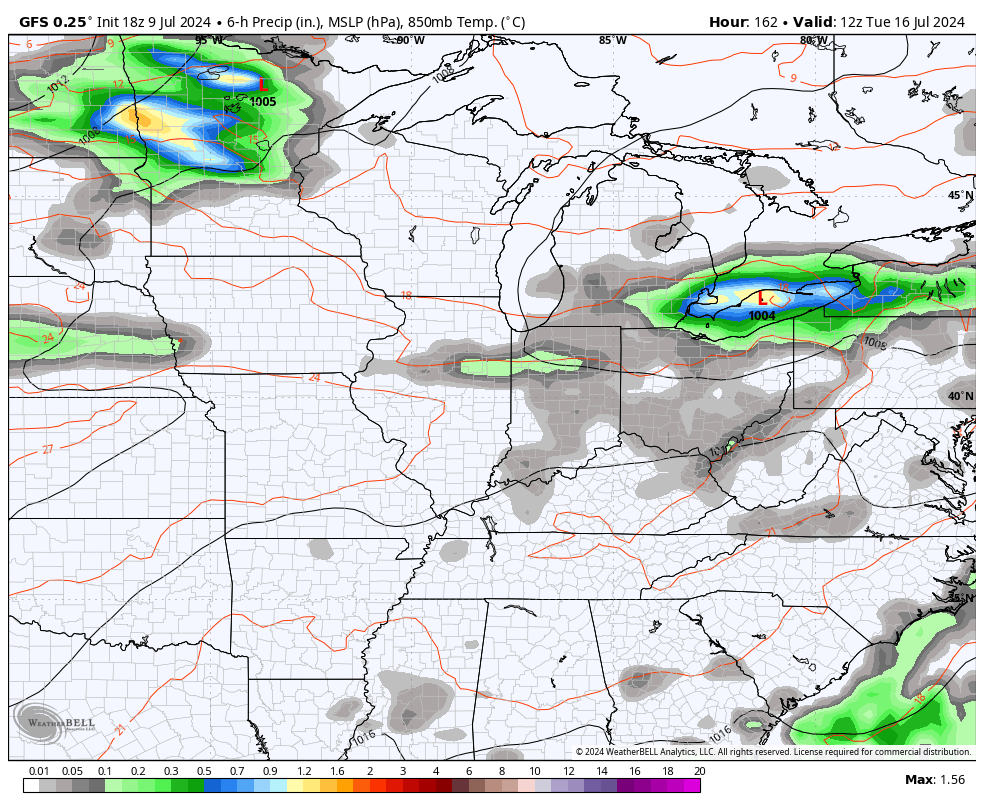
A few wraparound showers and isolated thunderstorms will be with us from time to time, but this doesn’t look widespread. Here are your radars to follow Beryl out of town…

A few more isolated showers and storms may be noted as we head into Thursday and Friday as a northwest flow continues…
Steamy temps roll back in for the weekend with upper 80s to low 90s for much of the region. This takes us into the start of next week that can feature another severe storms threat from late Tuesday through Thursday. That’s ahead of what may be a strong cold front dropping in from the northwest…
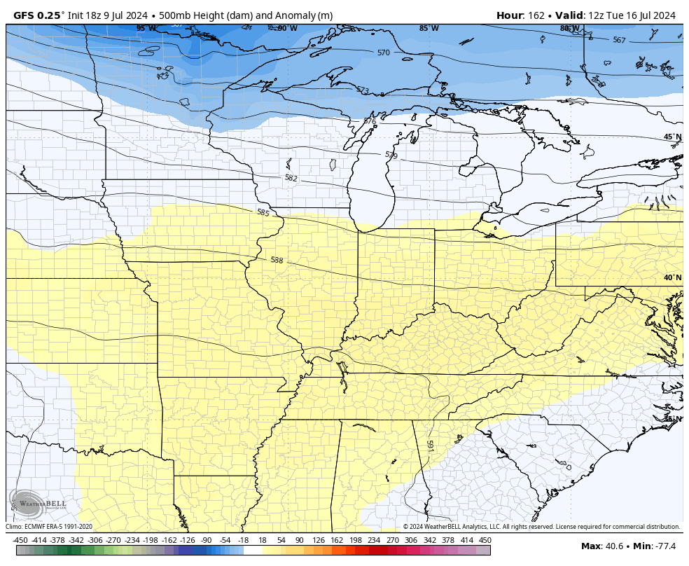
Some of the models show a healthy trough swinging through the region…
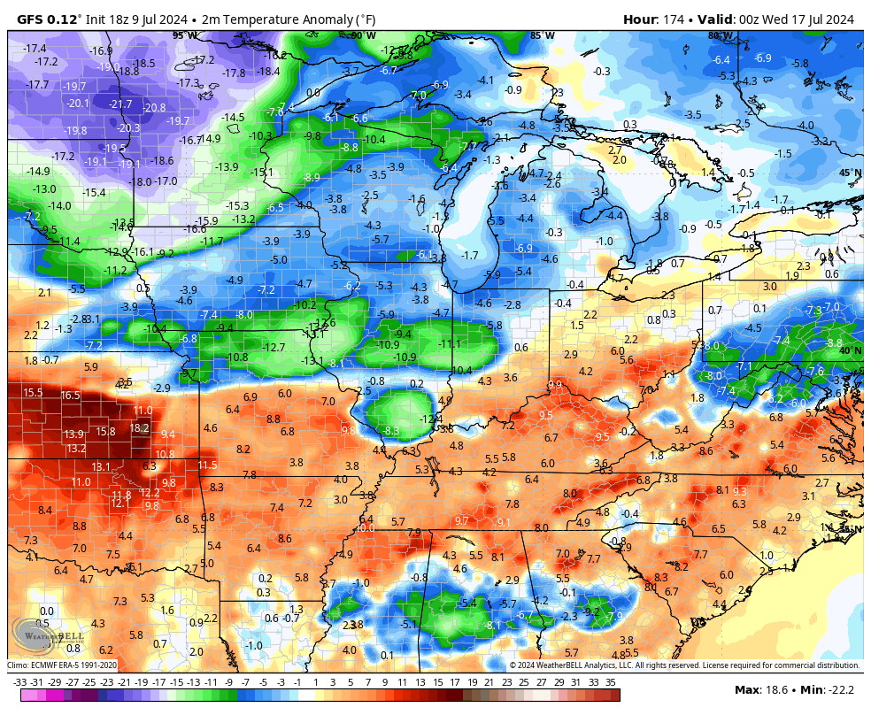
The GFS looks overdone with the amount of cooler than normal temps coming in behind that boundary…
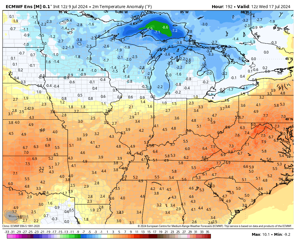
That said, the average of the approximately 100 members of the EURO Ensembles shows below normal air…
Have a wonderful Wednesday and take care.

Several small storms dropped 0.89 inches of rain on the Bowling Green area yesterday afternoon. The storms were quite unusual in that they exhibited sizeable rotation, some of which turned tornadic, but did not grow in altitude sufficiently to generate lightning! This was due to the extreme amount of shear in the atmosphere from Beryl.
.03” from Beryl – overnight. Some “real rain” came tantalizingly close. The breeze this morning has eliminated every remaining droplet. Too windy for sprinkler-action at the moment.
I’m showing .13 on my PWS this morning. Not what I was hoping for but I’m thankful nothing popped up here from those tornado watches.
The NWS Forecast Office in the SW Suburbs recorded 1.29 inches of rain from the hurricane remnants yesterday, while Chicago’s Midway Airport received .89 inches. A few isolated locations in the S Suburbs received between 2-3 inches.