Good Friday, everyone. It’s another really awesome weather day for our region as this September pattern rolls on. While we keep the pleasant temps into the weekend, we track the threat for scattered showers and storms pushing back into our region.
Let’s start with today and roll forward. We are starting things out on a very cool note with lows more typical of mid-September than mid-July as readings hit the 50s. Once into the afternoon. high temps reach the upper 70s and low 80s for many as clouds increase.
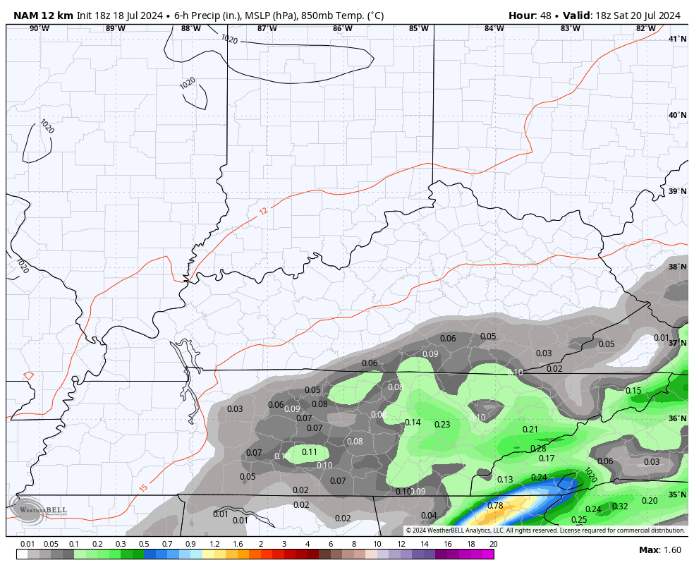
These clouds are ahead of the scattered showers and storms returning this weekend. As a matter of fact, there’s the chance for a shower or storm to impact southern counties by late this evening.
Here are your radars to follow anything that might show up…

The threat for showers and storms will increase overnight and into Saturday as our front to the south edges back toward the north. This boundary brings showers and storms in here for the weekend with the greatest concentration across the east and south…
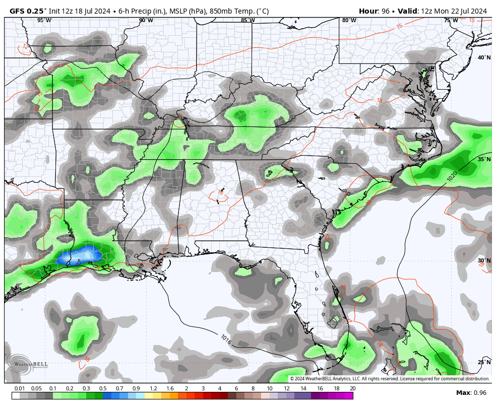
This sets the stage for more in the way of showers and storms to impact our weather next week. The flow from the southwest should bring moisture from the Gulf of Mexico into our region as it interacts with or stalled boundary…
Make it a fantastic Friday and take care.

Ahh, can’t ask for a better temps for this time of year. Yes I’m concern about Schroder too. Hope he’s okay. Have a Bless Day!!
Don’t let this brief “cool” spell lull you into thinking that Summer is over.
Not a long shot Jeff.