Good Sunday, everyone. Rounds of showers and thunderstorms are rumbling across the state today, kicking off a very stormy end to the month of July and it should hold into early August. This is a pattern that can cause some flash flooding issues for parts of the region.
Showers and storms increase from southwest to northeast today and will roll through tonight. Some of these storms can put down a quick 1″-2″ of rain for some areas, leading to local high water issues.
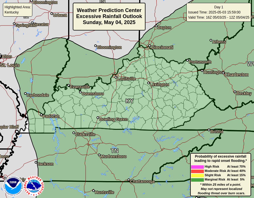
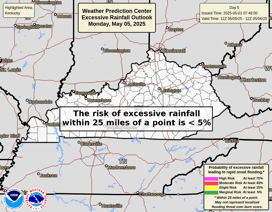
The Weather Prediction Center has much of the area in the risk for Excessive Rainfall during this time period…
From there, we watch for the increasing potential for big complexes of thunderstorms to drop in from northwest to southeast across, especially, central and eastern Kentucky. We won’t know the exact location for the heaviest rains but here’s a quick stab at where these may set up…
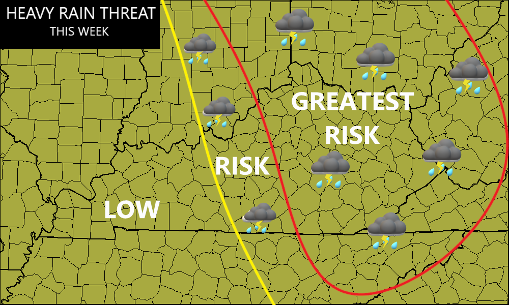
These storms will produce tremendous amounts of rain in a short period of time and this will really increase the flash flood threat for the Greatest Risk area. Several inches of rain will be possible in this part of the state, so please stay alert to the forecast in the coming days.
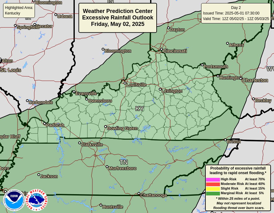
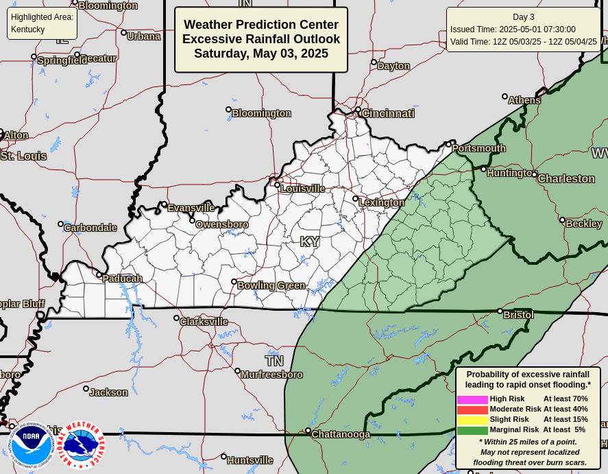
The Weather Prediction Center is monitoring this threat as they continue to place our region in the risk for Excessive Rainfall each day through the middle of the week…

The tropics have been a little quiet of late but that’s about to change as a system gets ready to spin up as it heads toward the Caribbean…

This would become Debby and there’s an increasing chance this impacts the United States at some point over the next week or so.
As always, I leave you with your storm tracking tools for the day…


Have a great Sunday and take care.
