Good Friday, folks. We’ve made it to the end of the week and our weekend is looking about as nice as you will ever find around here. We have an honest to goodness blast of September temps blowing in for the next several days. Woot!
Let’s start out there today and roll forward. Highs are in the 80s with a mix of sun and clouds with winds picking up as a cold front sweeps in from the northwest. There’s the smallest chance for a shower or storm, especially in the east.
You can track that small threat and watch what’s left of Debby roll toward New England on our radars…

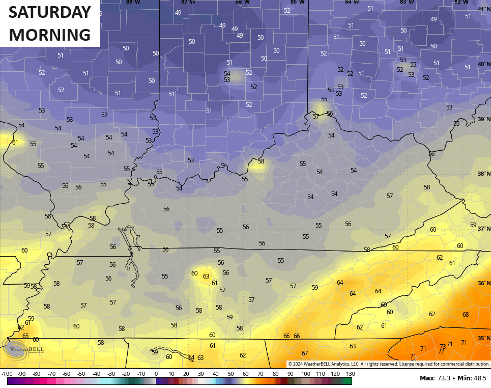
Much cooler winds surge in starting this evening and those really kick in over the weekend. Highs reach the upper 70s to low 80s with humidity levels about as low as you will ever find for the middle of August.
Lows this weekend are deep into the 50s…
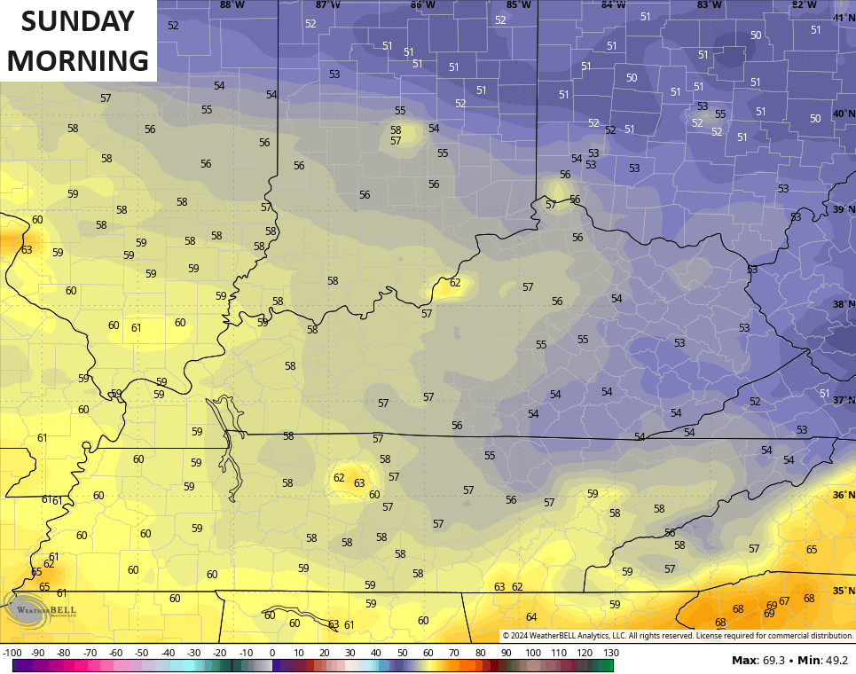
Lows then drop into the 50s again early Monday, mainly in the east and northeast…
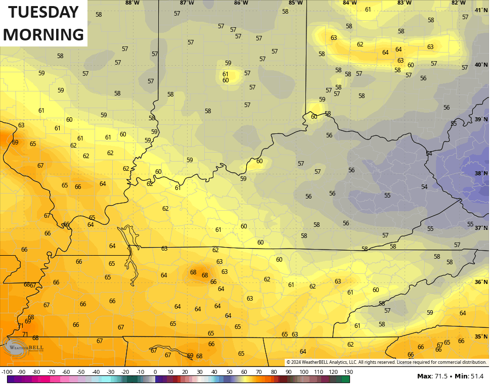
The numbers may then drop back into the 50s by Tuesday morning…
The chance for a few showers and storms will be noted on Monday as our pattern slowly tries to become more active. It does so with additional troughs swinging into our region and the eastern half of the country to keep our temps below normal next week into the following weekend.
The models are in good agreement on this and also show another tropical system off the east coast.
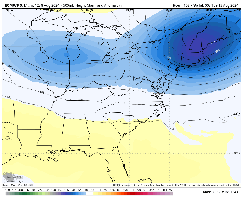
Here’s the upper level anomalies from the EURO…
And the GFS…
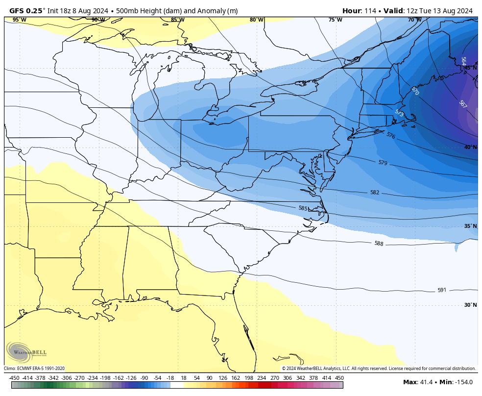
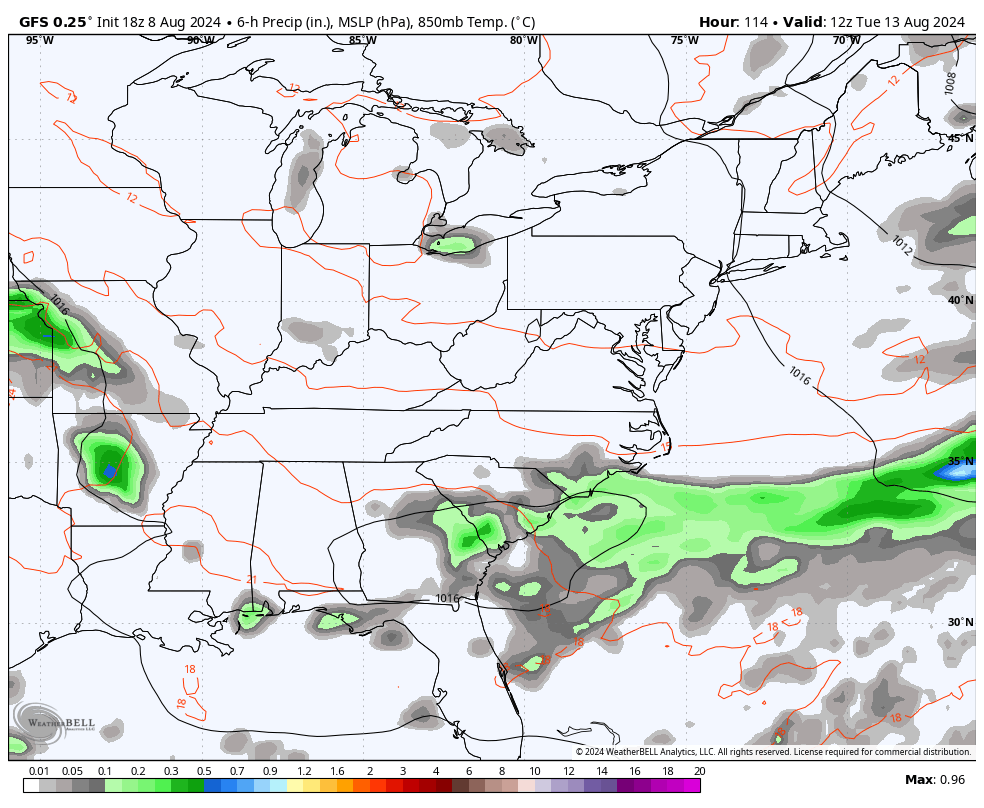
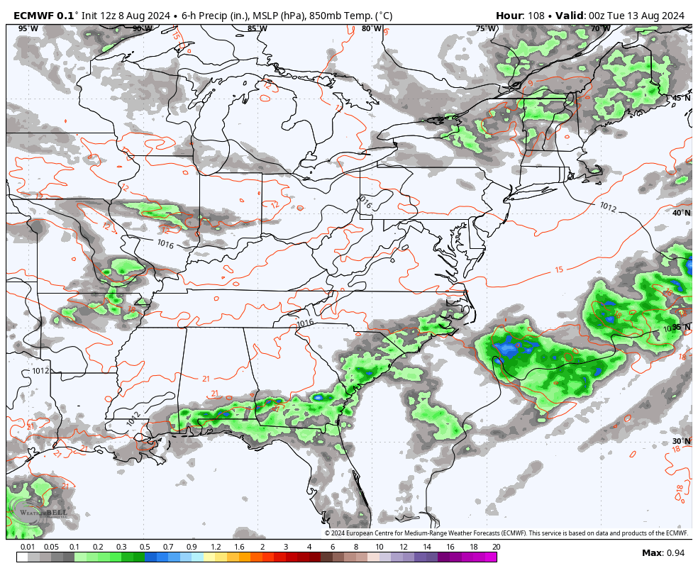
Those are really trying to go toward a big time cutoff system in our region. At the surface, you can see the ramp up in rain potential during this same time period.
Here’s the GFS…
And the Euro…
That possible tropical system off the east coast is still well out into the Atlantic but the National Hurricane Center shows the potential development in the coming days…

Make it a fantastic Friday and take care.

It’s really not a “blast”, but a normal August deviation.
Average high is 88 degrees this time of year and temps only in the 70’s is below normal
False. Average for August is 85. Sure it will be below that, but it’s nothing spectacular.
Depends on what data you look at, they are all different.
You have trolled Chris every day for a week. Is this your hobby?
You are woefully incorrect.
And???
I mean…. it’s going to be much cooler. Temps in the 50s for lows vs the mid 70s?
It’s hardly as big a deal as most think.
It’s daily. Contradicts and basically says Chris is wrong every day! lol Chris is used to the know it alls
Not worth saying anything to him Mark, I wish there was a block option. I get tired of the negativity haha
Your take on me is foolish.
I am so ready for cooler weather.