Good Saturday to one and all. We are kicking off one of the best weekends of weather you’re ever gonna find around here in the summer. This cooler than normal air looks to settle in for a longer spell as some showers and storms kick into the mix in the week ahead.
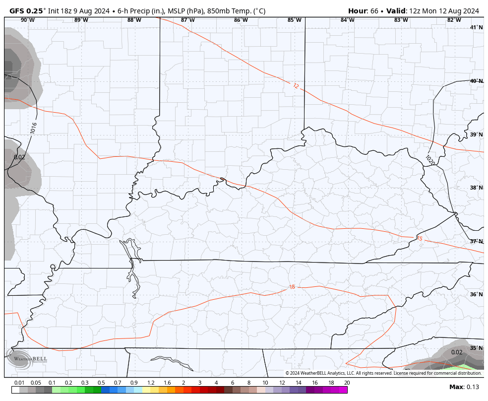
Temps today start in the 50s for central, western and northern Kentucky. Highs this afternoon reach the 75-80 degree range with a mix of sun and high clouds.
Sunday morning is deep into the 50s for the entire region with the outside chance for a few upper 40s in some of the cooler valleys. Highs are in the upper 70s to low 80s with a mix of sun and high clouds.
Cooler than normal temps continue for Monday and Tuesday with more clouds rolling in. There’s also the chance for scattered showers and thunderstorms zipping through…
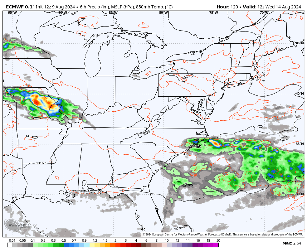
As all of this is happening, we will likely be watching Ernesto churning through the Caribbean. The National Hurricane Center shows the area where Ernesto should develop…

Can that system threaten the southeast or the east coast at some point next weekend or early in the following week? That’s a possibility, but the models are sending a big upper level low into our region during this same time. How those two interact will be a work in progress.
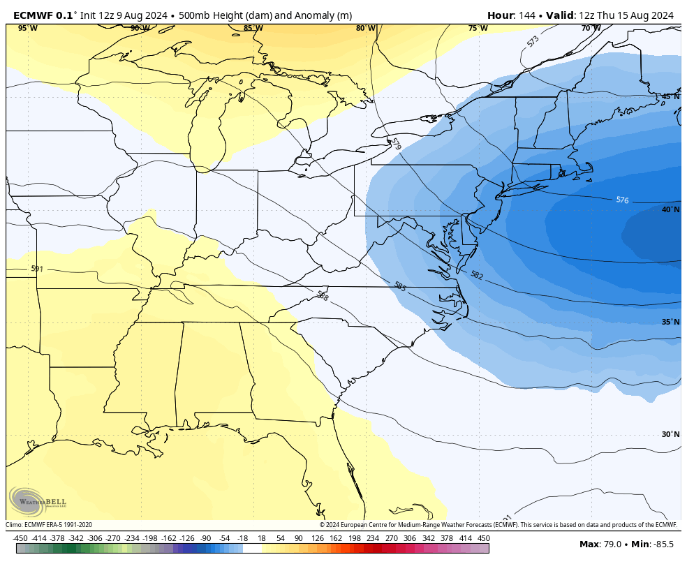
As is right now, the models are keeping that storm off the east coast with that upper level system bringing all kinds of showers and storms into our region from the middle of next week through next weekend…
Temps would be held well below normal in that type of a setup. That’s what happens with such a deep trough digging in and cutting off…
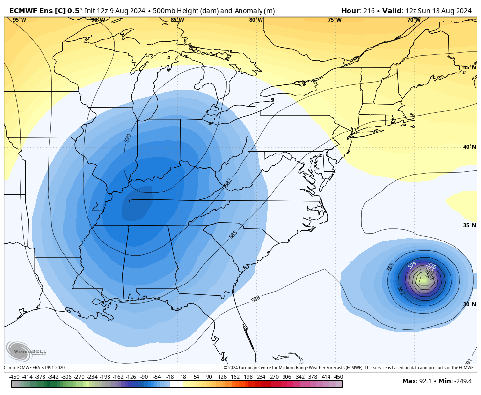
That animation from the EURO only goes through next weekend, but the control run of the EURO Ensembles goes through that following week and keeps that system hanging around…
Have a great Saturday and take care.

We shall see. 🙂
Thanks Chris. Looking like a very interesting weather pattern setting up for next week. I will really enjoy the weather we are currently having. Low this morning was around 60 degrees here in Maple.
Have a great Saturday everyone !
It was 60 in Richmond as well. My perfect Summer day is lows 55-65 and a high 85-95.
Jeff, I’m sure we will have more of your temp range, but them days is getting number as fall approaches. The farmer Almanac has predicted that temps this fall will be cooler than average across the country. But we shall see
I simply prefer to give each season its just dues. I actually enjoy the changing of seasons every year.