Good Thursday, folks. It’s another fall-like day across Kentucky as this big Canadian high pressure continues to do work. This will keep the pleasant weather rolling for a few more days before we change it up a bit. Those changes involve a little steam and some storms before another trough heads in.
Temps this morning will be deep into the 40s for much of Kentucky and may even be chillier than the incredible lows we had on Wednesday…
This was one of the chilliest August mornings on record here in Kentucky as lows hit the middle 40s in many areas. Check out the Top 10 lowest temps from the Kentucky Mesonet. #kywx pic.twitter.com/duDgk8WL5E
— Chris Bailey️️ (@Kentuckyweather) August 21, 2024
I wouldn’t be surprised for a few spots to flirt with 40 this morning. July and August are the only months in recorded history without, at least, one day with temps in the 30s. While we shouldn’t get there, it does show you just how rare this type of chill is.
Highs this afternoon are into the mid and upper 70s for much of central and eastern Kentucky with low 80s west.
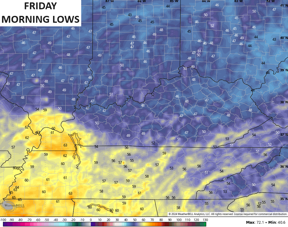
Lows Friday morning will likely be in the low and mid 50s for most, but a few models see another chance for some upper 40s…
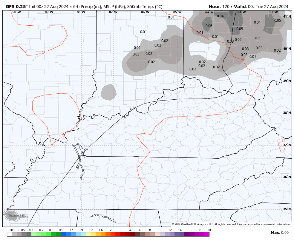
Temps this weekend slowly climb to normal levels then a bit above normal levels, especially in the west. Humidity levels steam up early next week as temps try to turn toasty. This steam may lead to a scattering of showers and thunderstorms late Monday through Wednesday…
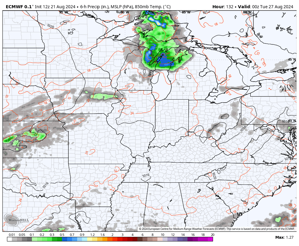
These showers and storms aren’t associated with a cold front that will be dropping in here late next week. That front may turn a little active as its sweeps in. This is the EURO from Tuesday through the start of Labor Day Weekend…
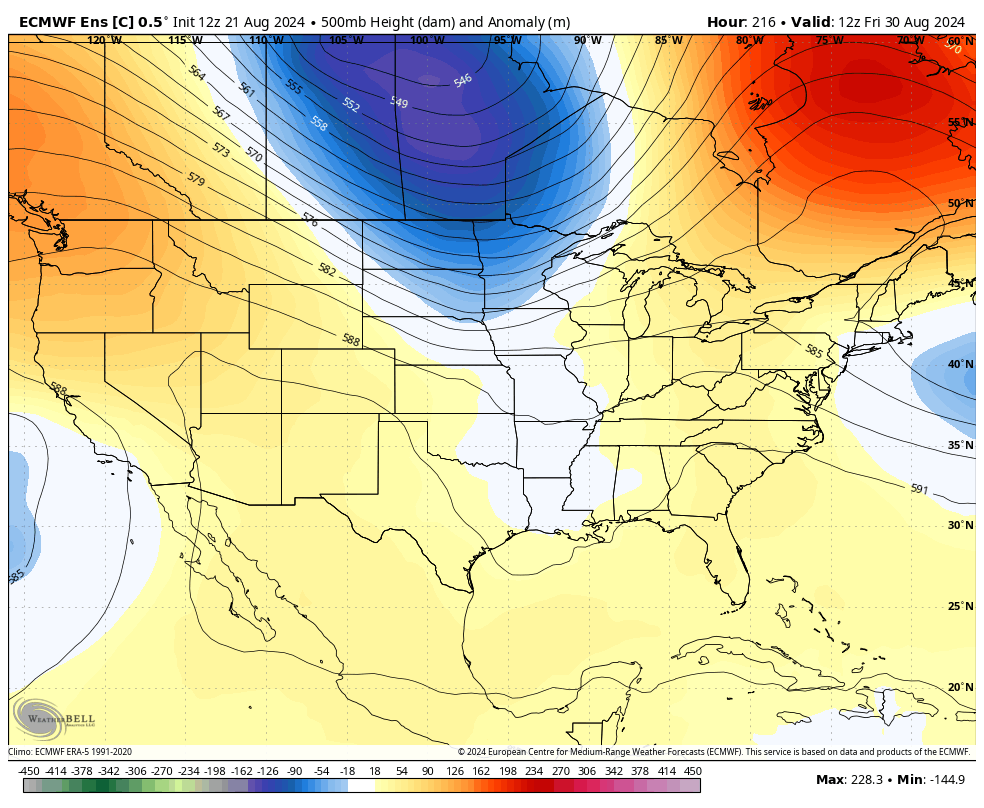
This front is ahead of another big dip in the jet stream…
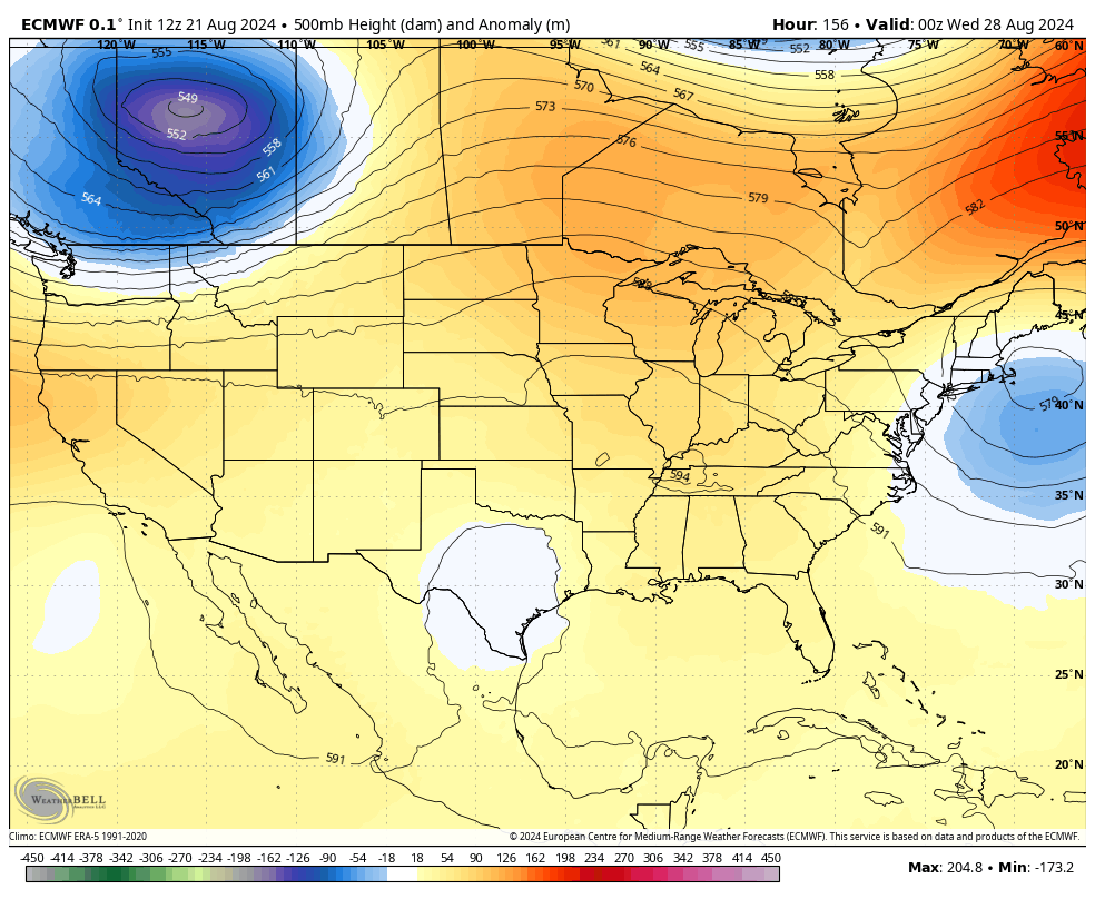
The Canadian is similar…
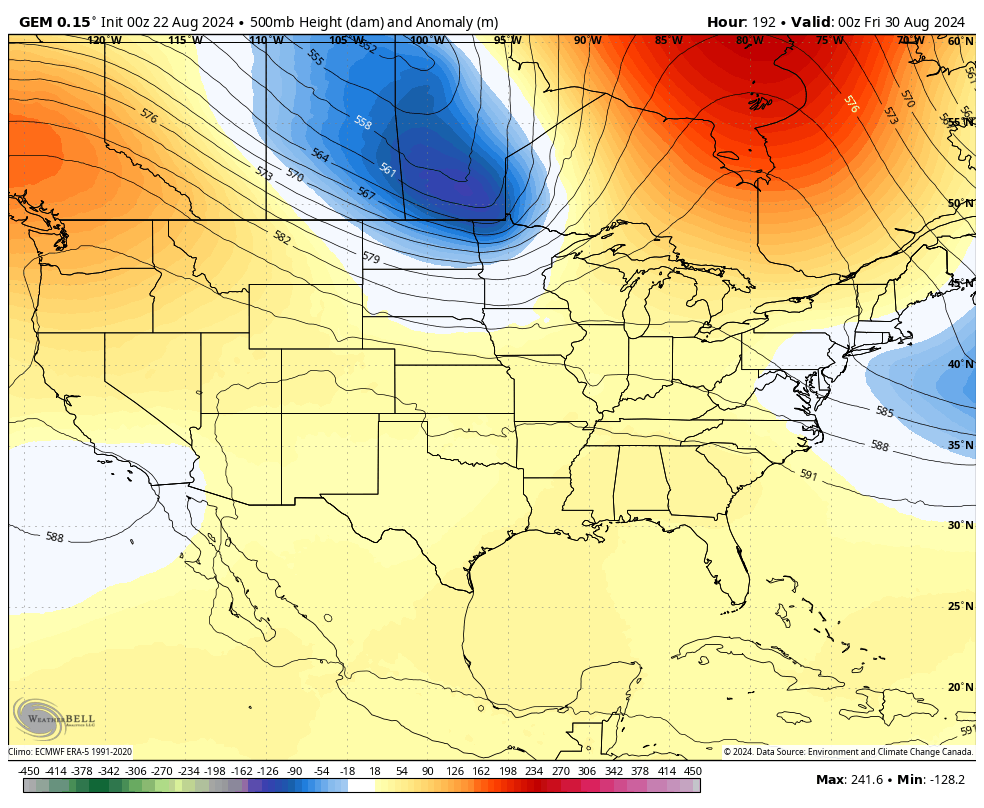
If that trough plays out like that, it could make for a comfy Labor Day Weekend.
The Control Run of the EURO Ensembles is also showing that trough and then has another trough dropping in behind it later in that first week of September…
I would not complain about that type of a setup!
Enjoy the day and take care.

Be wary of a potential September 2019 heat spell later in the month.
I hope not. I’m ready for nice cool fall football weather.