Good Monday, everyone. It’s the closing days of Meteorological Summer and toasty temps decided to show up fashionably late to the party. This period of hot weather will give way to some storms as the week wears on with a cold front arriving for our big Labor Day Weekend.
Highs today through Wednesday, at least, are in the 90-95 degree range for many with a few spots coming in on the wrong side of 95. Thankfully, humidity levels aren’t going to become a big time player as of now.
The core of the really ugly heat and humidity is staying just to our north and west…

That will focus farther south in time over the next few days, but our humidity levels won’t push the actual hot numbers very much higher.
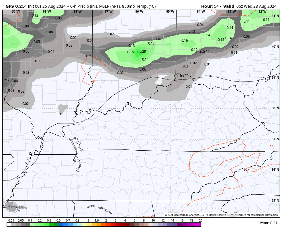
Scattered showers and storms will flare up in some areas Wednesday into early Thursday, especially in the north…
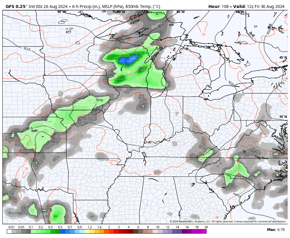
Friday finds a strong southwesterly push ahead of a cold front arriving Friday night and Saturday. Temps can surge again ahead of this boundary.
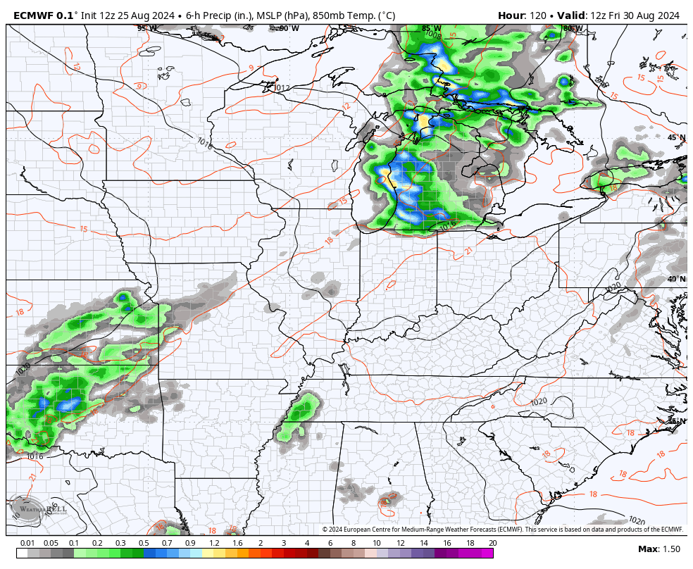
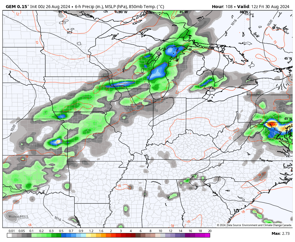
Showers and storms work in along and ahead of this front, which the models now show a bigger push from. This should clear the area with better weather Sunday into Labor Day itself, but we will need to watch just how far south that front gets.
Here’s the GFS…
EURO
The Canadian is a little slower and lingers more showers and storms into the weekend…
We are quickly getting toward the traditional peak of the Atlantic hurricane season, but someone forgot to tell that to the tropics. Things are really quiet…

Have a great Monday and take care.

I will enjoy this spell of much above normal temps, but my mind is already in fall mode.
September may have the same weather as August anymore. I remember having many frosty mornings after mid September, but that was back in the 1950’s and 60’s in south central Indiana.
I’ve seen temps close to 100 in September, especially in 2019.
I’m OK with the tropics being quiet, we don’t need any destructive storms.
Agreed. We could use just enough rain.
The hottest temperatures of the summer are on the way for the Chicago Metro Area for today and Tuesday (just in time for the start of school, of course). You can see all the Excessive Heat Warnings and Watches for today and tomorrow on the map for IL that CB has on this post.
On Tuesday, the Heat Index may approach 115 degrees here!