Good Wednesday to one and all. It’s another pleasant weather day across Kentucky with temps still coming in a bit below normal. But, as the old saying goes, you ain’t seen nothing yet. A big blast of mid-October air crashes into the region for the coming weekend.
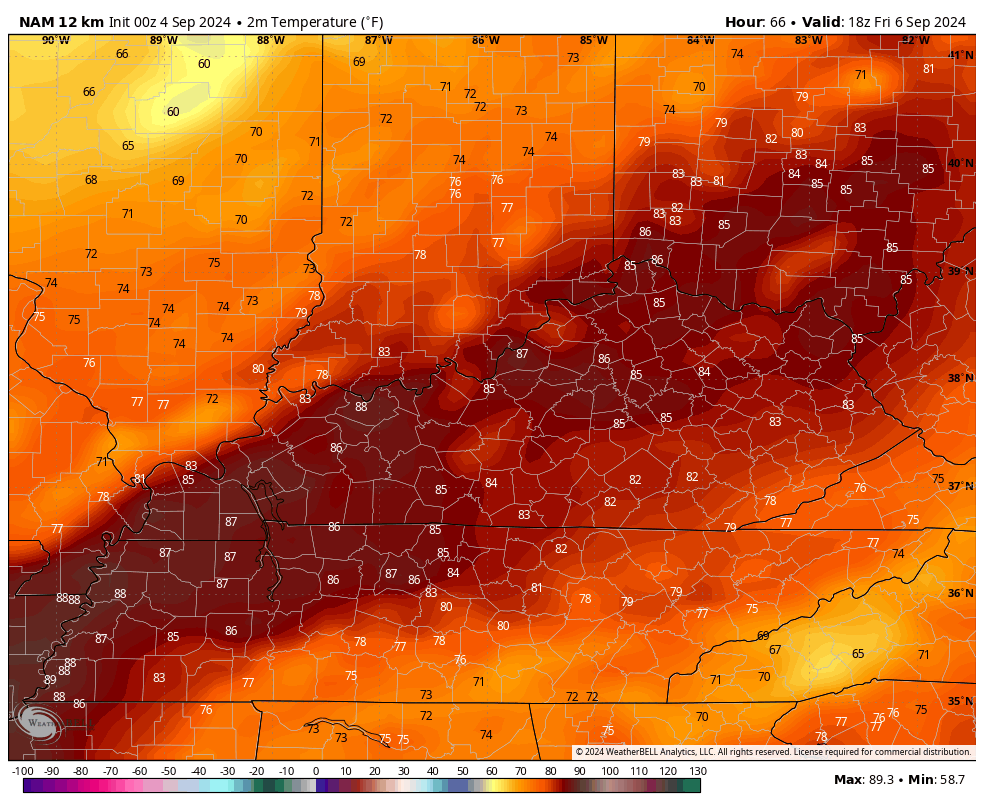
Let’s start with today’s weather and roll forward. Temps out there today range from the upper 70s to low 80s for many with areas in the north and west being a little higher. Clouds will also be noted and there’s still the chance for a shower or two going up.
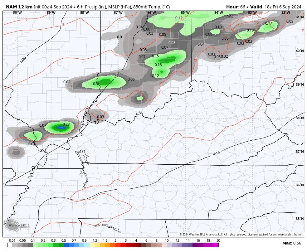
The best chance is across western and southern Kentucky. Whatever is out there will show up on your Kentucky Weather Radars…

Thursday is a seasonably warm day and that carries us into Friday as southwest winds crank ahead of our cold front. This front brings a quick-hitting round of showers and thunderstorms from Friday evening into the overnight hours, but the rain is likely pushing to our east by the time the sun comes up on Saturday…
Temps ahead of this front spike well into the 80s then crash down behind the front Friday night with the 40s showing up for some by Saturday morning…
A few of the models are faster with the front, meaning temps deeper into the 40s to start Saturday…
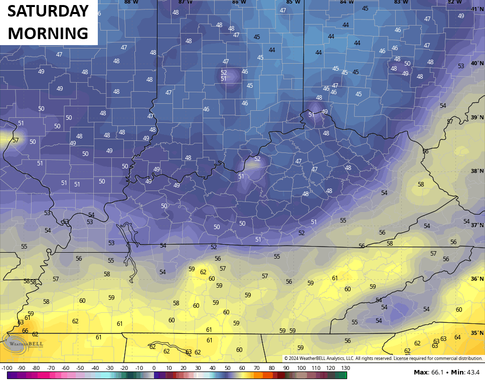
Highs Saturday are upper 60s to low 70s with a gusty north to northwest wind, making for a mid-October feel. Lows Saturday night into Sunday morning should make a run at record low temps as the numbers reach the low and mid 40s…
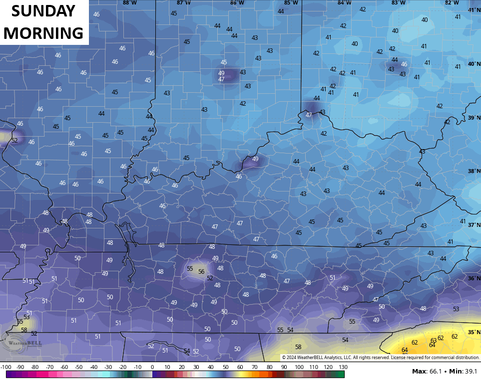
Highs once again are in the upper 60s to low 70s. We may very well flirt with record lows again Sunday night and Monday morning.
The tropics continue to be historically quiet as the National Hurricane Center isn’t seeing much of a chance for development over the next week…

This hurricane season was supposed to be a slam dunk super active season, but that, so far, hasn’t even come close to verifying. There are no slam dunks in the wonderful world of weather, folks.
Make it a wonderful Wednesday and take care.

I’m issuing a #BBQWarning for Saturday night, possibly extending into Sunday night. 😉
One can enjoy a grilled out steak and a bowl of chili despite what weather we have.
Thanks Chris. Hoping the Fall temperatures this weekend pan out with more staying power, and a good rain before, as we really need it here in South Central Kentucky. Chris very true statement ” weather is not always a slam dunk. ”
Enjoy the day everyone !
I found out why the Atlantic Tropical storm season has not developed as forecast earlier. Stability for one, and a very warm upper atmosphere. As we get closer to our Winter month ( D J F ) the upper atmosphere cools ( of course ) could form more late storms. I remember Hurricane Kate occurred in mid November 1985. Global warming is delaying the cooling of our upper atmosphere, which is causing a ” climate change ” in our precipitation pattern.