Good Wednesday to one and all. Tropical showers have been spinning through central and eastern Kentucky since early Tuesday and we have a few more left in the tank out there today. Looking ahead, summer temps aren’t ready to give up and we have big changes next week.
Temps out there today are deep into the 80s in the west as skies stay mostly sunny. Areas of eastern Kentucky may not get out of the 70s again as clouds spit out a few more showers and some thunderstorms. This won’t be as concentrated as Tuesday, but some pockets of heavy rain may show up.
There’s also the chance for isolated showers and storms into central Kentucky.
Here are your Kentucky Weather radars for the day…

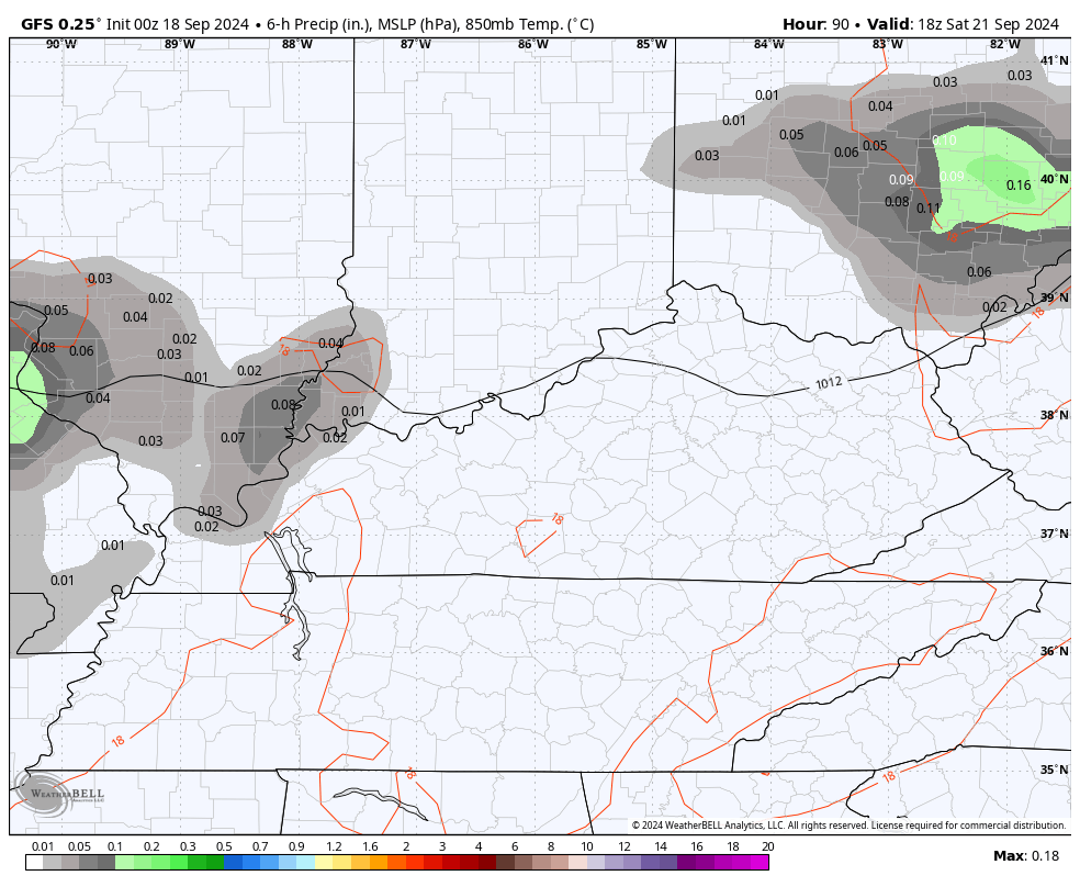
Temps are warm for Thursday and Friday and into the weekend. Speaking of the weekend, there is the chance for a shower or thunderstorm going up late Saturday into Sunday. Some of the models are now picking up on this…
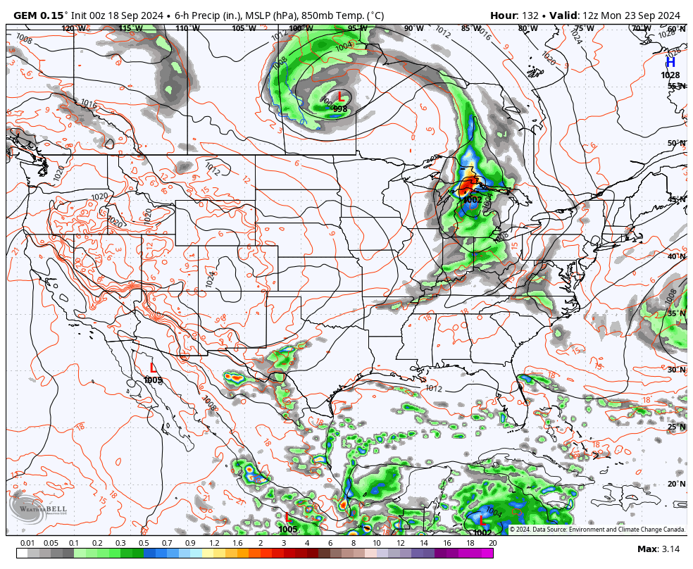
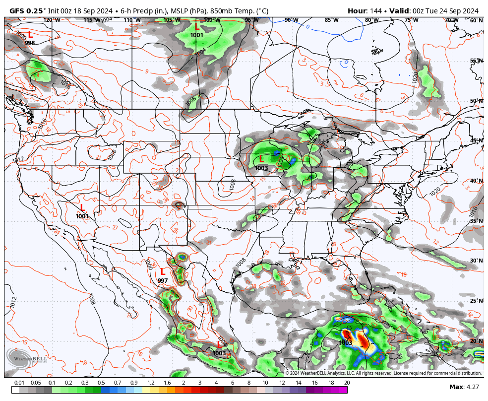
The pattern for next week is one that will likely feature a couple of hefty troughs sweeping into the eastern half of the country. At the same time, there’s an increasing threat for a tropical system to develop in the Caribbean and then into the Gulf of Mexico.
The National Hurricane Center is now highlighting this possibility…

As one would expect, this is way out there in model land so they’re going to show different solutions with how they handle this potential and will change from one run to the next.
The current looks from the Canadian and GFS…
CANADIAN
GFS
Have a wonderful Wednesday and take care.

I will enjoy the warmth this weekend and be ready for cooler air after that.
Send up a flare when serious rainfall for Central Kentucky is in the offing. Need to head back out to finish watering in new seed before the sun rises.
This time of year can be the absolute WORST when it comes to the weather being boring.
Thanks Chris. I think the mild tropical activity in the Gulf, Caribbean, and Atlantic is preventing our chances of receiving any widespread rains. Interrupts the west to east progression of weather systems. Looking like Summer will make a big return over the next 7 to 10 days. More high pressure moving in. The driest I’ve seen since I been living here. No real change in the PDO or the AMO. Until these two oscillation change, I predict no change in the precipitation pattern, but temperatures will fluctuate as always throughout the coming Fall and Winter.
Have a great afternoon everyone !