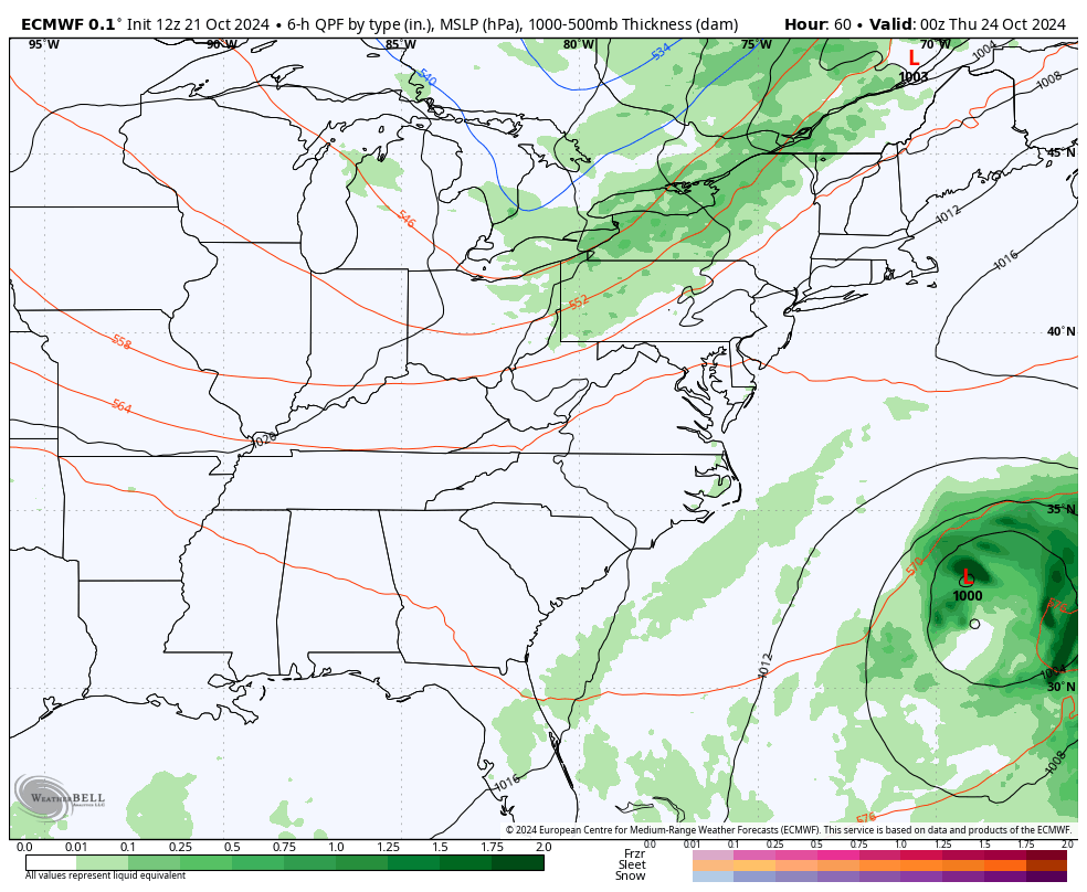
Good Tuesday, everyone. We are gearing up for a weak cold front ready to settle into the region later Wednesday. This is the first of two fronts, with the second giving us the best chance for some needed showers over the weekend.
Temps today and Wednesday are in the 70s with mostly sunny skies. Winds gust up to 25mph or so on Wednesday as that cold front slides in. Temps behind this drop into the 30s by Thursday morning and the 60s by the afternoon.
Friday turns windy and mild as another system rolls in from the west. This will bring scattered showers into the state through Saturday…
Temps come way down toward more seasonable levels during this time.
Those numbers bounce right back up on a gusty southwest wind for Monday and Tuesday. That’s ahead of what should be a fairly sizeable storm system developing across the Plains states. How and when this impacts Kentucky is a work in progress with the models giving us a different look with each run.
The EURO brings a cold front through here next Wednesday with fairly widespread showers and some thunder…
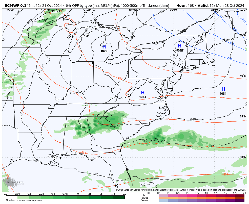
The timing on that would make for some chilly, but nice weather for Halloween.
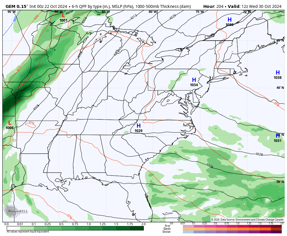
Other models aren’t as quick as the EURO. The Canadian brings that system through on Halloween…
The GFS can’t even find that system and that’s a sure sign we are getting close to winter.
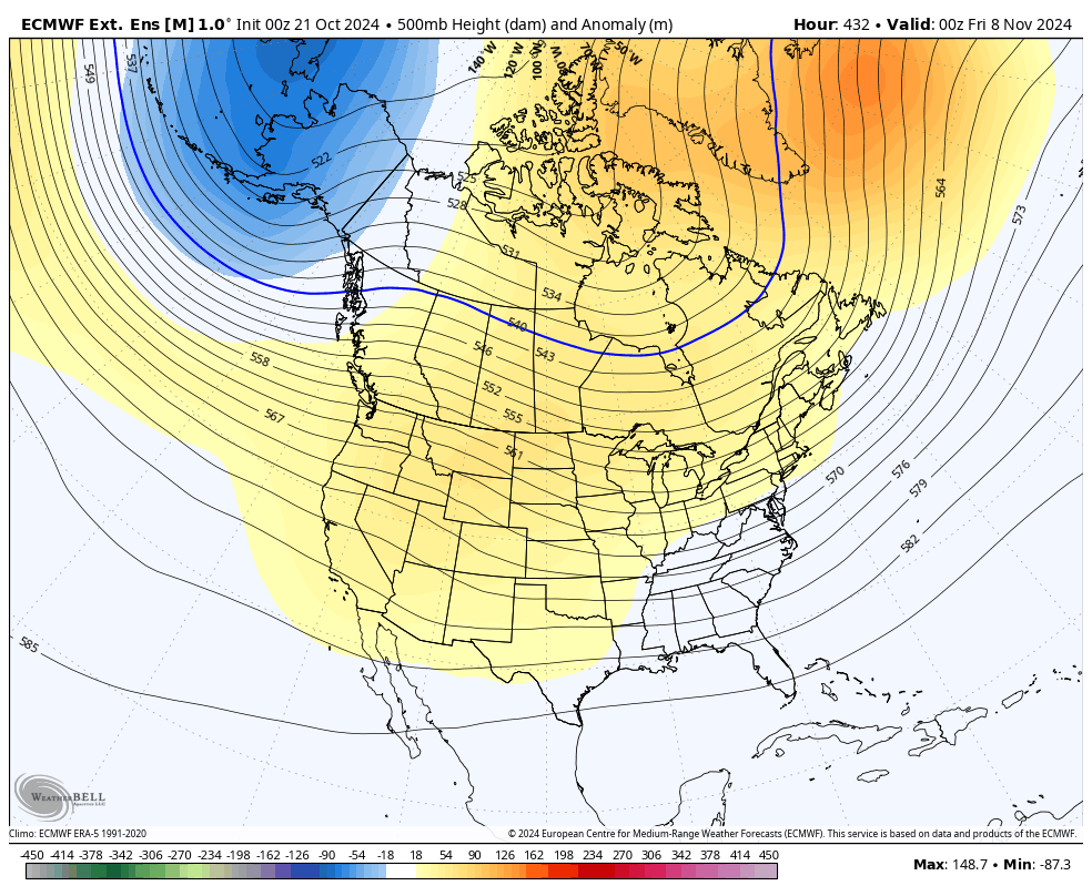
Looking longer down the road via the EURO Weeklies, we find the signal for a pattern change as we get deeper into November. The 30 day height anomaly map shows a little more troughing getting into the eastern US from November 5 through December 5…
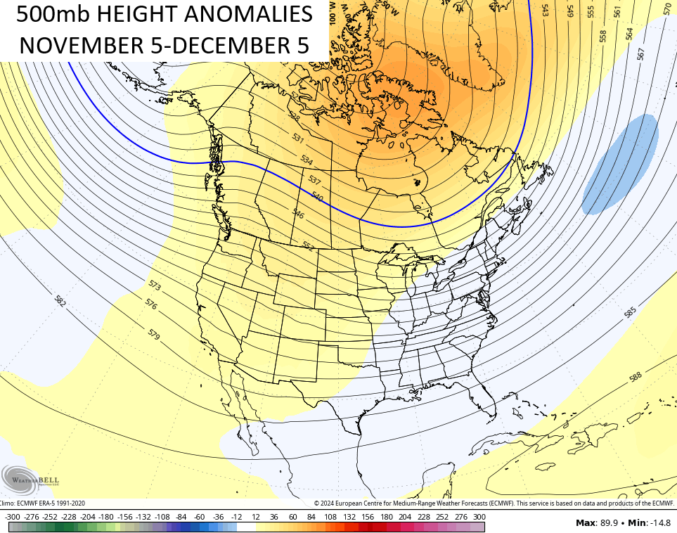
You can clearly see how these troughs get deeper toward the end of that period…
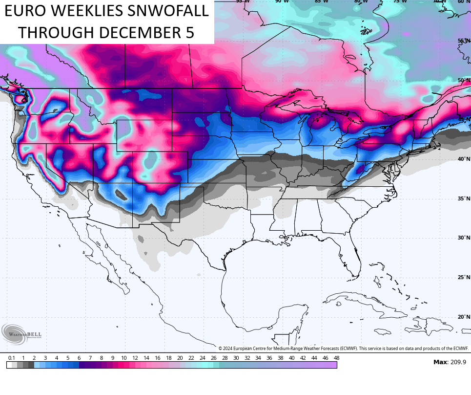
Here’s the snowfall from this same EURO Weeklies through December 5th…
‘Tis almost the season, y’all!
Have a terrific Tuesday and take care.

Thanks Chris. The following is a ” Tail of two Cities ” Here’s the link comparing NOAA’s Winter forecast with the Farmers Almanac Winter forecast for Kentucky :
https://www.courier-journal.com/story/news/local/2024/10/11/noaa-2024-25-winter-forecast-maps-show-what-to-expect-in-kentucky/75606394007/
Have a Great Day Everyone !
Just hoping that the storm has enough moisture along the cold front to give us our first rain of the month of October. I have never seen a month without any measureable precipitation. I believe one would have to look back to the early 1800’s to find such.
It’s probably expecting too much, but even 1/4” would be helpful. Our deluge from Helene has evaporated or is now in the Gulf of Mexico.
Winter is coming, which means that the models will suddenly be “out to lunch” after being mostly successful all Summer. 😉