Good afternoon, everyone. The 4th widespread light snowfall of the young winter season impacted the area this morning and is now pulling out of town. Pulling into town is the next winter blast in the form of snow showers and snow squalls this afternoon and evening.
The morning snowfall was pretty much on point with the forecast we’ve had out for several days now with the east and southeast picking up on a few inches with coatings deep into central Kentucky.
Now we get set to crank up snow showers and a few snow squalls that can cause travel issues this afternoon and evening. As a matter of fact, it will be interesting to see if we can squeeze out a rare Snow Squall Warning.
Visibility will be reduced to near 0 for a brief time as these snow showers and squalls spit out enough snow to briefly cover roads.
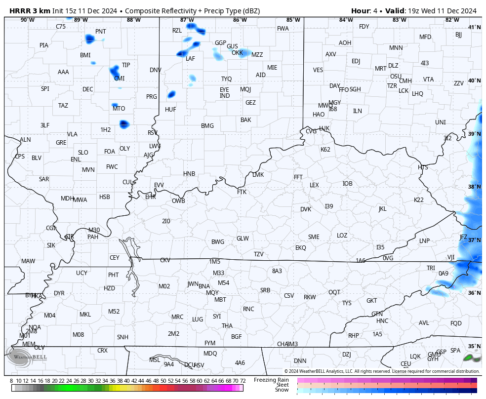
The HRRR future radar shows these streaks of snow showers and squalls…
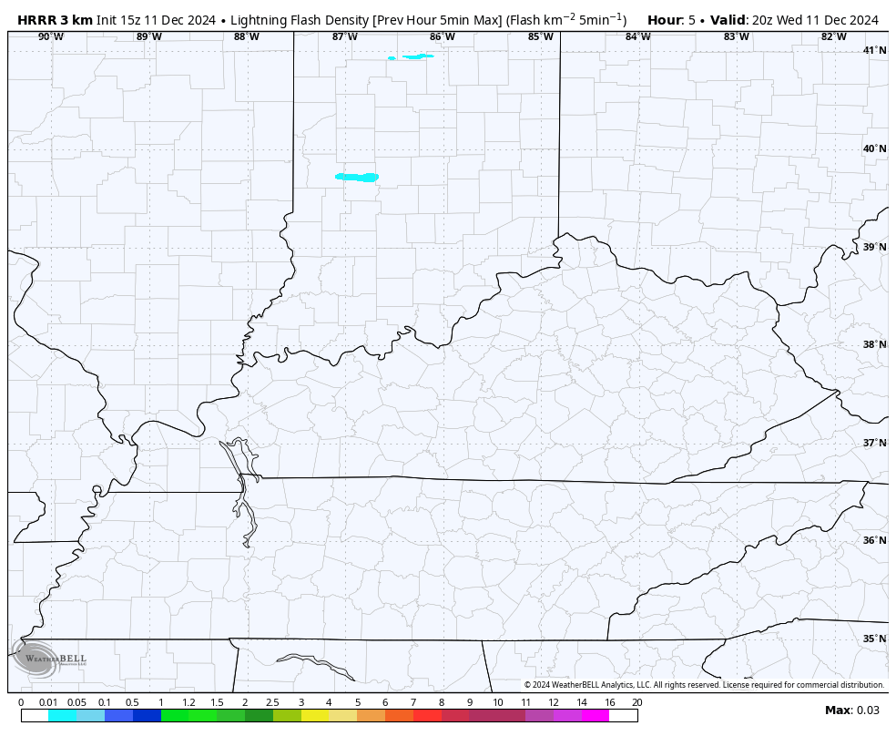
Can we get a little thunder? The HRRR does show the chance for some lightning…
Cold air tonight and Thursday means business with wind chills reaching the high singles to low teens to start the day.
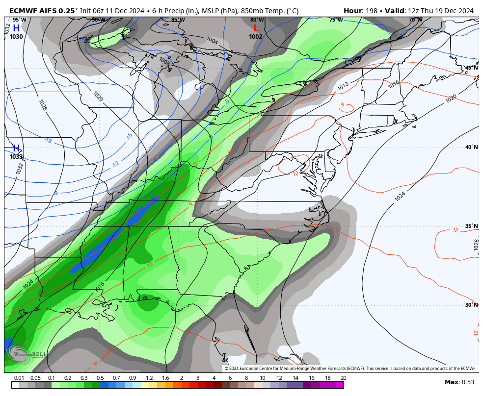
The weekend rain system is still on track, along with another system late Monday and Tuesday.
A more winter looking system is possible later next week into the weekend before Christmas. This comes as the EURO AI continues to bring winter looking systems and cold air through Christmas. Remember, the AI doesn’t give us precipitation types…
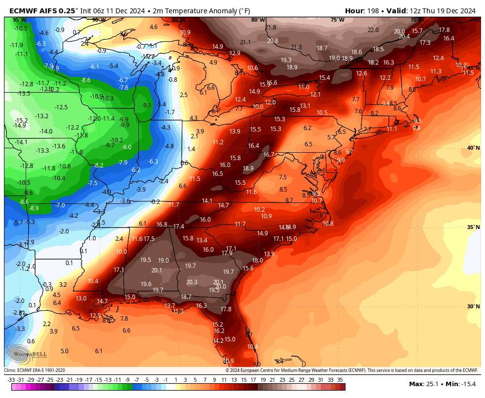
The AI shows healthy cold blasts…
I have the latest on WKYT-TV starting at 4pm and with another KWC update later this evening. Until that time, I have your tracking tools including our Kentucky Weather Cams to watch the flakes flying across different parts of the state…


Have a wonderful Wednesday and take care.
