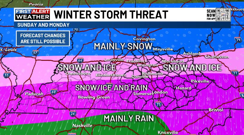
Good afternoon, everyone. Our Winter Storm THREAT continues for Sunday and Monday as a significant ice and snow event targets our region. This will cause all kinds of issues and will be followed by bitterly cold temps.
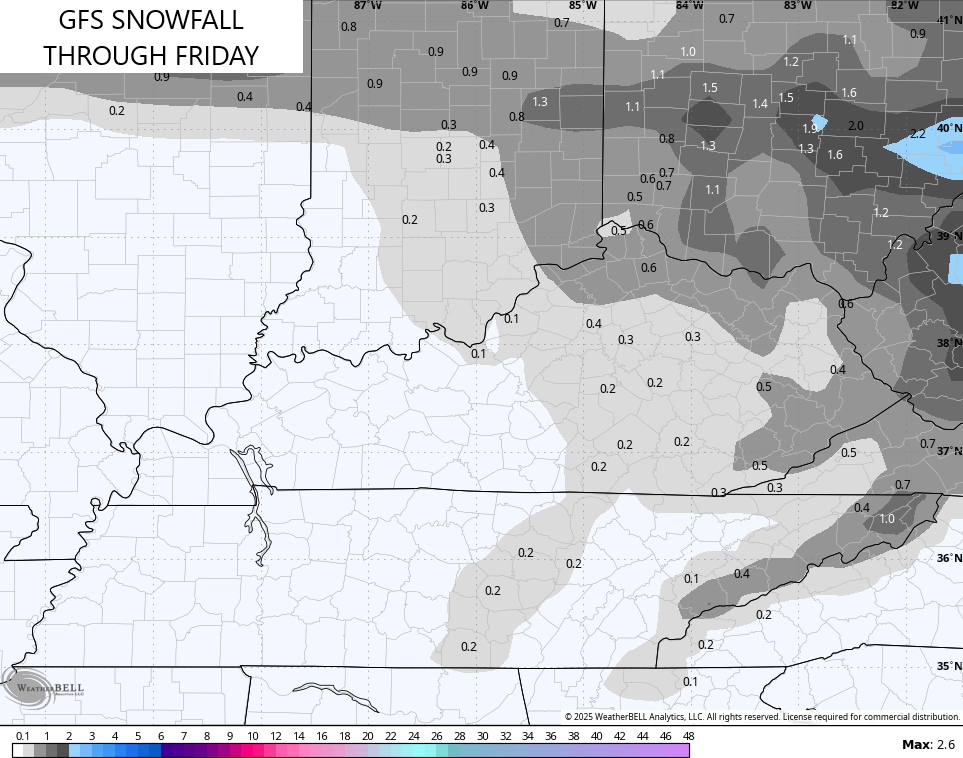
Before the Winter Storm hits our region, we have a light snowfall coming late tonight into Friday across areas of central and eastern Kentucky. Coatings to MAYBE local 1″ will be possible…
he Winter Storm THREAT area remains unchanged in my eyes…
I don’t anticipate major changes to the overall thinking, but I will, obviously, get zoned in on totals and such. That will be with a First Call map later tonight.
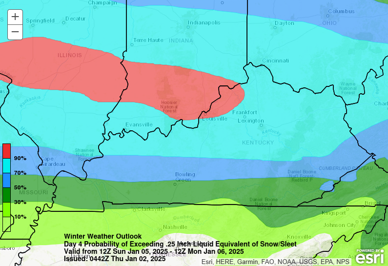
The Weather Prediction Center has much of the state in the high risk (70% or greater) of significant ice and snow with this system…
The timeline on this storm remains unchanged:
SUNDAY MORNING
- Snow, sleet and freezing rain develop in western Kentucky and this expands quickly across the rest of the state.
- Travel conditions deteriorate quickly.
SUNDAY AFTERNOON
- Snow, sleet and freezing rain increase in intensity and coverage.
- The heaviest encompasses the northern half of the state.
- Far southern Kentucky will go over to rain with a temp spike.
SUNDAY NIGHT
- Heavy amounts of freezing rain, sleet and snow impact the northern half of Kentucky.
- Significant icing may lead to power issues for some areas.
- Winds will also be very gusty and that won’t help matters.
- Southern Kentucky has mainly rain and a mix.
- Where the lines are for each precipitation type will be a gametime decision.
MONDAY
- Morning freezing rain quickly goes back over to snow.
- A band of moderate to heavy snow may be noted across central and eastern Kentucky.
- Winds will still be gusty as our storm moves east.
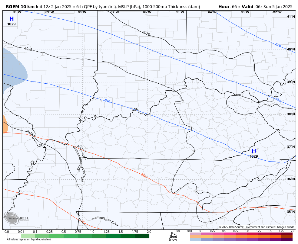
This storm is starting to get within the range of the short range models like the NAM. The NAM really likes to overdo warm air advection in these setups, so we need to be mindful of that when using this model going forward.
The NAM goes through 7pm Sunday, but looks reasonable right now…

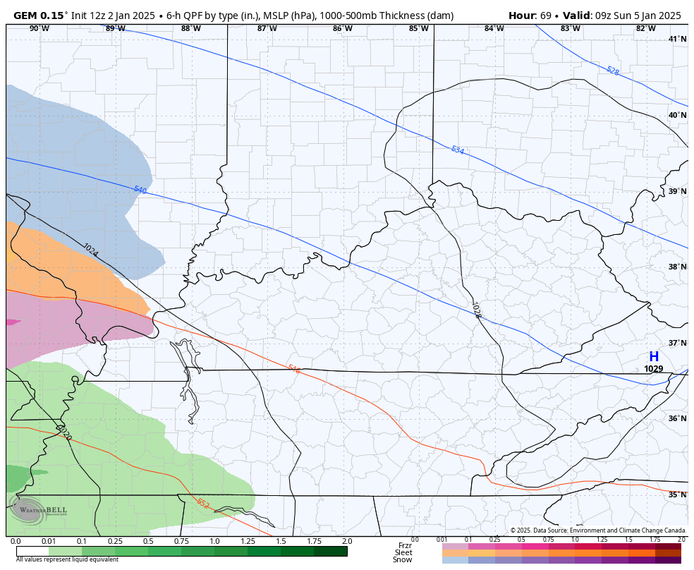
The Short Range Canadian goes through the same time period and is showing a tremendous amount of precipitation…
The overall precipitation type look on the Canadian is the closest to my current thinking, but it too is cranking out a ton of total precipitation…
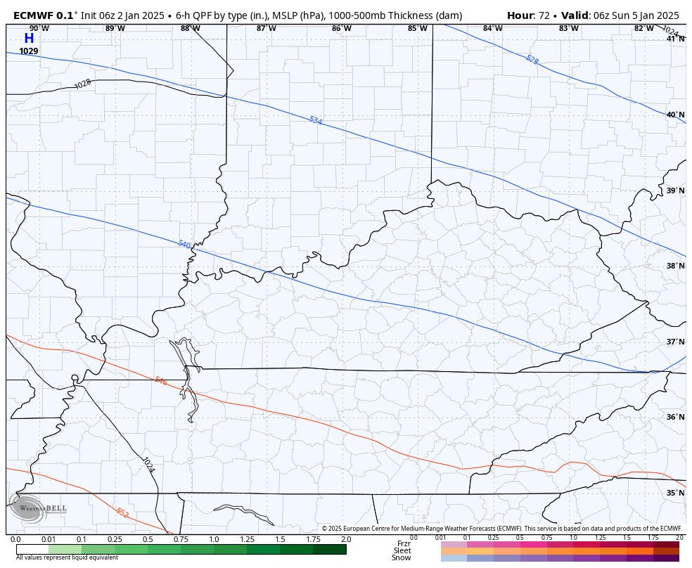
The EURO is very similar to this, but it isn’t showing as much total precipitation…
Then we have the GFS that had enough wobble to briefly take the rain line a touch farther north…
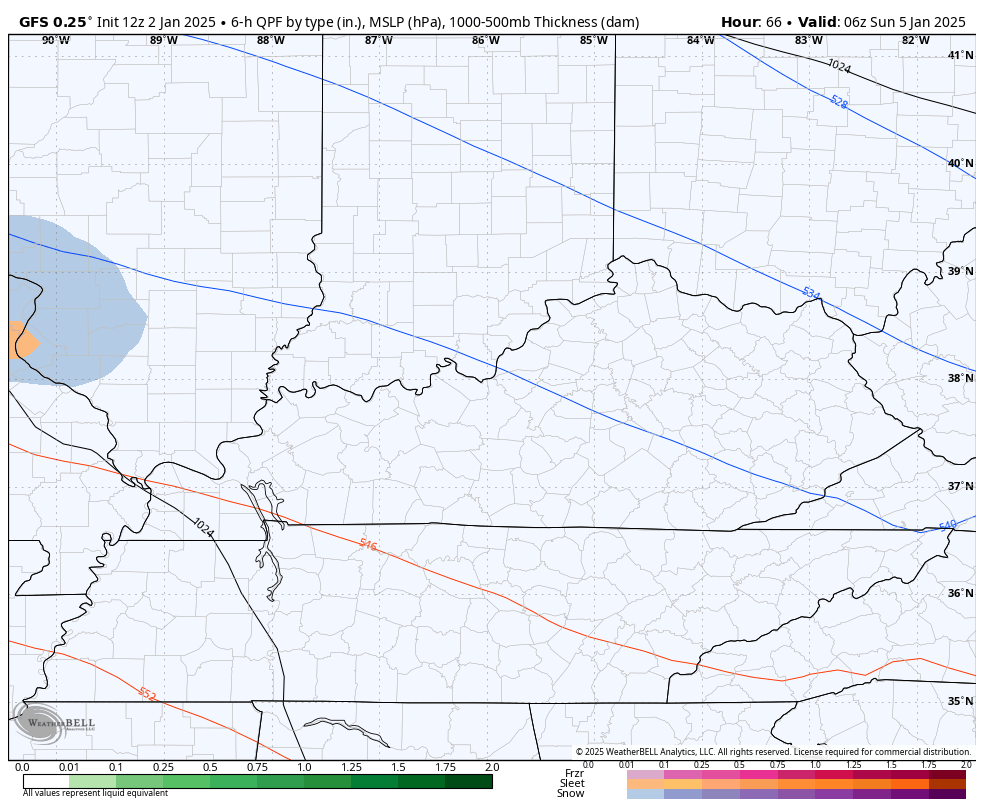
Small wobbles like that are to be expected so don’t get caught up in those things, folks.
The overall evolution of this storm has not changed much at all.
I’ll have the latest on WKYT-TV starting at 4pm today and I’ll drop by for another update or two here on KWC.
Until then, let’s track our light snow maker in from the northwest…


Enjoy the day and take care.

Thanks Chris. Hoping for all Snow. I wish that 540 line would stay way south of Kentucky. Models are not agreeing on precipitation type, on how much, and where. By Saturday, there may be a Winter Storm Warning or Watch issued by the NWS. We shall see, but this is really making me nervous.
Me too Schroeder.
Just posted winter storm watch here in western,ky. Stated 4 inches or more snow and quarter of inch of ice possible