Good evening, folks. Temps are getting ready to climb before they go right back down to bitterly cold territory late this weekend into next week. This harsh winter pattern will also be accompanied by snow threats, with the first arriving Saturday night and Sunday.
Let’s focus on the weekend setup right out of the gate.
An arctic front moves in with showers ahead of it on Saturday. This boundary slides through with crashing temps and a wave of low pressure developing along this Saturday night and Sunday. Where does this low form and how strong will it be? The answer to those questions will determine the snow potential around here.
The Canadian Model has been steadfast in developing this system into something bigger. The latest Short Range Canadian Model only goes out through 1am Sunday, but it’s also showing a bigger snow threat…
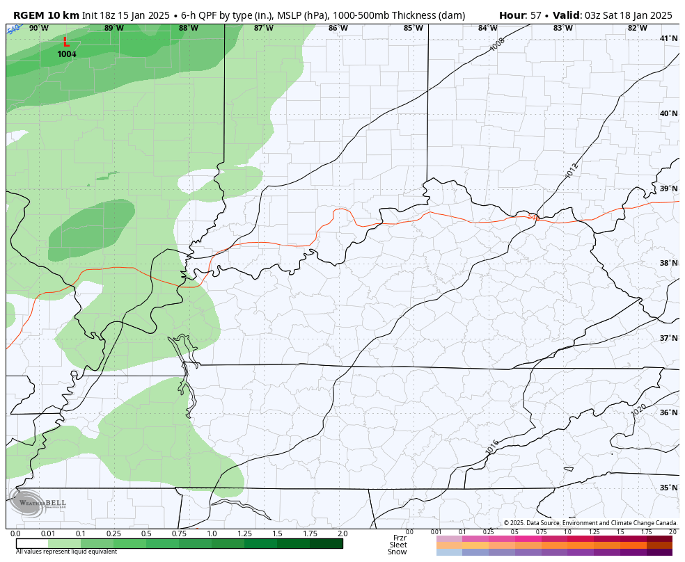
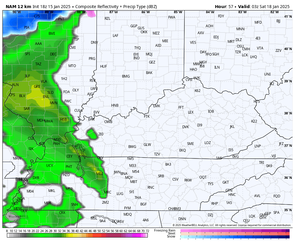
The NAM goes out to the same time periods and is also showing some snow developing Saturday night. The future radar from the NAM also shows a pocket of snow on the front end of the Saturday showers…
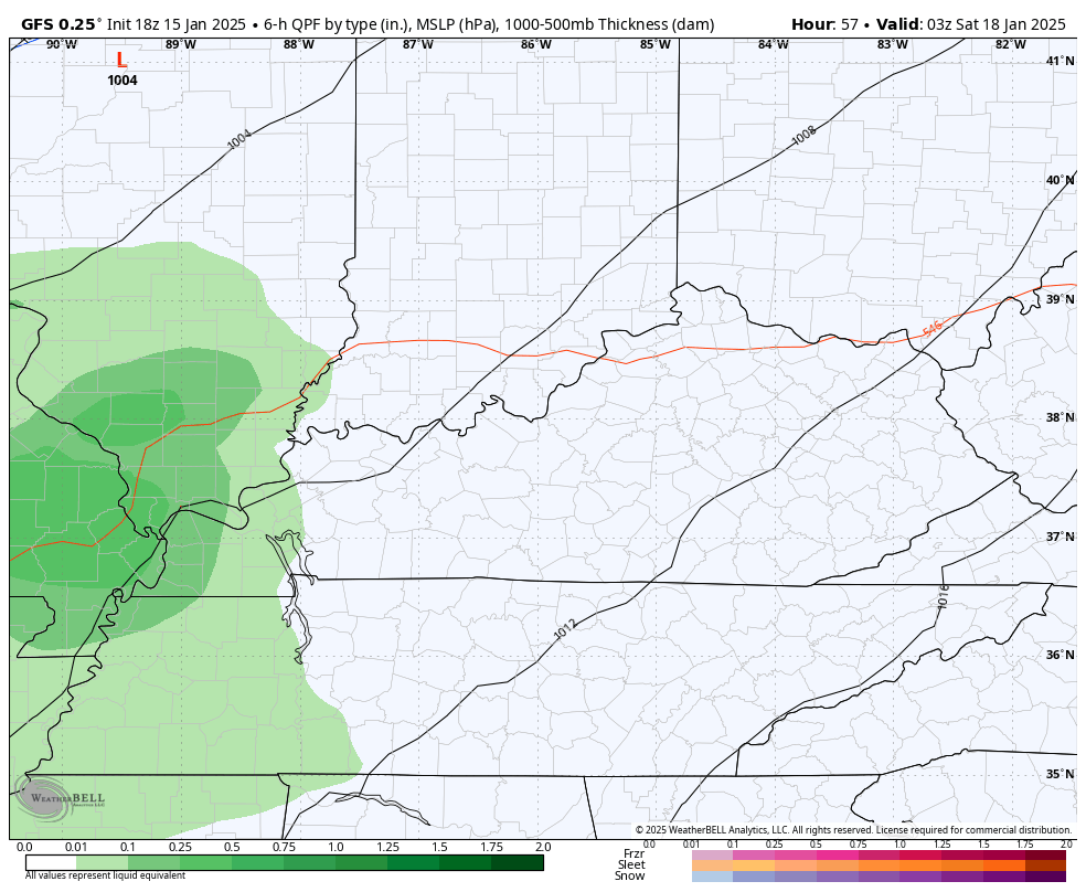
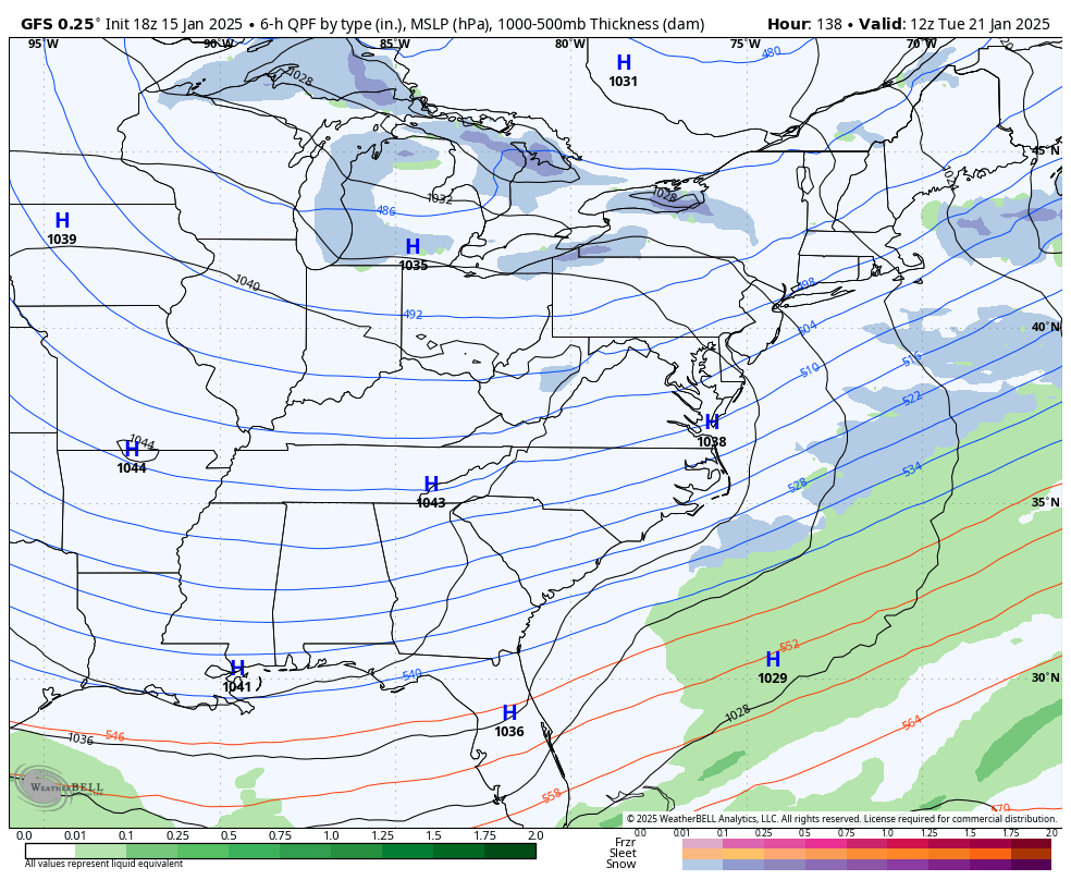
The GFS is trying to find a little bit of snow with this but the progressive bias of the model is hard at play…
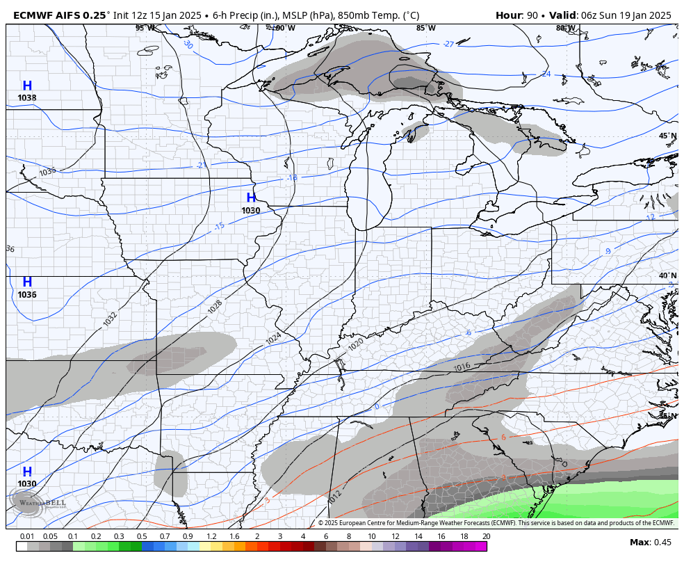
The AI version of the EURO doesn’t show precipitation type, but it does show this wave of low pressure throwing snow in here Saturday night and Sunday…
Bitterly cold temps follow this up with another winter storm potential working from the Gulf Coast States toward the Mid-Atlantic states starting Tuesday.
The models all handle this much differently and they totally change from run to run. The GFS off runs like the 6 z and 18z seem to be more bullish on a big winter storm impact for our region while the 0z and 12z runs don’t even see a storm.
The 18z afternoon run shows a storm…
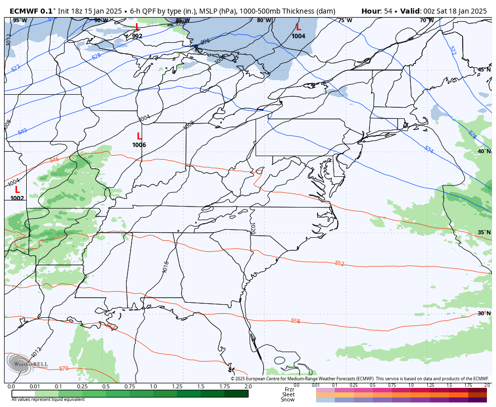
The latest EURO sees some light snow for Sunday and is farther north with the beginning of the southern winter storm by Tuesday…
I’ll have a full update on this later tonight. Enjoy the evening and take care.

Just feels like a big storm is brewing,. thanks for update Chris..
It’s ridiculous how inconsistant & franklynrandom the GFS is. Can’t they do anything to improve it?