Good afternoon, everyone. I wanted to drop by for a very quick update on the potential for severe storms later today into tonight. This is ahead of a potent system moving through the region, bringing some heavy rains with it.
Another system follows that up by the weekend before we transition into more of a winter pattern early next week.
The Storm Prediction Center has expanded the Marginal Risk for severe storms to include most of Kentucky through tonight…

With just enough shear available, there’s even the risk for a quick tornado spin up across south central parts of the state…

That damaging wind threat is why the low-end severe threat was expanded…

After a break on Friday, more in the way of showers and storms roll into the region Saturday into Saturday night. Once again, local high water issues may be a problem across the eastern half of the state.
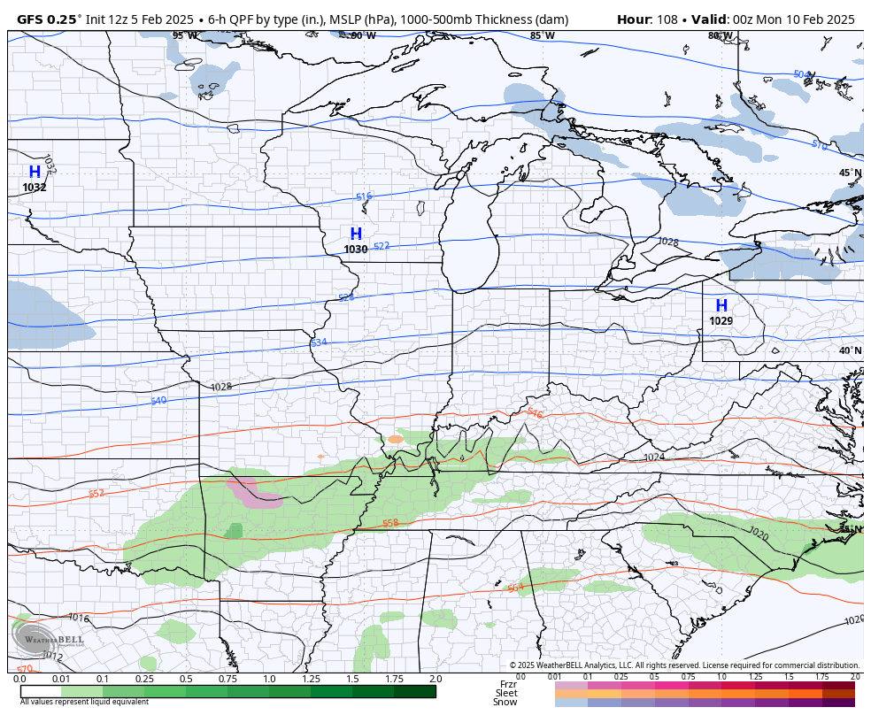
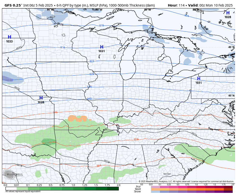
The setup next week features a boundary stalled to our southeast with waves of low pressure riding along it. This means we are in the line of fire for a lot of precipitation and much of this may be in the form of winter precipitation.
The GFS is becoming consistent with how it’s seeing the overall setup, but it still has some deviations from run to run.
Here’s the latest run…
And the run before that one…
I’ll talk more about this and the severe threat on WKYT starting at 4pm then with another KWC update later today. Until then, I have all your storm tracking tools for the day…

Current Warnings

Current watches

Possible Watch Areas

Make it a wonderful Wednesday and take care.
