Good afternoon, everyone. As we enjoy a break in the action today, another rain and storm maker pushes across the region this weekend bringing the threat for more high water issues. This will be followed up by several large storm systems that will bring us a ton of nasty stuff next week.
Scattered showers develop across the west this evening and those will increase later tonight into Saturday. A few thunderstorms will also get into the mix with a huge temp gradient setting up again on Saturday. As the front moves in, a healthy line of showers and thunderstorms will slowly push through during the evening hours.
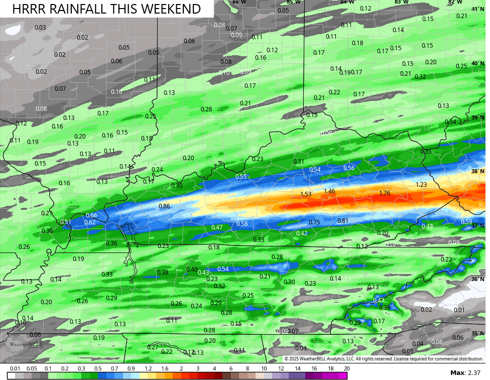
The models are starting to show some healthy rains across central and eastern Kentucky.
The HRRR has a swath of 1″-2″ rains…
I have no changes to the pattern coming our way for next week…
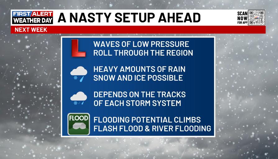
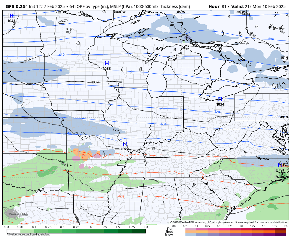
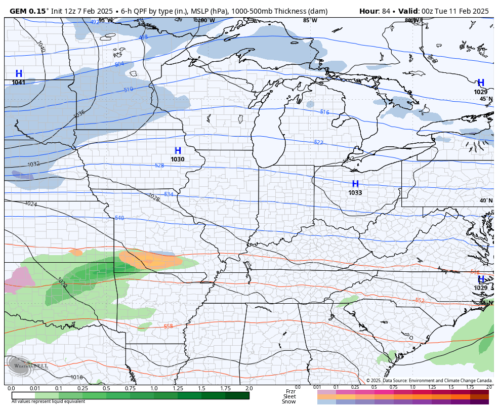
The models are all on board for several large storm systems that can bring significant amounts of rain, snow and some ice.
Once again, don’t rely on the models for specifics from this far out, but they all have the same ugly theme…
GFS
CANADIAN
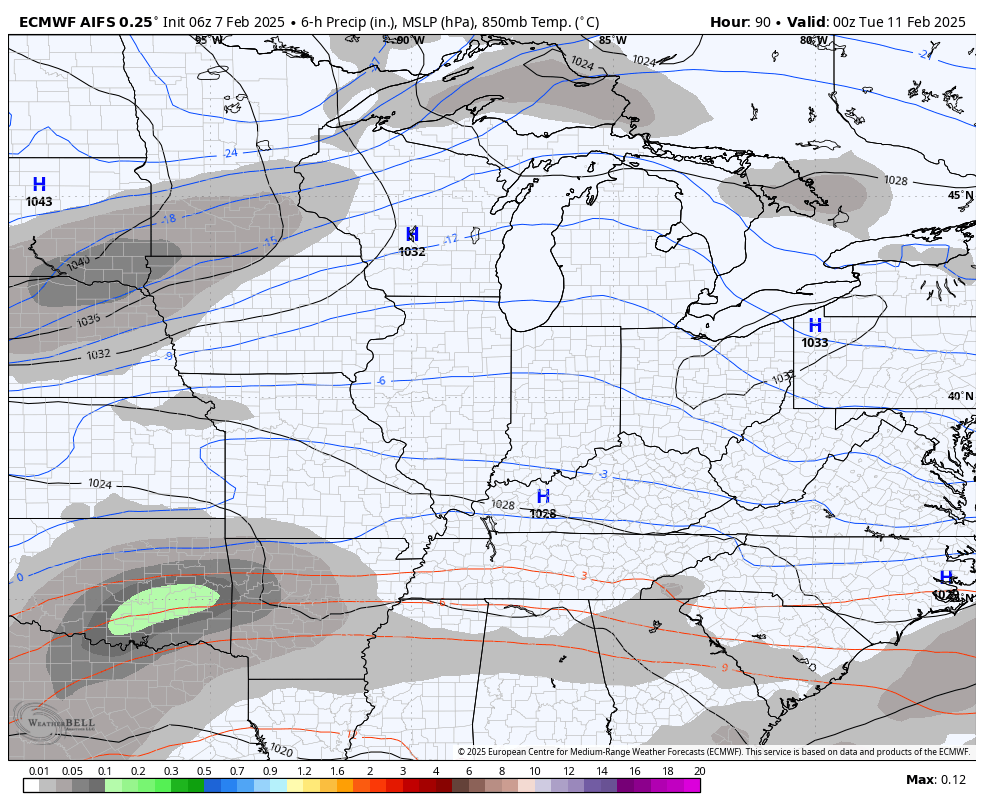
The EURO AI doesn’t show precipitation types, but it actually has a colder overall look compared to the above models…
We will likely go into WST mode later tonight for the first system targeting the state Monday night and Tuesday.
I’ll update all this on WKYT-TV starting at 4pm then again here on KWC this evening.
Enjoy today’s calm and take care.
