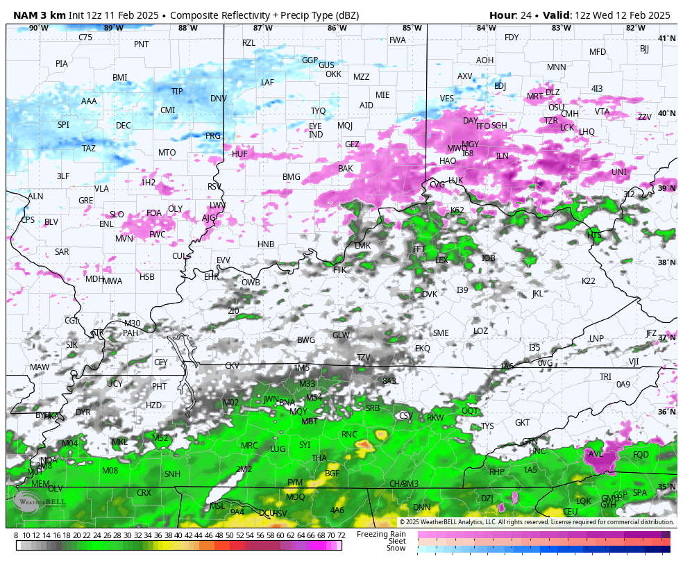
Good afternoon everyone. Our winter storm continues to press across the region, dropping a healthy swath of several inches of heavy, wet snow. While the snow will increase across the northern half of the state, the rest of the state focuses on heavy rain.
As of this writing, the highest snow totals are between 7″ and 8″ for areas just south and east of Lexington. The snow builds farther north and northeast of Interstate 64 this afternoon and that’s where several inches of snow fall.
Heavy rain across the south and southeast will lead to flooding issues. Here’s a look at the current watches, warnings and advisories…
Some light freezing rain or freezing drizzle will be noted later tonight across the northern half of the state ahead of the next system. This brings an increase in temps and rain for Wednesday with heavy rain showing up during the afternoon and evening hours across central and eastern Kentucky. Here’s the future radar from the Hi Res NAM showing all this from 7am Wednesday to 7am Thursday…
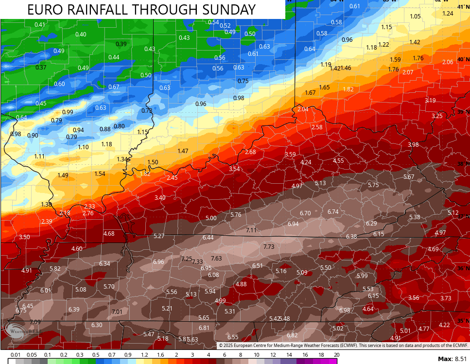
The next system moving in here this weekend is the strongest of the week. It looks to bring heavy rain, gusty winds and a few thunderstorms on Saturday with snow and cold behind it Saturday night and Sunday.
Here’s the EURO…

Rainfall totals through this weekend are super concerning…
The GFS is similar with our weekend system…
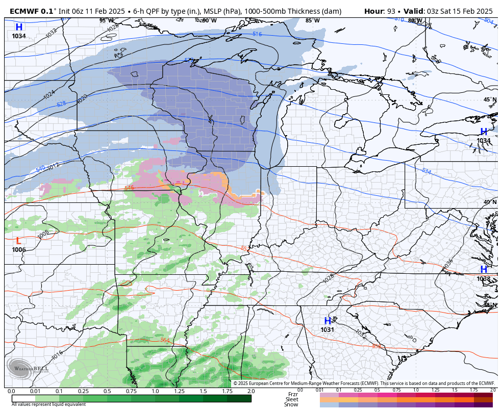
Another big winter storm system looks to impact us by the middle of next week.
I have your tracking tools including our Kentucky Weather Cams to watch the wild weather across entire region…

Have a great rest of the day and take care.
