Good afternoon, everyone. The focus of the forecast continues to be on the major storm system blowing in here for the weekend. This may bring widespread flooding, strong storms, high winds and some snow behind it.
The NWS offices are getting ahead of this setup by issuing a Flood Watch for the weekend. This is for all but far northern Kentucky…

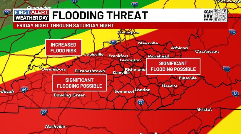
I continue to highlight the same areas for significant flooding issues…
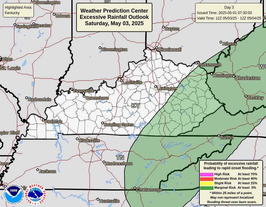
The Weather Prediction Center continues with the Moderate Risk for excessive rainfall…
A general 1″-4″ of rain will fall across the state with the potential for 5″+ rains to show up. That’s especially true for areas where repeat storms set up for a time.
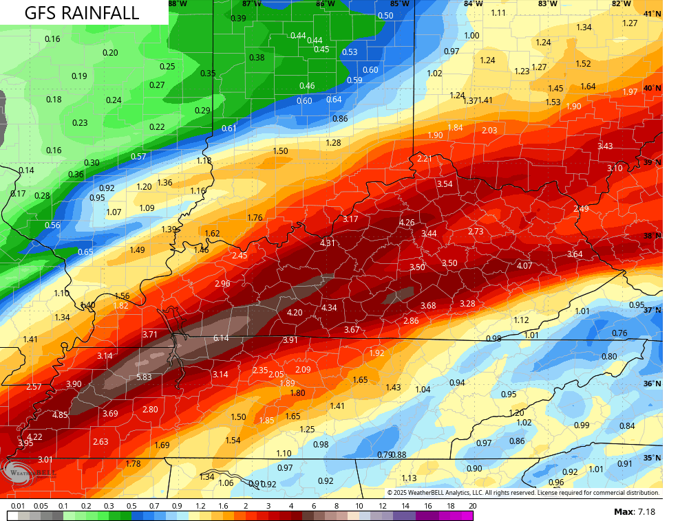
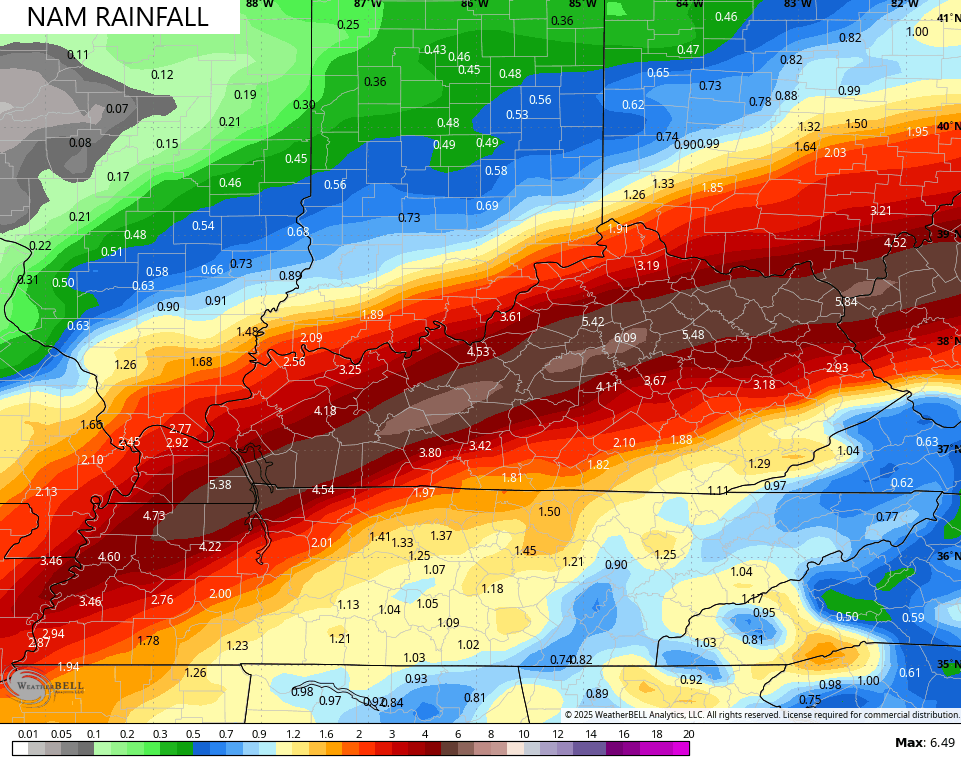
The forecast models continue to indicate this potential, but differ on where that may be…
The Storm Prediction Center also has the Marginal Risk for a few severe storms…

Light snow and snow showers take control on Sunday as frigid temps surge in from the northwest. This cold air lays the groundwork for another storm system to bring snow in here by the middle of next week…
I’ll have updates later today and on WKYT-TV starting at 4pm. Until then, here are your Kentucky Weather Radars…

Have a great afternoon and take care.

I do not like how the NAM has gone BAM with the rainfall for Wayne County, WV. Just like everywhere else, everything is still high, and that much rain could mean nightmarish situations for some folks.
Right? That is a SHOCKING amount of rain for this area, especially for this time of year!