Good evening, everyone. High winds have already peaked at 4omph+ in several areas and those winds will continue to increase tonight as a few strong storms rumble through. Old Man Winter then takes another punch at us later Wednesday into Wednesday night.
Let’s talk about the Wind Advisory that is out for most of Kentucky. Why on earth is northeastern Kentucky not included in this? The map looks beyond silly…
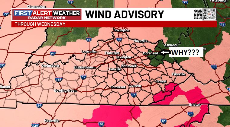
There is no excuse for things like that to happen and it makes for absolutely TERRIBLE messaging to the public. We don’t need these silly mistakes at any point, but especially at this juncture.
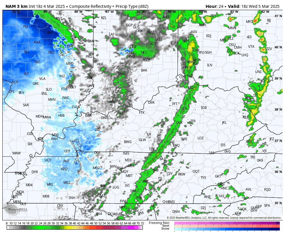
This massive storm system impacting our region has a blizzard on the northwest side of hit and tornadoes on the other side in the south. Here’s a look at the up to the minute Warnings, Watches and Advisories…

Here’s the evening Severe Weather Outlook from the Storm Prediction Center…

Temps crash from west to east on Wednesday with snow squalls and light snow taking over during the late afternoon and evening. That continues through Wednesday night and Thursday morning…
Coatings to 1″ will be a good bet for much of the state with locally higher amounts in the southeast…
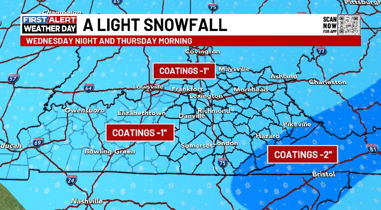
Much of that will be on the grass and elevated surfaces. With temps going below freezing Wednesday night, watch for some slick spots on area roads.
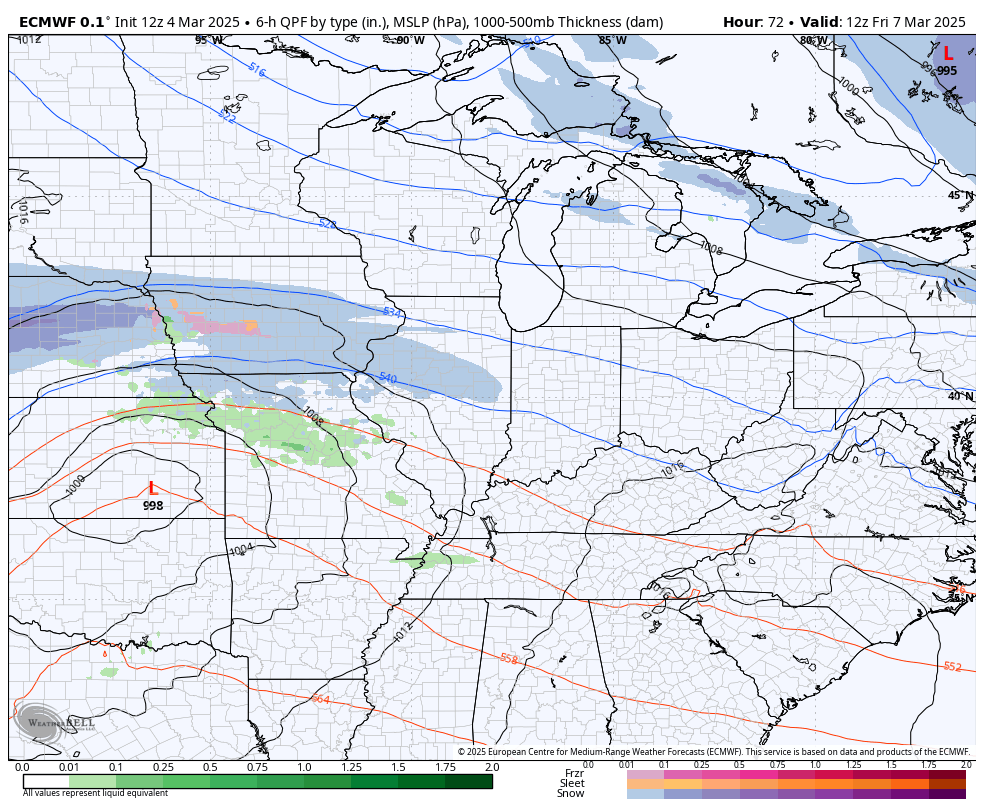
The setup for the system this weekend continues to look like the EURO wins the battle…
I’ll have a full update later tonight. I have you guys are all set to track this evening’s active weather…

Current watches

Possible Watch Areas

Have a great rest of your day and take care.
