Good evening, everyone. It’s all eyes on the weekend and a much milder pattern sweeping in once into next week. That’s when a serious surge of spring temps move in before the pattern takes a walk on the busy side.
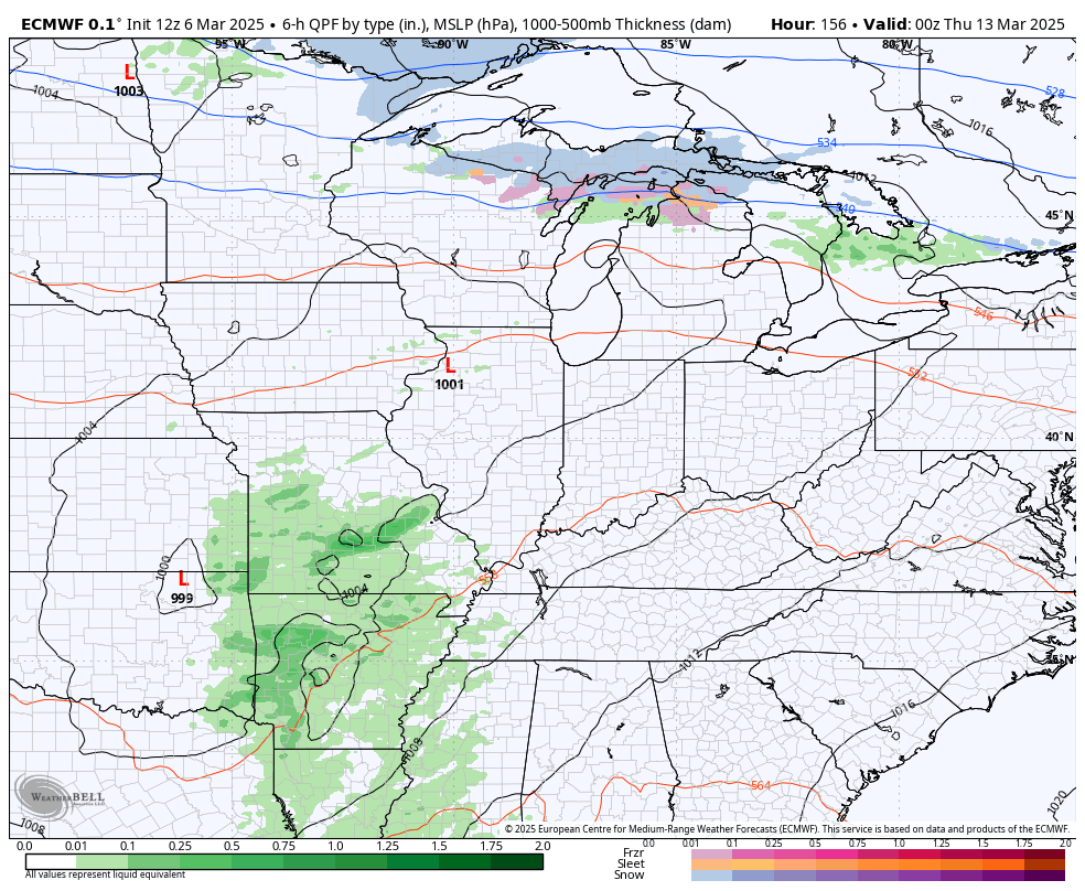
Milder winds push in on Friday and there’s a small chance the leading edge of this produces a narrow band of rain and snow showers Friday morning. Temps hit the 50s during the afternoon and evening ahead of another system dropping in from the northwest with a few showers that may end as a bit of a mix Saturday morning…

Temps are in the 40s for Saturday before rebounding into the 50s Sunday. Even though the Sunday system should stay well to our south, there’s a small chance for a shower in southern Kentucky.
Temps hit the 60s Monday then make a run at 70 Tuesday and Wednesday.
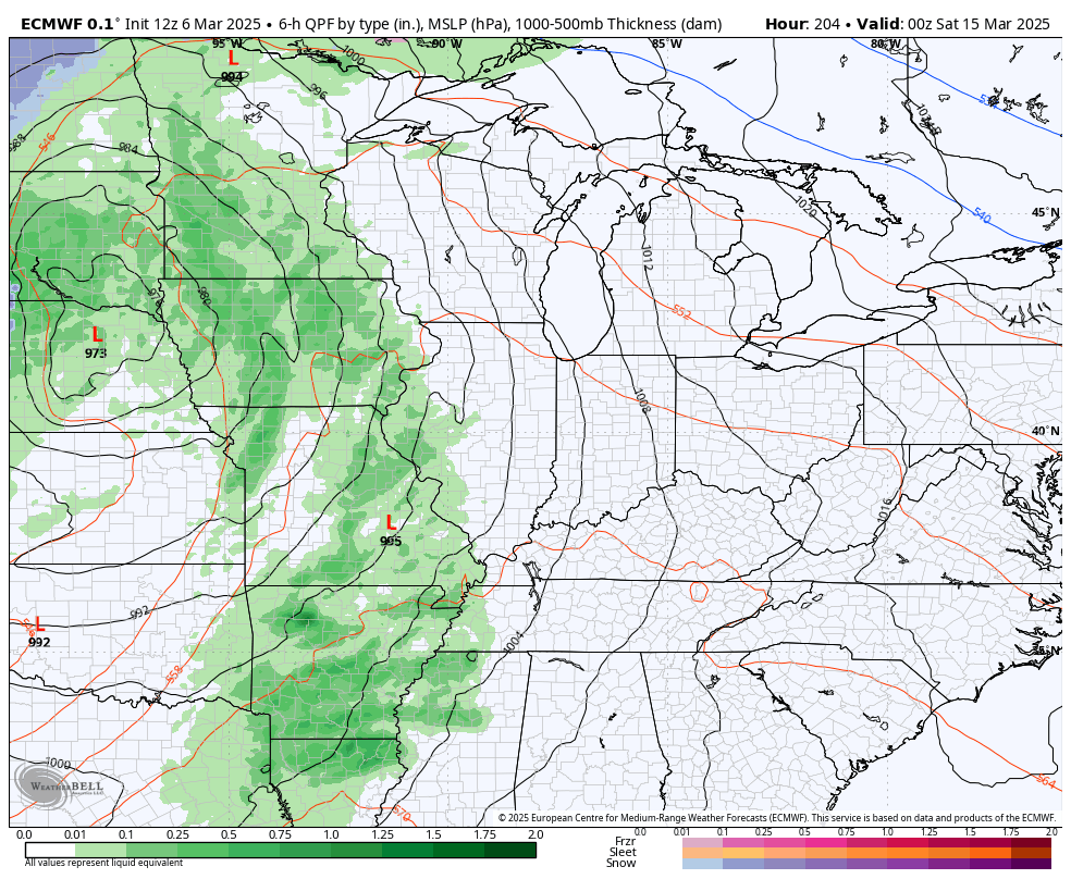
A storm system rolls in with scattered showers and a few storms Thursday…
This is ahead of a much more active pattern that will feature stronger storm systems rolling in…
Enjoy the rest of your evening and take care.
