Good Friday, everyone. It’s another windy day here in Kentucky but that’s expected this time of year. We do have a weak system dropping in here this evening and tonight before we focus on a surge of Spring Fever into next week.
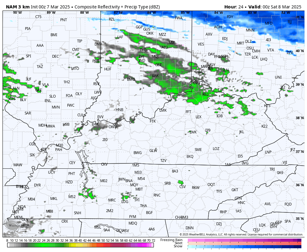
There’s a small chance for a quick-hitting shower of rain or snow passing through the region as winds flip around to the west and southwest. That’s a milder wind pushing temps into the 50s just ahead of another system dropping in here from the northwest tonight. This brings a few showers along for the ride into Saturday morning…
Highs Saturday are in the 40s with the numbers climbing back into the 50s for Sunday. As the old saying goes… You ain’t seen nothing yet! Temps hit the 60s on Monday then make a run at 70 by Tuesday and Wednesday.
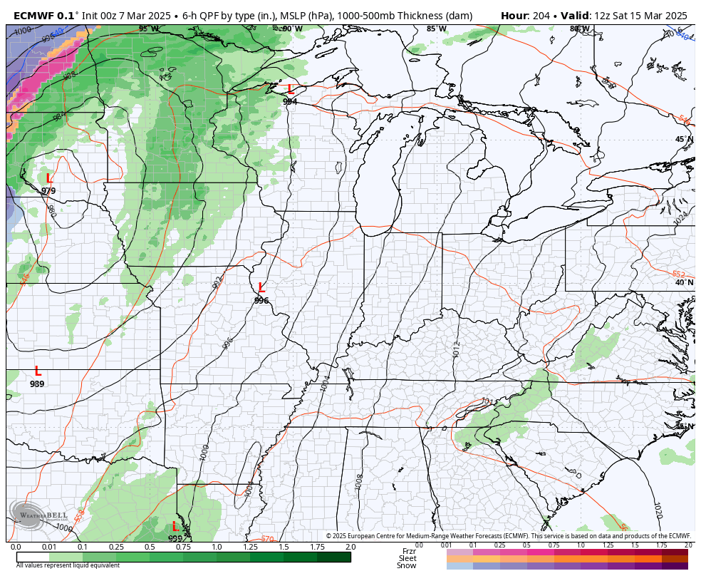
Scattered showers and storms will be around on Thursday with much stronger systems set to arrive late next week into the following weekend and beyond. Watch these big storm systems showing up on the EURO…
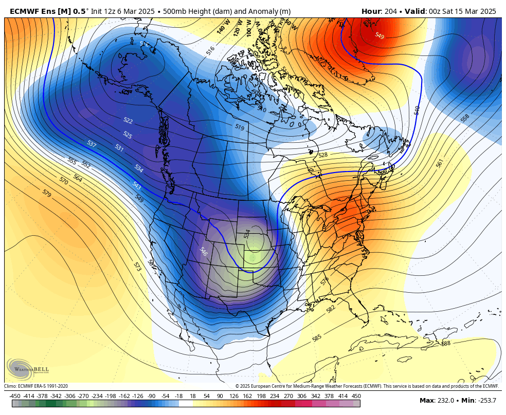
The EURO Ensembles continue to indicate some deep troughs sweeping across the country and that means very stormy conditions with temps that bounce up and down…
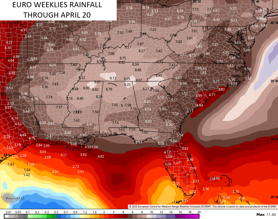
This starts another very active pattern that will likely feature more big wind events and increasing amounts of severe storms. The EURO Weeklies target the lower Ohio Valley into the Tennessee Valley with most of the action…
Have a fantastic Friday and take care.
