Good Monday, everyone. It’s the warmest stretch of weather since last fall and it’s giving us a taste of April weather here in the middle of March. This big surge in temps will eventually get us into some trouble this weekend as another disruptive storm system moves in.
Temps today hit the 60s with 70 or better waiting on us from Tuesday through the start of the upcoming weekend. This gives us a serious case of Spring Fever and there’s only one known cure for it…

There’s a small chance for a few showers and storms on Thursday, but the main system arrives late Friday and Saturday. That’s when another major storm system rolls from the Plains toward the Great Lakes. That drags a cold front in here as another low develops along it right on top of us. The end result is the potential for severe storms, high winds and flooding rains.
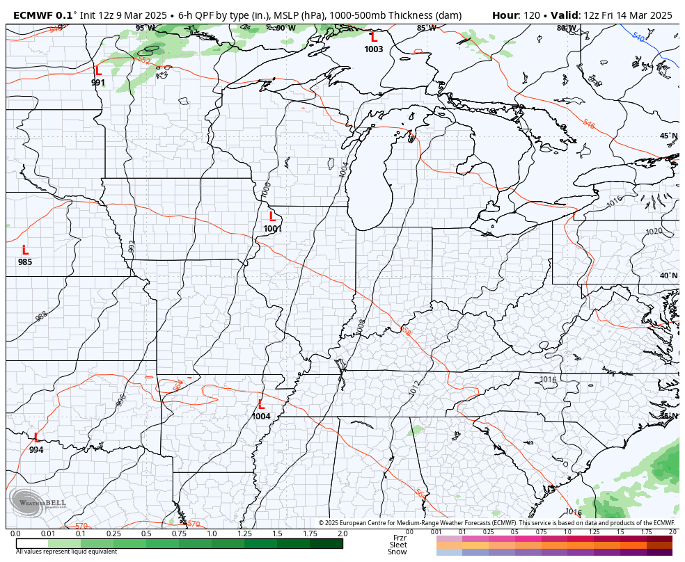
Here’s the EURO with the evolution of our storm…
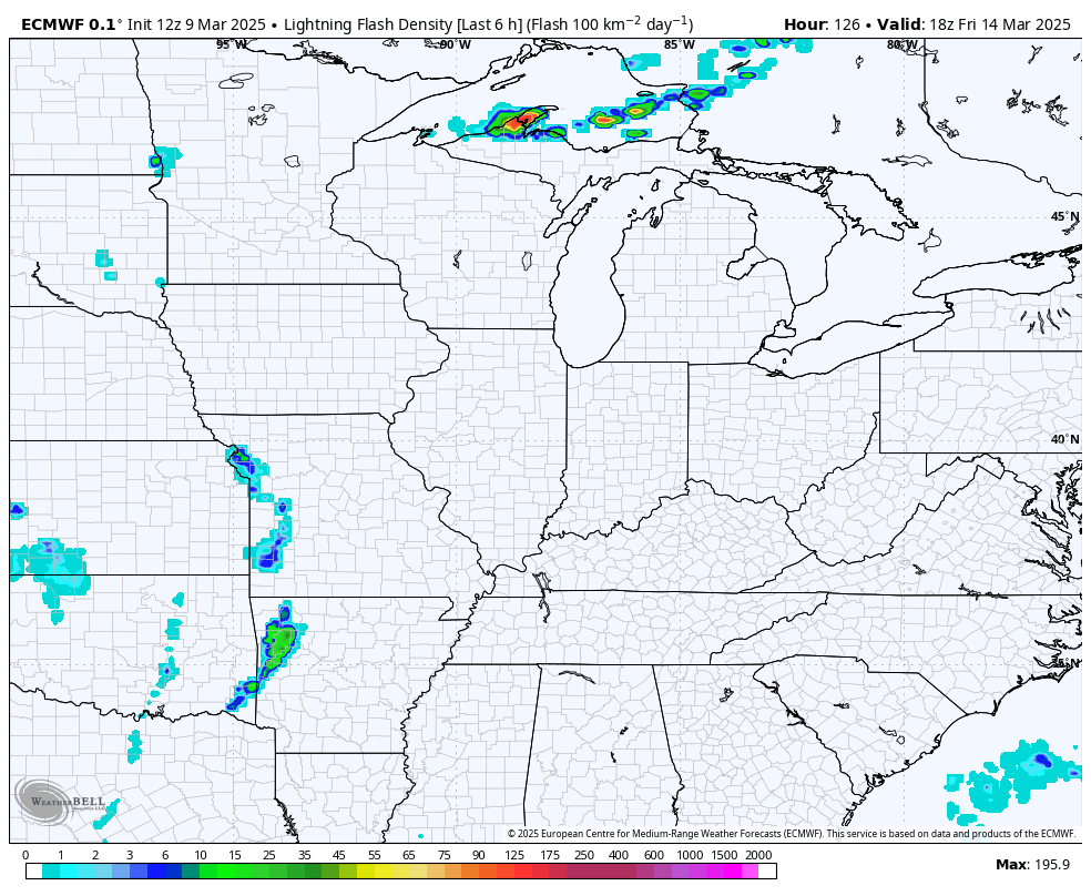
Check out all the lightning from that same run…
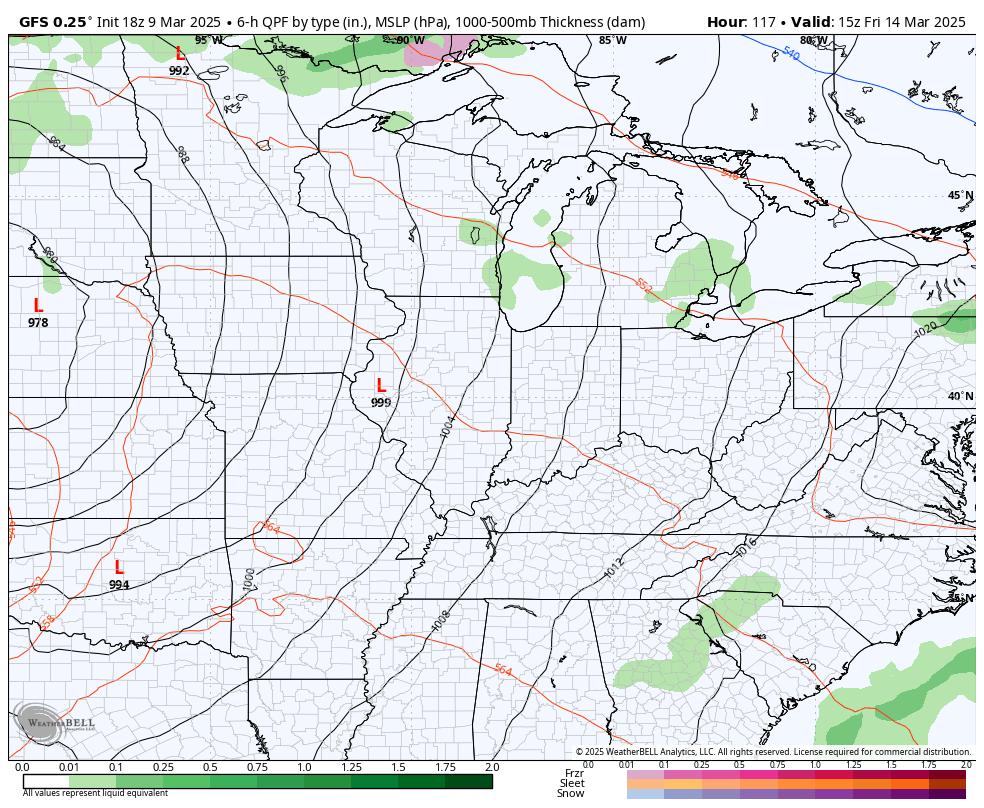
The GFS is a little stronger and farther west with the low developing along the front on Saturday…
In terms of the severe storms threat, we are still a few days away from this system being within the traditional 3 day Severe Weather Outlook from the Storm Prediction Center. Here’s the general severe threat from the SPC for Friday…

And for Saturday…

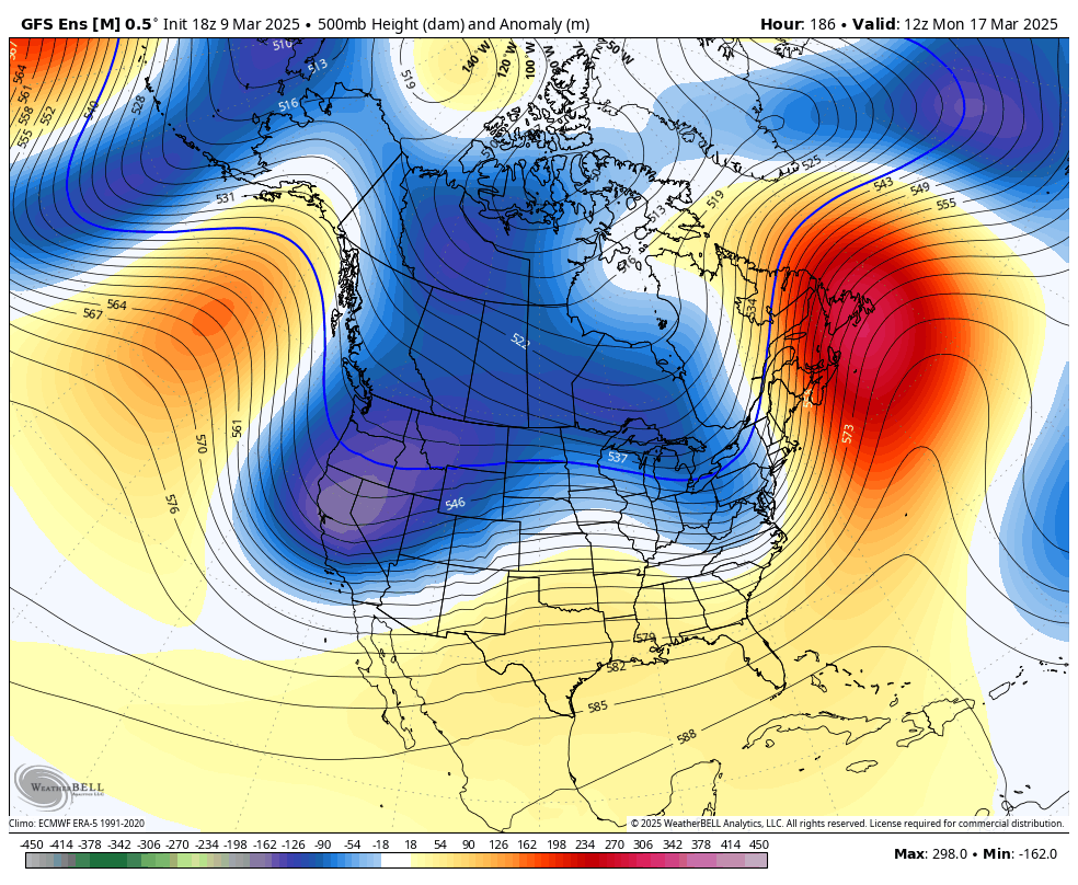
Additional big storm systems are likely to follow that up into the following week as deep troughs sweep in from the west. This sets the stage for a lot of back and forth in the temperature department with additional severe threats and, perhaps, a winter threat…
Have a magnificent Monday and take care.
