Good Thursday, everyone. We have cold winds blowing across the Commonwealth on this first day of spring and its bringing along a taste of winter. Some snowflakes are flying across the region, giving us some ugly stuff.
Temps today hit the upper 30s to low 40s for many areas with rain and snow showers showing up with the best coverage in central and eastern Kentucky. Here are your first day of winter… Errr… Spring Kentucky Weather Radars…
Winds make today feel much, much colder with the chance for a little sunshine to show up.
Friday is even better with temps reaching the mid and upper 50s with a mix of sun and clouds. Winds will be a bit gusty and that takes us into Saturday as a small shower chance shows up. Temps are once again mainly in the 50s.
The next system then rolls in with rain increasing from west to east Sunday. That will then be followed by another shot of below normal temps and the chance for a rain or snow shower by later Tuesday and Wednesday…
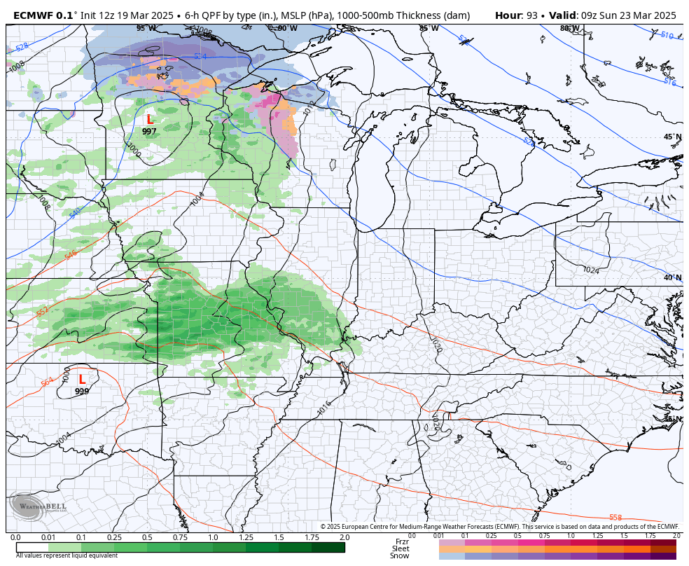
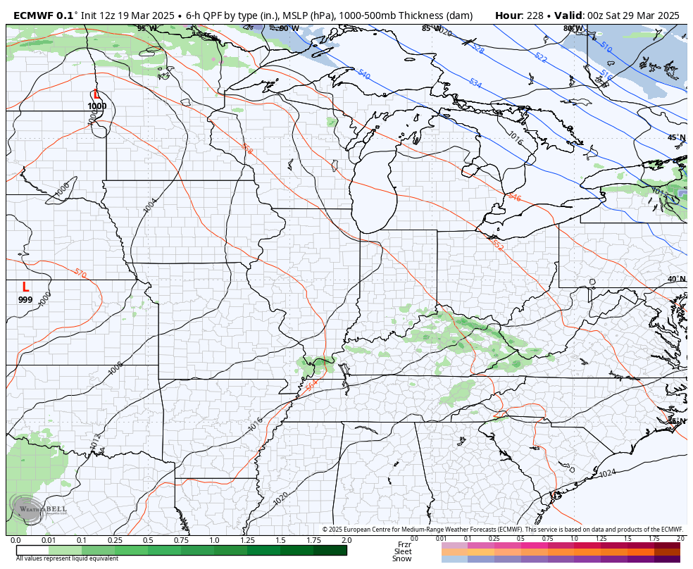
Temps may actually spike by next weekend as another storm system develops in the Plains to close March with that rumbling in to start April. Here’s a look at the EURO with that evolution…
The EURO Ensembles are trying very hard to get some ridging in here right after that. You can see how those big troughs sweeping east across the country start to slow down toward the end of the Ensembles…
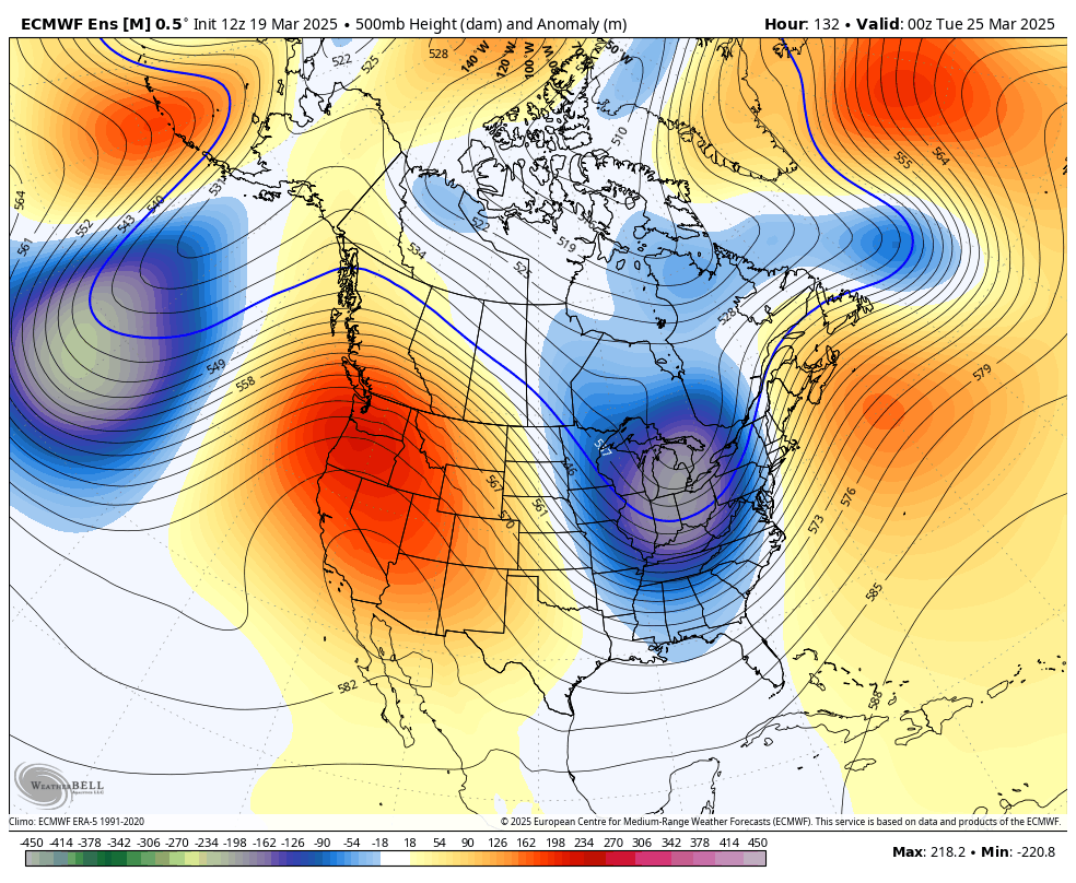
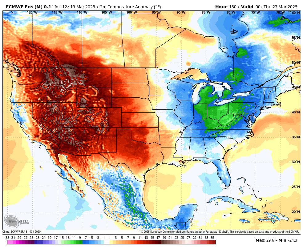
That deep trough developing across western Canada into Alaska should mean milder temps come in here for early April. Until then, the Euro Ensembles show those cold shots sweeping east…
Have a terrific Thursday and take care.

I’m not impressed.
I just wish we would have a very Tame Spring and Summer, followed by a Colorful Autumn. Will that happen ? Most likely NO !
Can Anyone tell me what tree is that blooming white flowers now. I notice it blooming on the weathercams ? I hope it’s not a Bradford pear ?
Bradford Pear it is.
Thanks Jeff.