Good Friday to one and all. It’s much better weather day taking shape across Kentucky as temps try to get closer to normal. The “try” part is going to be the issue in the coming days as the pattern runs cooler than normal as things turn more active by Sunday.
In the short-term, temps out there today are generally in the 50s with a mix of sun and clouds. Winds will still be a bit gusty ahead of a light shower maker arriving for Saturday. These showers are few and far between with temps again in the 50s.
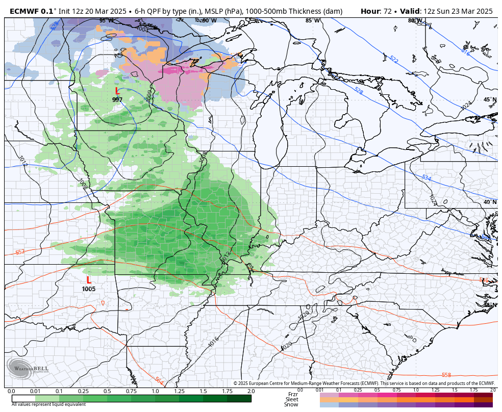
Sunday fins a storm system rumbling in from the west, but this is taking a farther south track than its predecessors. This brings rain across the state from west to east with the chance for some thunderstorms across the southern half of the state. As a matter of fact, there’s the chance for a few strong or severe storms in our southern counties.
Here’s the Sunday Severe Weather Outlook from the Storm Prediction Center…

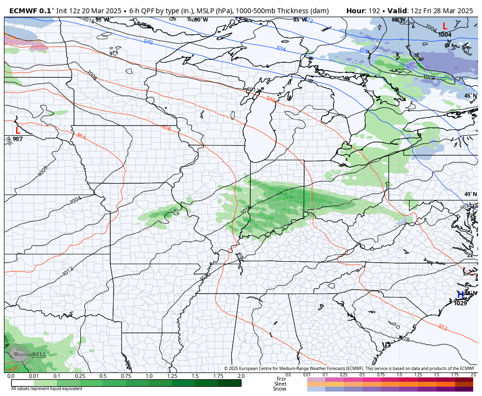
This system will be followed by seasonably chilly air for Monday with a clipper-looking system dropping in from the northwest on Tuesday and Wednesday. That brings some chilly showers and the outside chance for a few snowflakes.
Here’s the EURO showing our Sunday system and the chilly system behind it…
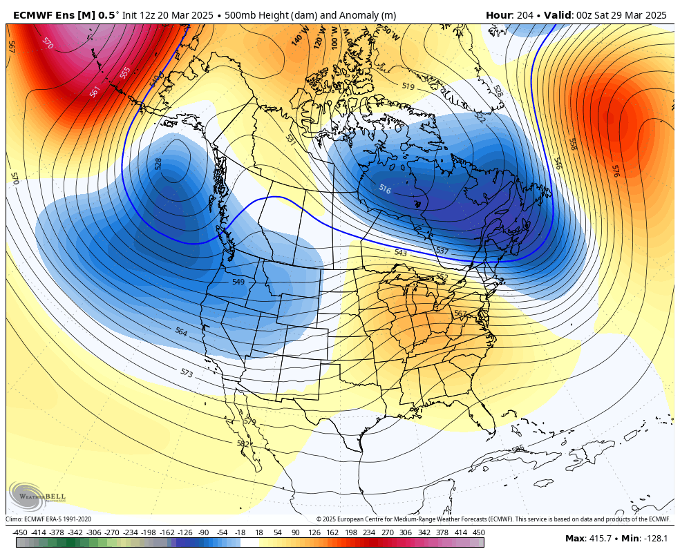
Temps rebound behind that as we get a little more of a spring look showing up to end the month and kick off April. That will be met by the potential for strong and severe storms…
The EURO Ensembles continue to show more ridging during this same time as a deep trough gets established along the west coast of North America and into Alaska…
80 degree temps may show up around here during the first week of April, just in time for Spring Break for many of our school districts.
Have a fantastic Friday and take care.

Thanks for the update Chris. Enjoy the Day Everyone !