Good Saturday to one and all. It’s another very windy day across Kentucky as a weak system passes to our north. This is ahead of a more potent system arriving Sunday and that one kicks off another fairly active overall setup.
Temps today are back in the 50s with winds gusting to 35mph at times. There’s a small shower chance, but most of the area stays dry.
Showers and a few thunderstorms then increase from west to east Sunday as low pressure develops and rolls through the region. That brings another shot of northwest, chilly winds behind it for Monday…
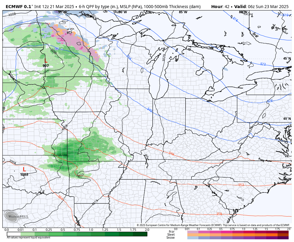
Most of the dynamics for severe storms are to our south, but some of this may sneak into southern Kentucky and that’s where the Storm Prediction Center continues with a low-end severe storms risk…

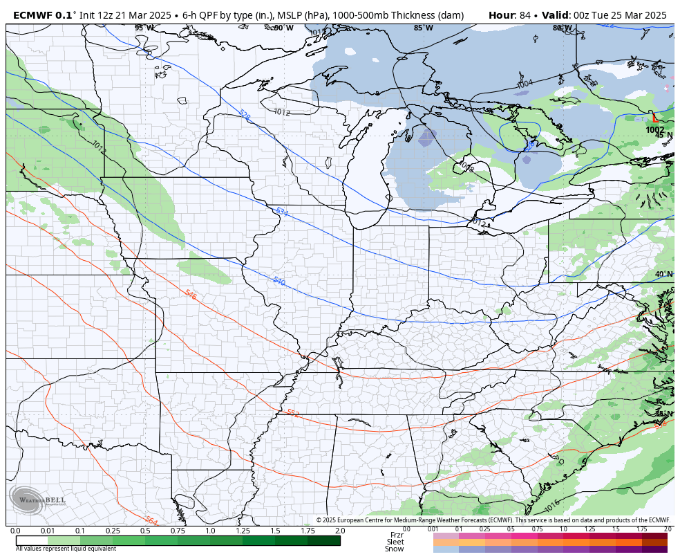
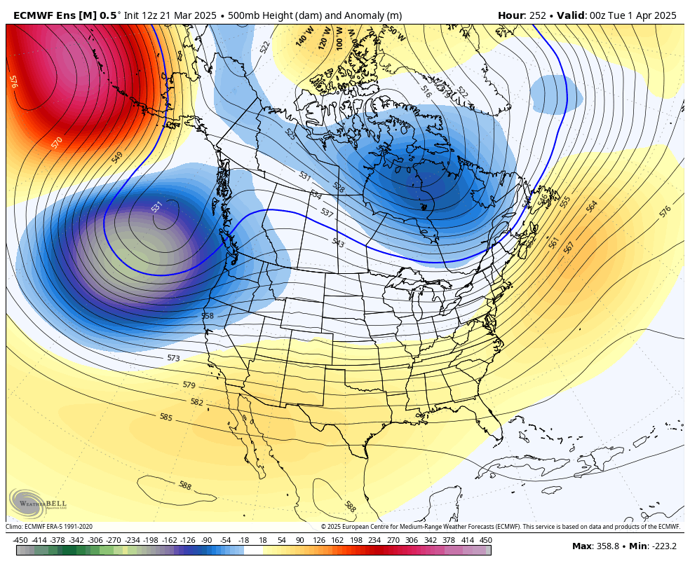
Chilly winds will then be the rule through the middle of the week as a series of clipper-looking systems drop in from the northwest. These bring chilly showers through here with the outside chance for a few flakes to fly.
Here’s the EURO from Tuesday through Thursday…
That system scoots away pretty quickly as a more typical late March look and feel kicks in. This throws several storm systems our way through the beginning of April…
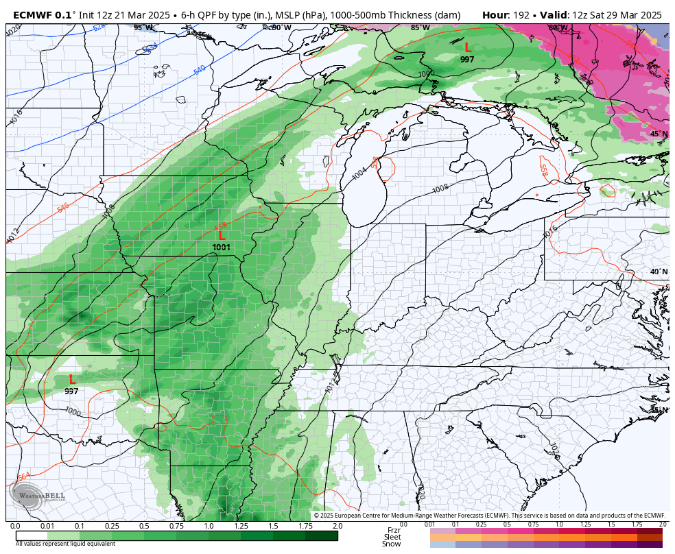
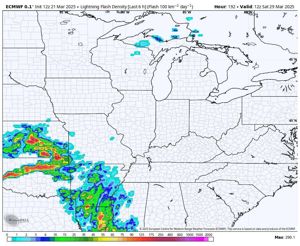
That has a strong to severe storms look to it and is something for us to watch going forward. You can see the possibilities with the increase in lightning coming from the EURO during this same time period…
This is part of a pattern that starts to skew temps warmer than normal for early April. Watch the ridging going up across the east during the first 5 days of the month…
Have a sensational Saturday and take care.
