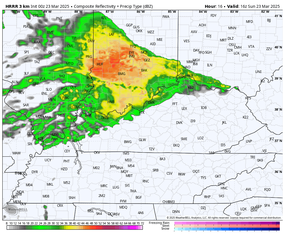
Good Sunday, everyone. A storm system is working through the region today, bringing showers and thunderstorms to most of the area. This also brings the potential for a few strong to severe storms across parts of Kentucky.
The greatest severe threat is across the southern half of the state and that’s where the Storm Prediction Center has the low-end risk for severe weather today…

That threat comes from a line of storms developing this afternoon and evening. It will be preceded by gusty showers and a rumble of thunder through the early afternoon hours. You can see that action and the line of storms cranking behind it and working from northwest to southeast across the state late today…
Here’s a look at the individual severe weather threats from the SPC…


Damaging wind is, as usual, the primary threat of the day.
Monday is a windy day ahead of a weaker dropping in from the northwest Tuesday into Wednesday. This looks like a clipper and brings another shot of below normal temps…
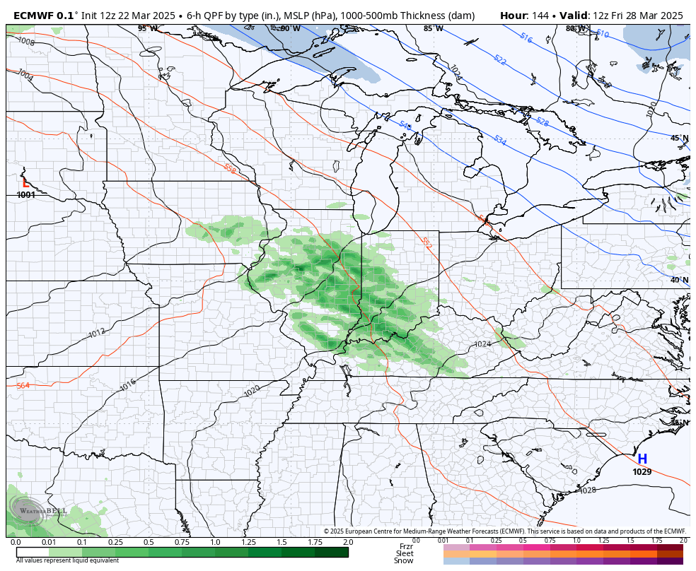
Temps rebound quickly by the end of the week as a warm front sweeps through here. That may have a band of showers and storms along and ahead of it with a much better chance for strong storms next week.
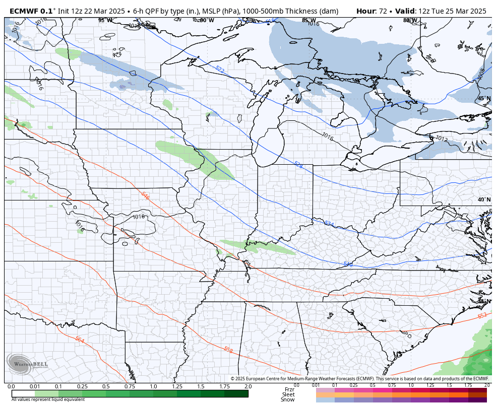
That’s the first in a series of possible strong to severe storms makers to end the month and start April. Here’s the EURO from March 18th through April 6th…
Some pretty big temp swings show up with those first few systems with a serious surge of warmer than normal showing up at the end of that run…
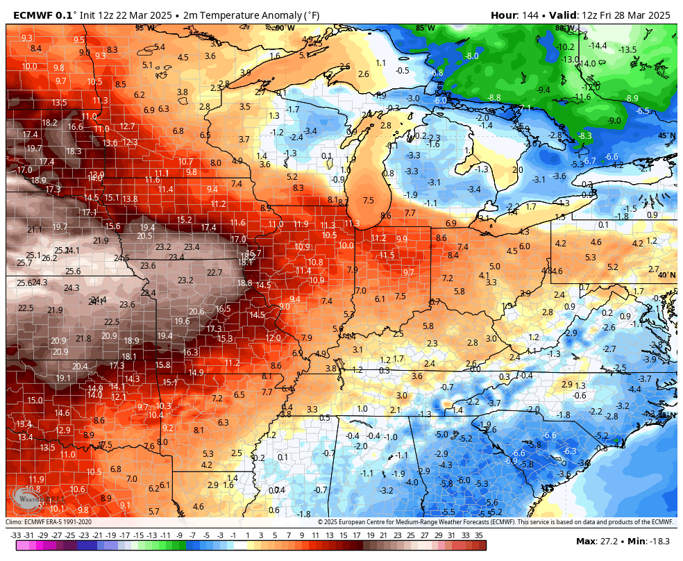
That warmer than normal look is something the EURO Ensembles have been signaling for a while and they continue to have the warm look…
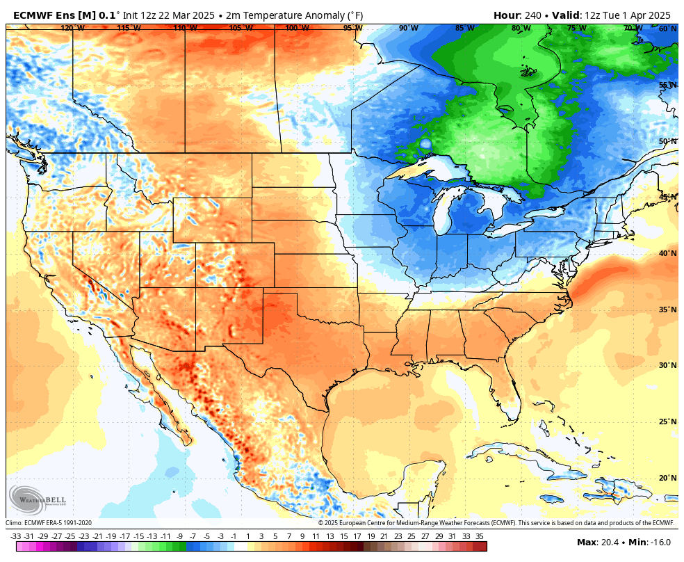
Temps in the 80s are very possible in the first 10 days or so of the month! Let’s spring this thing up, folks!!!!
I may swing by for another update later today. Until then, I leave you with your Sunday storm tracking tools…


Current watches

Possible Watch Areas

Make it a great day and take care.
