Good Monday, everyone. Major flooding continues across much of Kentucky as our historic rain event comes to an end. In true extreme weather fashion, we are going from tornadoes and major flooding to a hard freeze.
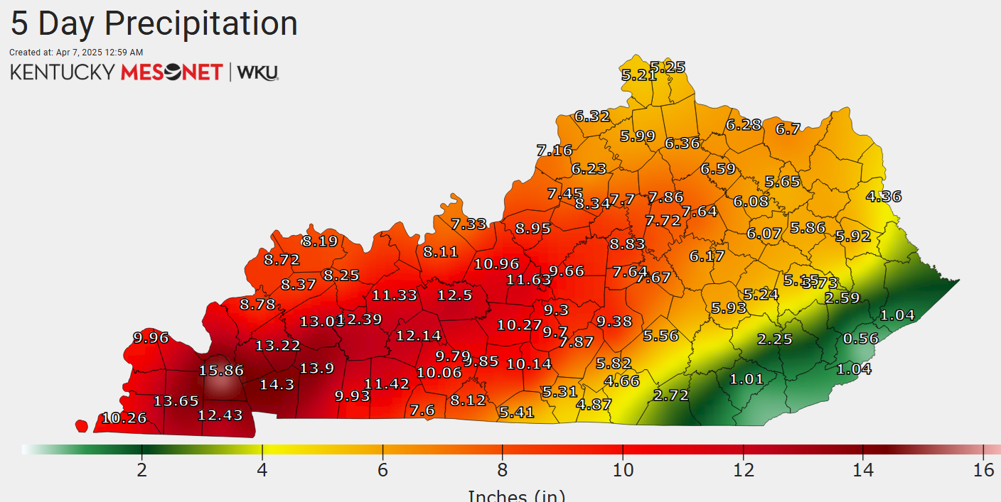
The flooding on many of our rivers, such as the Kentucky River, is historic with all-time record high crests. It’s still going to be several days before the floodwaters go down but that’s to be expected with rainfall totals hitting 1 in 1,000 year event status.
The rainfall totals from Wednesday night through Sunday, unfortunately, hit the extreme ranges we thought they would…
That’s just to see from a non-tropical system.
Flood Warnings and a Hard Freeze Warning overlap in many counties…
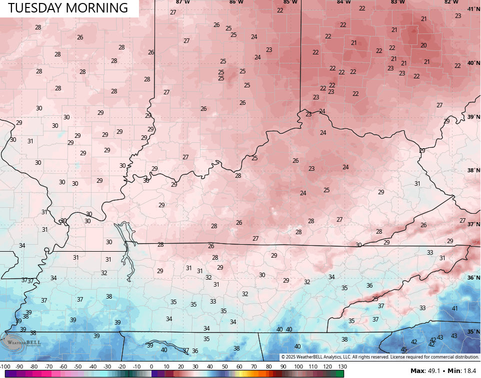
Temps today reach the 50s ahead of another cold front dropping in this evening. That brings some gusty showers along for the ride as an absolutely frigid early April airmass blows in behind it. Temps by Tuesday morning reach the low and middle 20s…
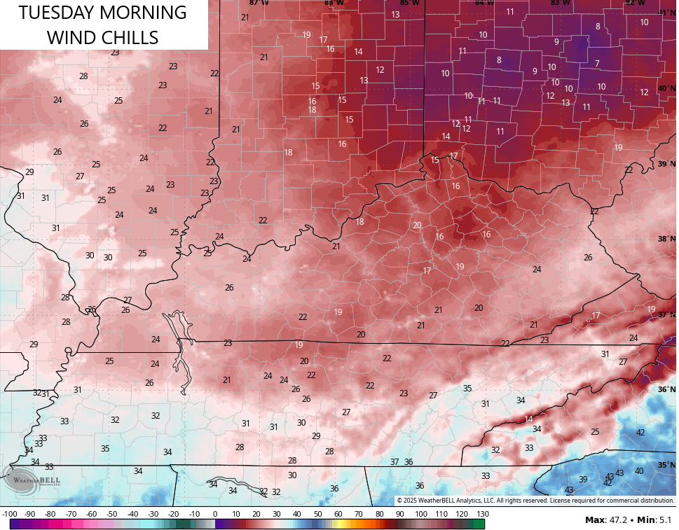
Wind chills hit the teens…
Highs are only in the low to mid 40s for much of the region.
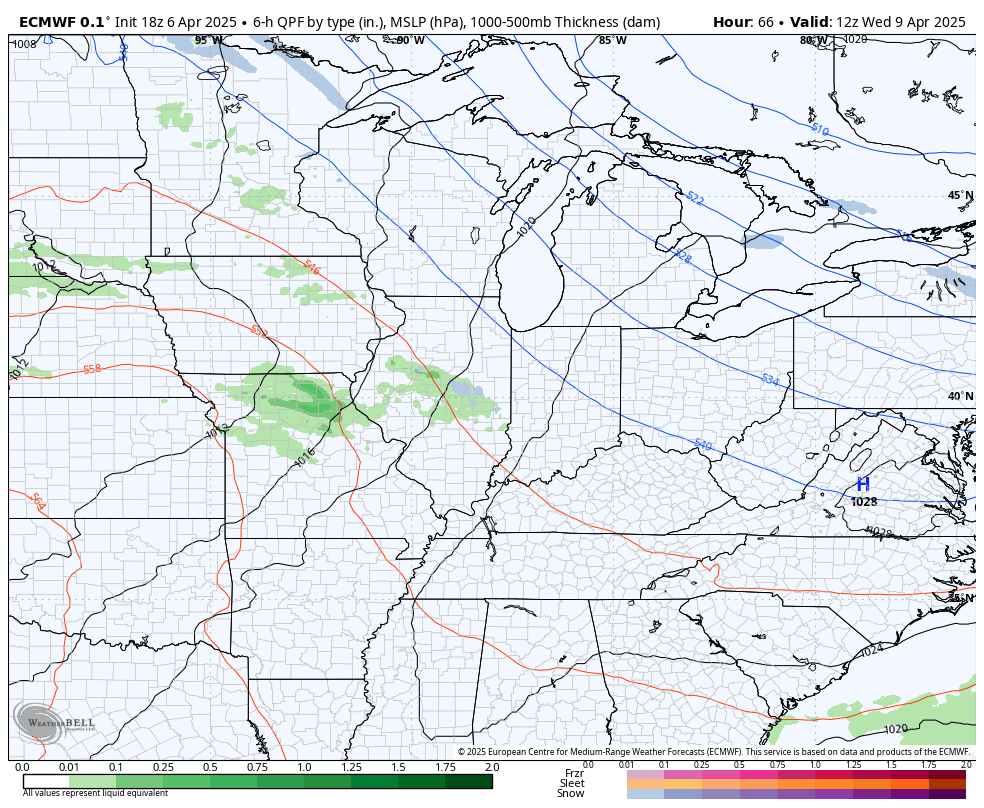
Another cold front rolls in late Wednesday into Thursday with chilly showers that try to linger into the first half of the weekend…
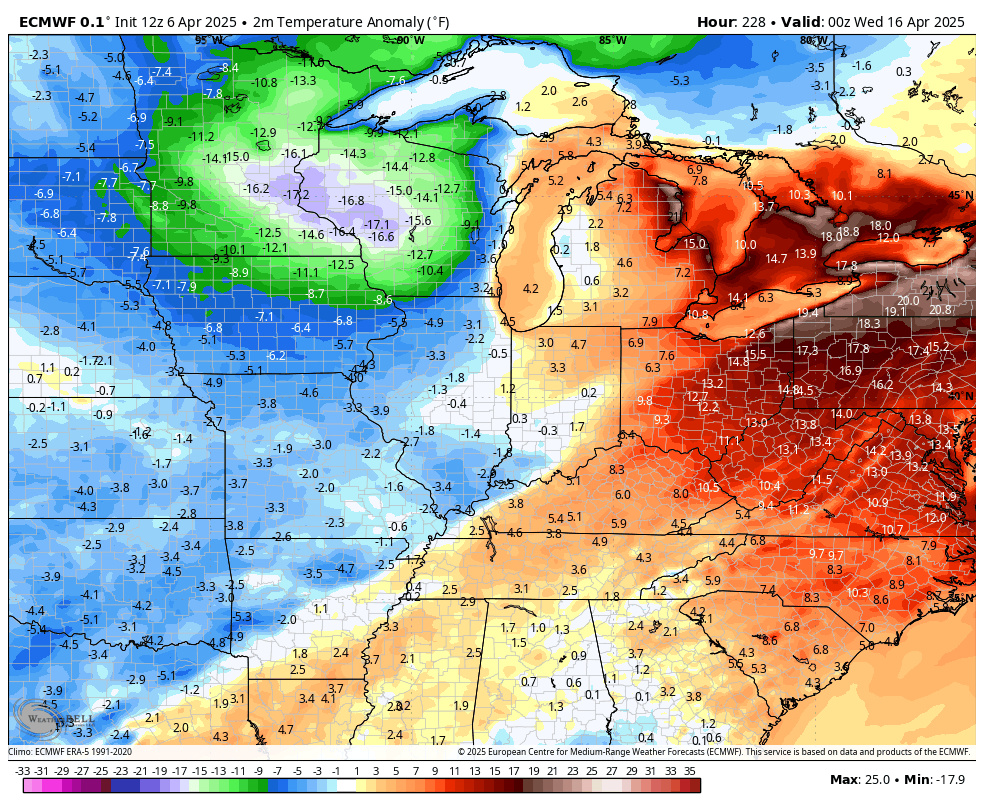
Chilly temps accompany this system as our numbers are well below normal.
Temps should rebound some after that and may jump into the 70s for a few days before another surge of spring chill takes control. The EURO has this starting just after tax day…
Ugh.
The overall theme of the rest of the month into the first half of May should be for temps to average below normal.
I’ll leave you with your Kentucky Weather Radars to track the evening band of showers in from the northwest…

Have a magnificent Monday and take care.

I’m not convinced of the power of the supposed cool spell to come.
Who cares.
Our PWS recorded 3” more rain (10.26”) than the Mesonet numbers on the graphic. We had a ton of water.
I guess the official 5 day total for Lexington will be 8.14 inches at KLEX…