Good Tuesday, everyone. Chilly winds are back in the Bluegrass state today, but it’s bringing more in the way of dry weather. The chill won’t last long as temps surge later this week, just time for the Easter Weekend. Can we keep the storms away? That’s the question.
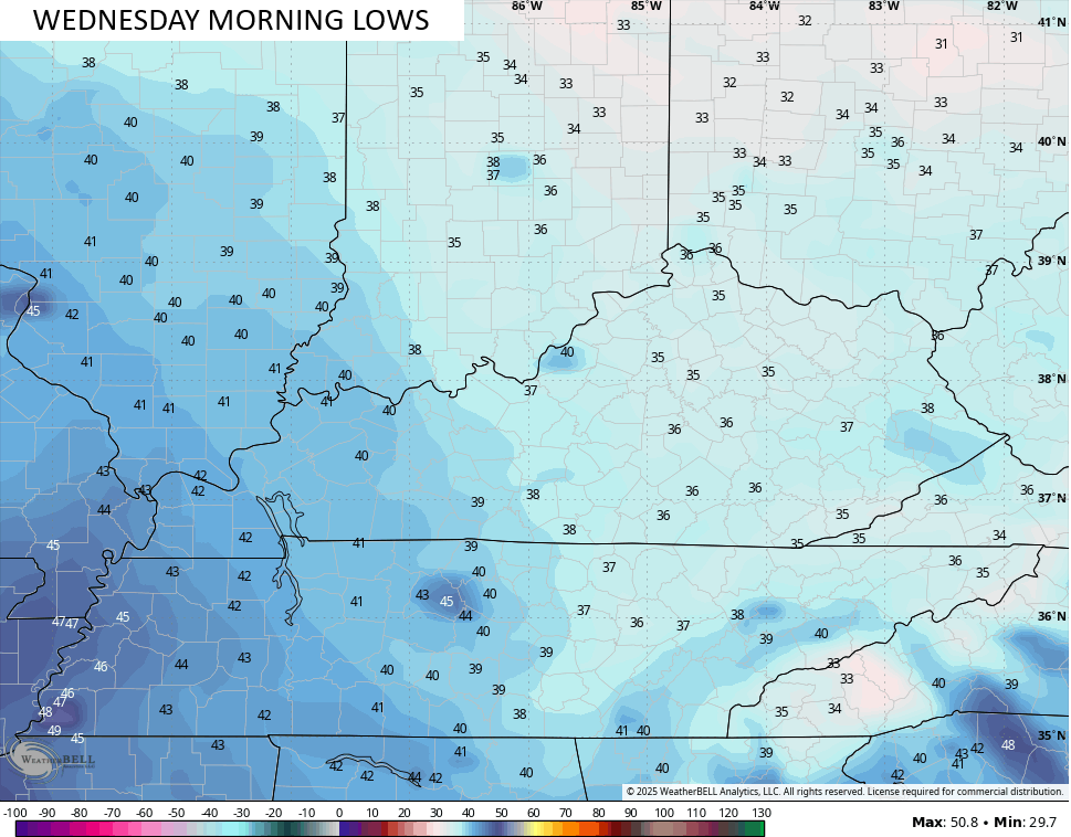
Before we get toward the warmup, we have another frost threat. Temps today hit the 50s with a mix of sun and some clouds, but those clouds depart later tonight. That allows temps for central and eastern Kentucky to reach the low 30s and middle 30s…
Temps by Wednesday afternoon begin to climb with 55-60 in the northeast and low to middle 60s in the west.
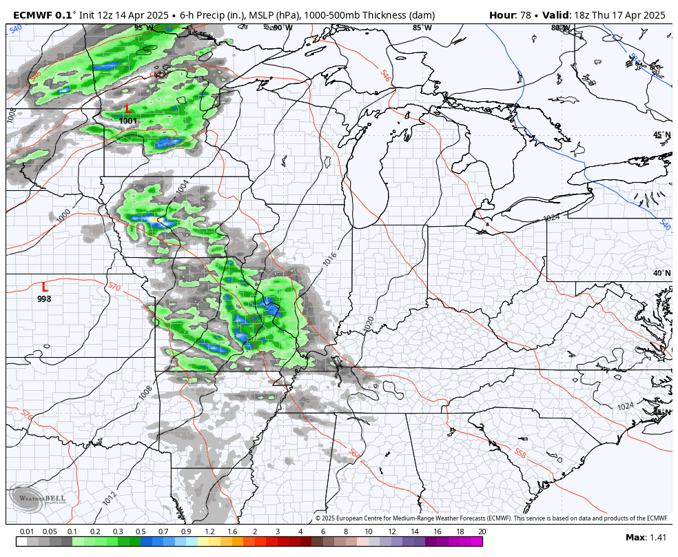
Those numbers keep going up for Thursday with highs hitting the upper 60s to low 70s as a warm front sweeps through. This may spit out an isolated shower or storm in the west, but most stay dry.
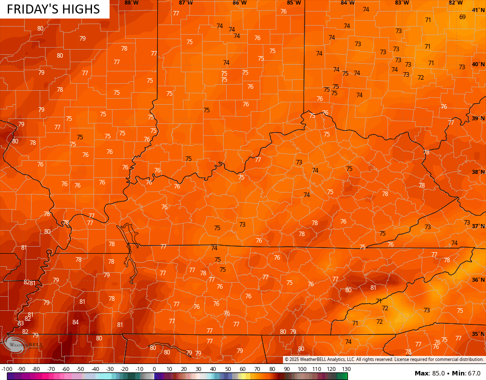
Temps behind this for your Friday shoot deep into the 70s and may hit 80 in some areas…
With scattered showers and storms around on Saturday, temps come down just a bit but stay in the 70s…

That boundary slows down for Easter Sunday, leaving a big north-south temp gradient across our region. Here’s hoping the front stalls to our north because that means some really warm temps for most of the state…

The EURO shows our best threat for storms coming on Saturday then again later Monday…
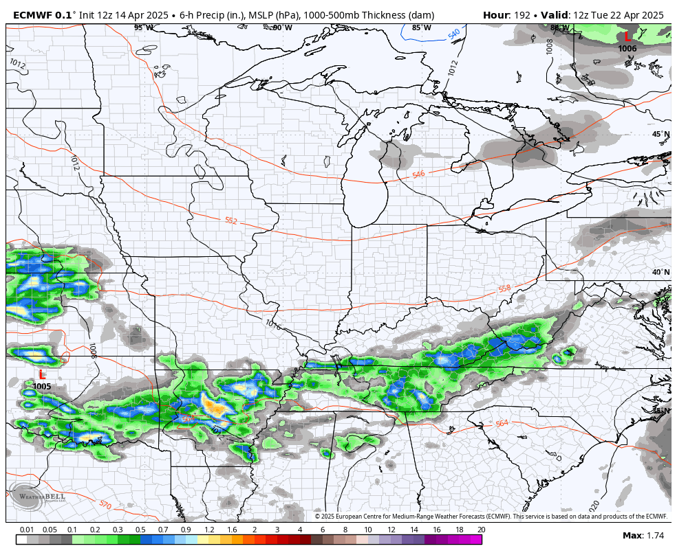
The setup for next week looks pretty warm, but with the return of waves of showers and thunderstorms. Here’s the EURO from Tuesday the 22nd through Monday the 28th…
I leave you guys with your Kentucky Weather radars to track any shower action impacting the north and northeast…

Have a great day and take care.
