Good Good Friday to one and all. We are rolling into this Easter Weekend on a very windy and warm note and we can expect more of the same through the big holiday weekend. The overall pattern is very warm through the end of April as thunderstorm chances start to show back up.
Temps today reach 75-80 for most of Kentucky with the chance for a few low 80s as southerly winds crank. gusts to 40mph will be possible.
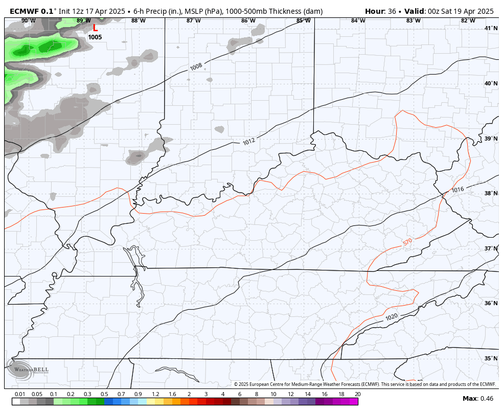
Similar temps will be noted for Saturday into Easter Sunday as a few thunderstorms sneak into the north and west. Those areas have the best chance for Saturday with everyone getting in on a line of showers and storms Sunday night and Monday.
You can see all this very well on the EURO…
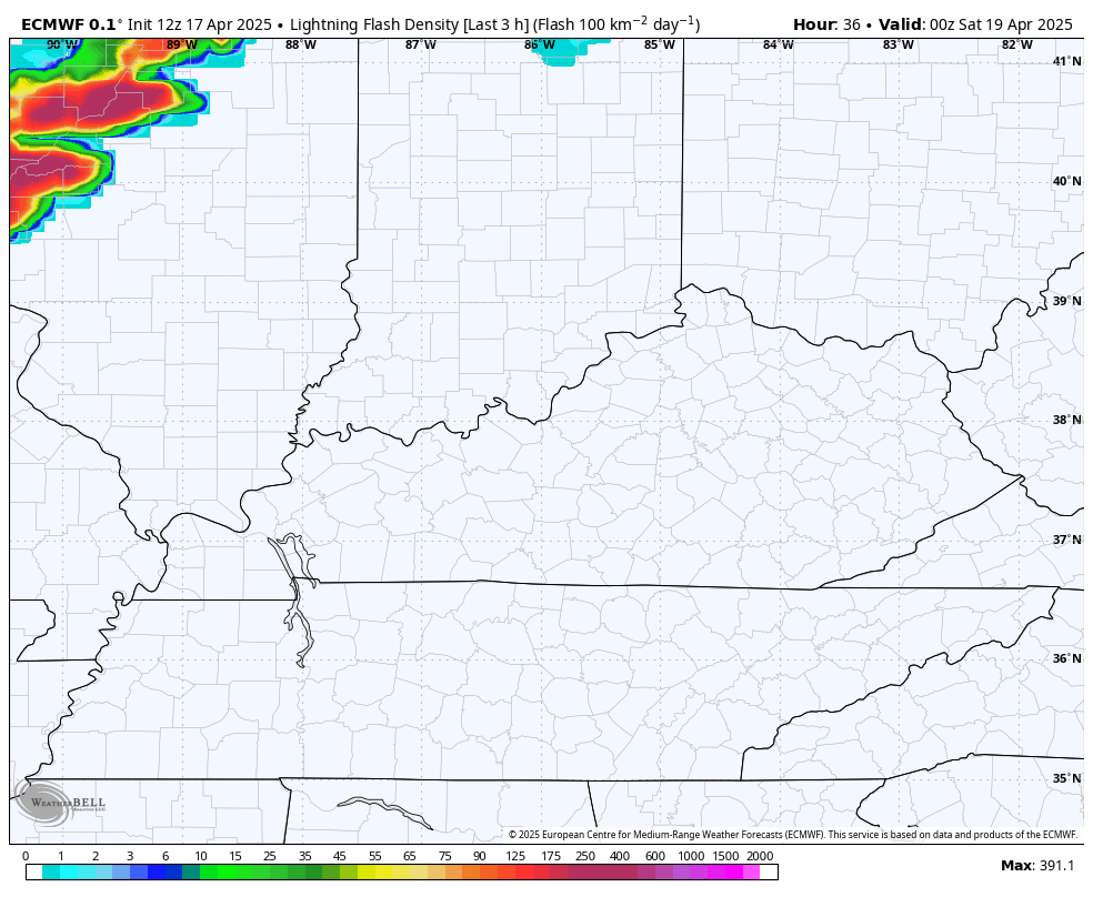
The lightning intensity forecast from that same run of the EURO shows all the action pretty well…
There’s a low-end threat for a few strong to severe storms across the north and west on Saturday…

The Easter Sunday threat hangs out just to our west with the potential for some of that sneaking into western Kentucky by Sunday evening…

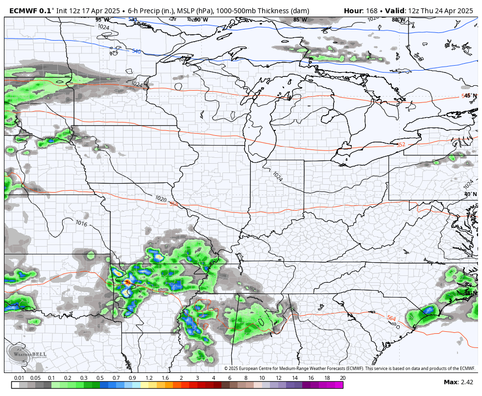
Once the front clears the region late Monday, the pattern remains very warm with an increase in showers and storms for the middle and end of next week. This animation of the EURO starts next Thursday and goes through the first night of May…
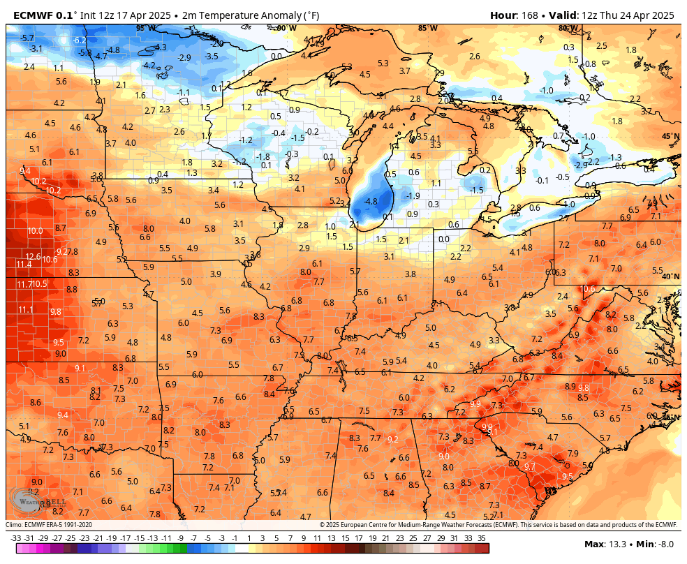
Temps are largely skewed above and, sometimes, well above normal through this period…
Have a great Good Friday and take care.

Warm and dry is what we need, but showers at the end of the week would make it perfect. Please no more frost until October.
#TeamWarmth #TeamSun
YES ! please