Good Monday, everyone. We are coming off of one of the warmest Easter Weekends on record. That nice and warm weather of the weekend is being replaced by a more active pattern taking shape and it’s starting out with a cold front moving through today.
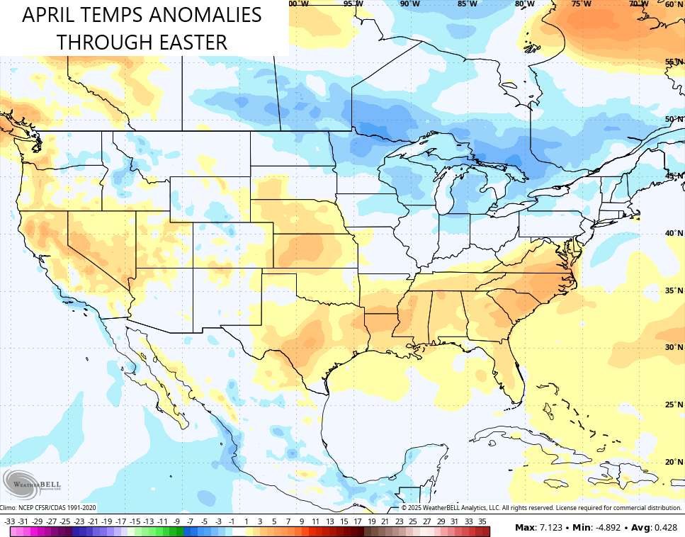
Before we get to the front, the weekend warmth managed to put out region back into the normal category as it wiped out the below normal temps we had seen earlier in the month. The current April temp anomalies look like this across the country…
Temps come way down today as the front sweeps eastward with showers and storms. This comes at us in a broken line that shouldn’t produce any kind of strong or severe storms. I’ll have your radar tracking tools in a bit.
Tuesday is a REALLY nice day with highs 70-75 with lots of sunshine. That nice weather carries us into Wednesday, but that might be the last fully nice one for a spell. Showers and thunderstorms look to return later Thursday and that continues through the weekend.
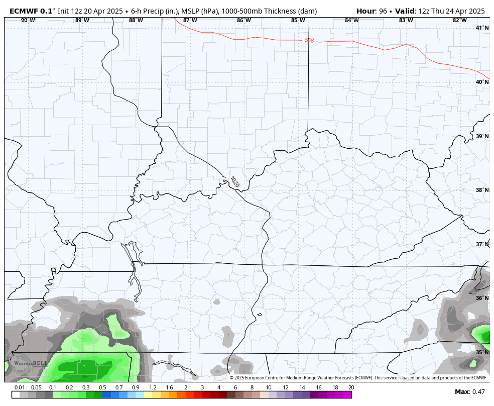
Here’s the EURO showing this action coming at us in waves…
The busy pattern looks to increase for the end of the month into Kentucky Derby Week. As always, it will be about the timing of showers and storms for any outdoor activities.
Here’s your EURO…
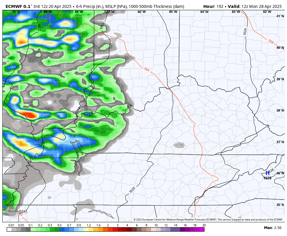
The EURO continues to see the potential for some pretty good convective rains over the next few weeks…

As usual, your friendly weatherdude leaves you with your friendly shower and thunderstorm trackers…

Make it a magnificent Monday and take care.

One can’t plan on perfect weather for any outdoor events this time of the year. Maybe in the Autumn months. It’s raining here in Maple now. Front arriving earlier than forecast.