Good Tuesday, everyone. It’s better looking day across Kentucky as drier air filters in from the northwest. This won’t last too long as the threat for showers and storms rumble back in later this week into the start of the weekend.
Temps today should reach 70-75 in most areas with clouds slowly cleaning up through the day with a mix of sun and clouds taking control.
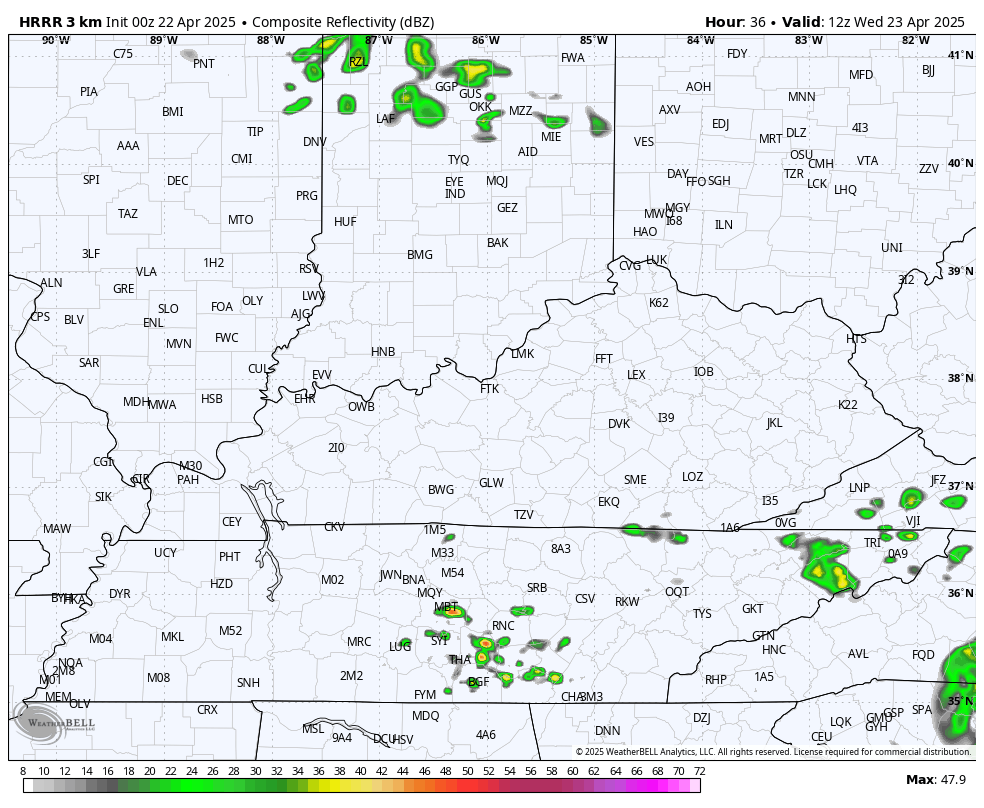
Highs Wednesday reach the upper 70s to low 80s with partly sunny skies. There is enough moisture to spit out isolated showers and storms across the south and southeast. These show up on the future radar from the HRRR…
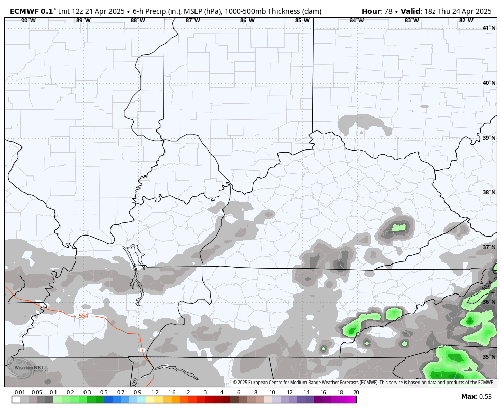
The threat for showers and storms then increases later Thursday and continues through the first half of Saturday…
After a bit of a break on Sunday, rounds of showers and storms look to return to start Kentucky Derby week. The timing of it all will work itself out in the next few days, so all we are looking at is the trend for the big week into Derby Weekend.
The current run of the EURO tries to clear the storms out as we head into Derby Weekend…
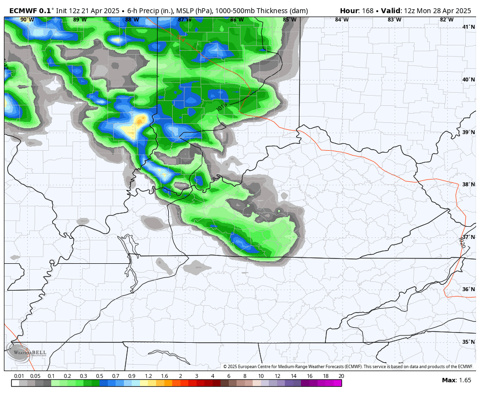
Again, the timing on that isn’t even close to being set in stone.
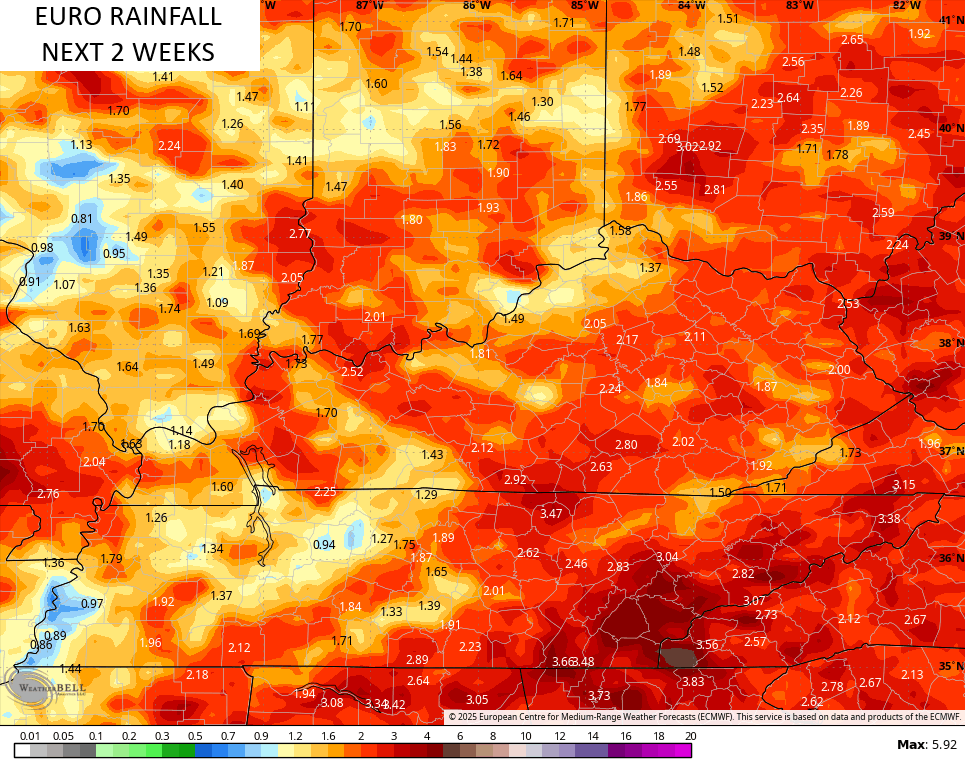
The same run of the EURO also backed off a bit on rainfall totals…
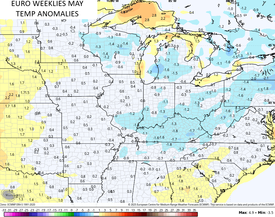
The EURO Weeklies continue to show May with slightly cooler than normal temperatures…
Something cool, literally, is happening in the waters of the Equatorial Pacific as the past 7 days have seen a dramatic drop in temps. Look at the blue and Barney colors…
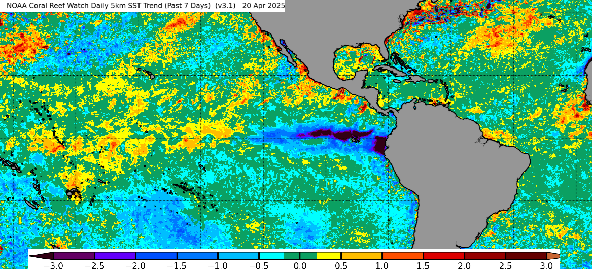
That big drop in water temps likely means the chance for an El Nino is pretty low. This may wind up being a neutral signal from the Pacific for the summer ahead. Does that trend hold into the fall and winter? Hmmm.
Make it a great day and take care.

Yes, very likely we will have another La Nina Fall and Winter with a negative PDO.
Not sold on them EURO weeklies.
We always have one or two days with below normal temperatures in May. Some call it ‘ Blackberry Winter. ‘
2002 May did provide some temps near freezing.