Go0d Wednesday to one and all. It’s a really warm day across Kentucky as we gear up for storms to rumble back into the region. A few of these storms may even be on the strong side later Friday with better air to follow over the weekend.
Temps today reach 75-80 in most areas with a few spots hitting the lower 80s. A little bit of moisture gets into southern Kentucky, leading to isolated showers and storms to go up. This moisture kicks into higher gear on Thursday with scattered showers and storms having better coverage.
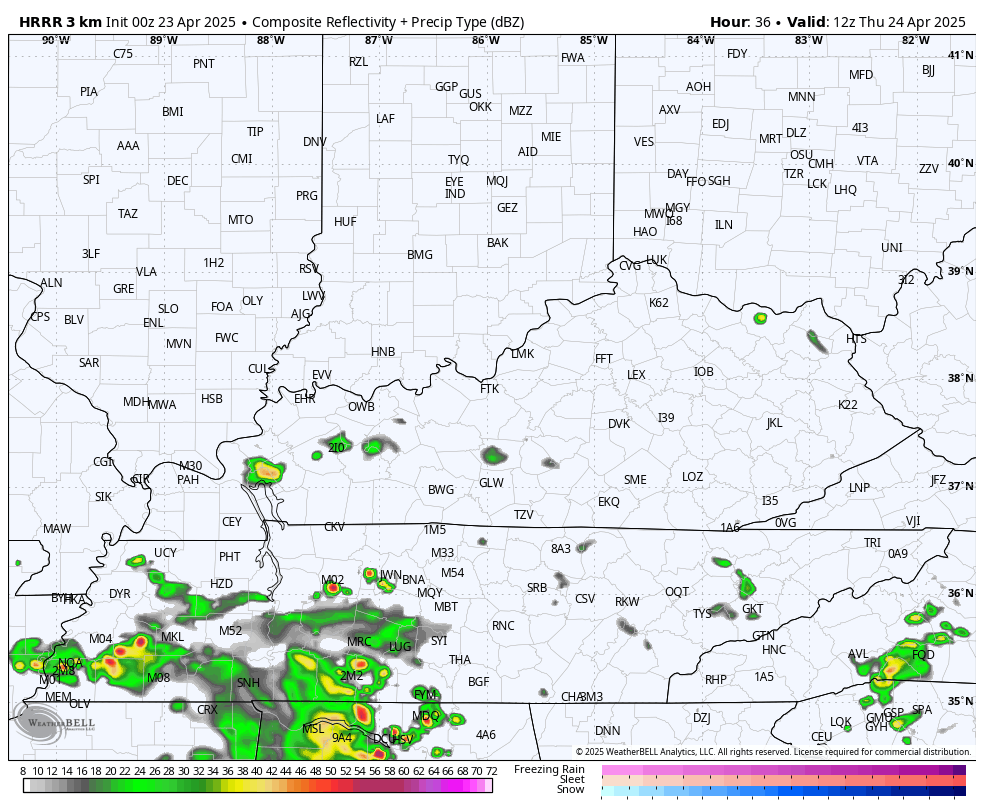
Watch the northward drift to these showers and storms on the future radar from the HRRR…
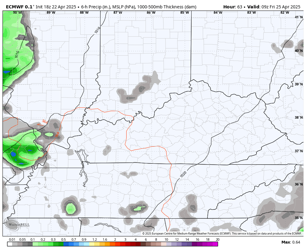
The action looks more common Friday into Friday night as a cold front drops in from the northwest. After some morning showers and storms, the weather for Saturday improves greatly from west to east. Here’s the EURO from Friday morning through Saturday evening…
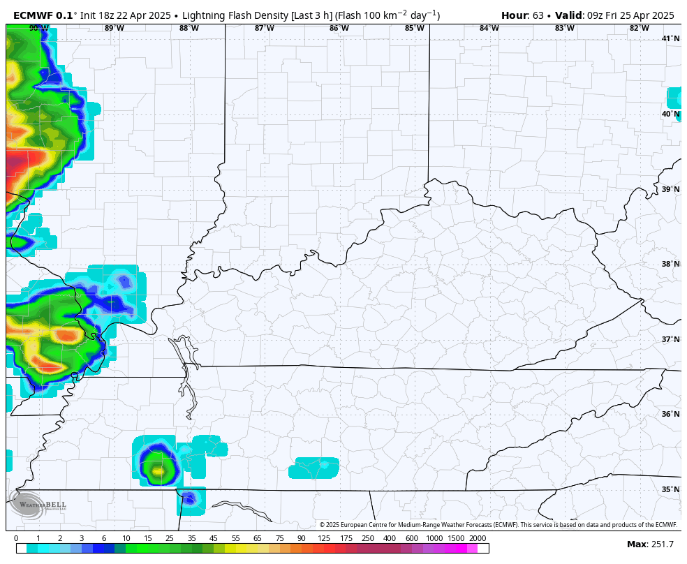
Here’s the lightning density forecast from that same run of the EURO…
There is a low-end risk for some strong to severe storms Friday afternoon and evening. Here’s the Friday Severe Weather Outlook from the Storm Prediction Center…

The weekend is cooler with upper 60s to low 70s Saturday and Sunday.
Temps jump up into the upper 70s to low 80s through the first half of Kentucky Derby week. There’s the chance for a shower or storm Monday and Tuesday, but a cold front means a greater shot for showers and storms Wednesday and Thursday.
The models show a break after that before another cold front arrives with some showers and storms at some point Derby Weekend.
The EURO and GFS both have a similar overall thought process on this…
EURO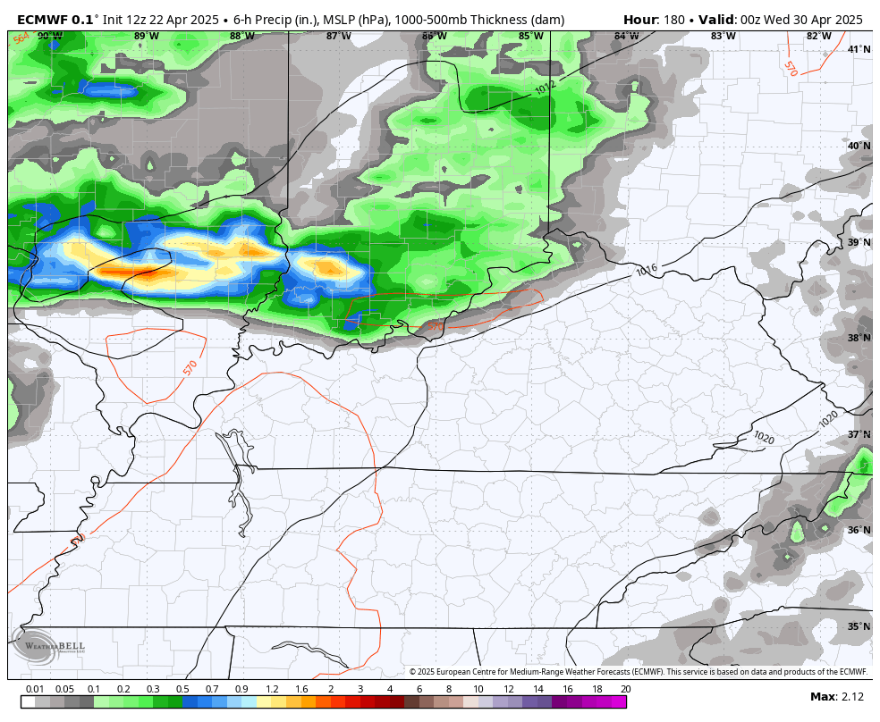
GFS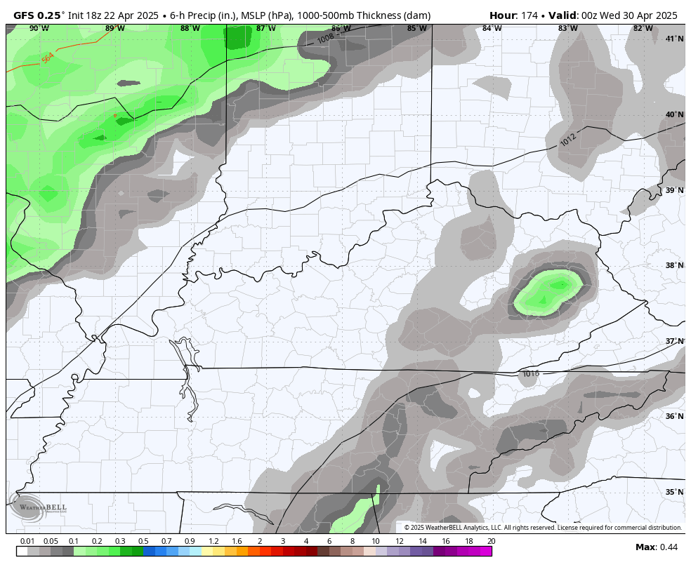
Timing is everything in life and weather, so the timing of those fronts is critical to the actual weather for Derby Weekend.
I leave you with your Kentucky Weather Radars to follow the isolated stuff across southern Kentucky…

Make it a wonderful Wednesday and take care.
