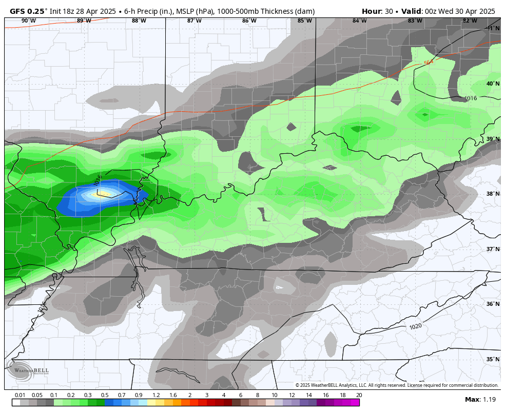
Good Tuesday, everyone. Strong to severe storms are likely to rumble across Kentucky this afternoon and evening, kicking off a rather stormy setup through the end of the week. Can we get rid of the showers and storms by Kentucky Derby Saturday? We are all hoping the answer to that is yes, but it will be a close call.
Temps out there today reach 80-85 degrees on a gusty southwest wind. Clusters of showers and storms then develop this afternoon and early evening and roll across the region and some of these may cause some issues.
The Storm Prediction Center has the entire region in today’s Severe Weather Outlook…

The tornado threat today is low, but not zero, across Kentucky. A better chance for a few tornadoes shows up to our northeast…

Damaging winds continue to be the main threat with today’s storms…

Pockets of large hail may also show up…

The front pressing in today slams on the breaks, leading to a few more storms into Wednesday. Low pressure then develops along this boundary and rolls through with more in the way of strong storms for Thursday with some showers and storms into Thursday…
Does this linger into Derby Day? The GFS says this all ends Friday night…
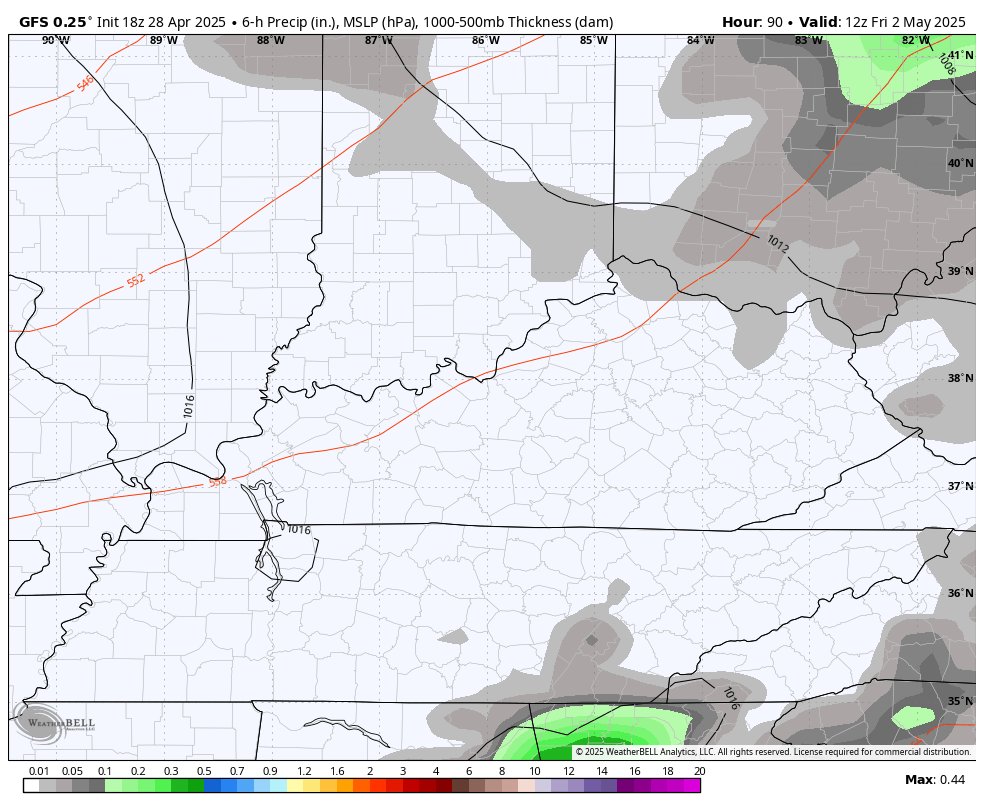
That would mean a cool, but partly sunny Kentucky Derby Day.
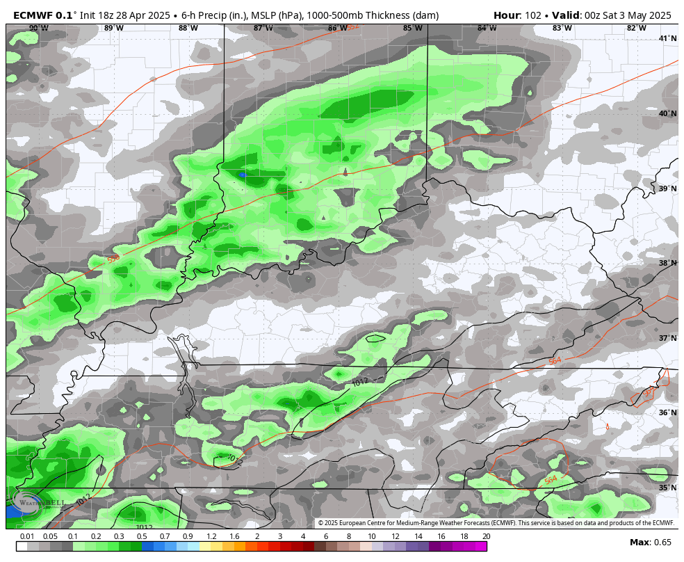
The EURO is now slower with this low exiting the region and keeps some decent showers rolling into Derby Day…
Chilly winds blow behind this departing system, whenever that is, with the potential for lows to reach the 30s.
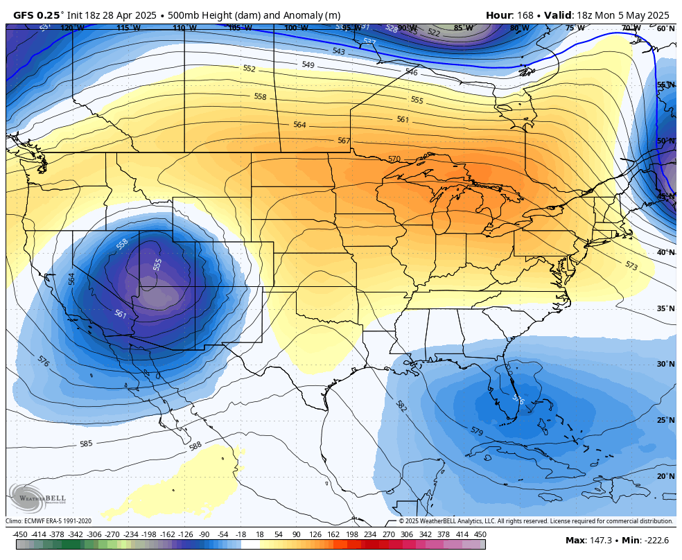
From there, the pattern continues to look VERY blocky for the first half of May. The models show these big upper levels lows floating around but disagree on where to put these…
GFS
EURO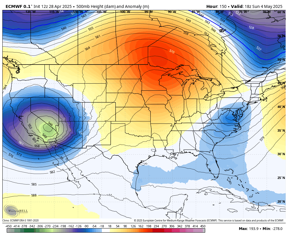
Very cool and damp weather would be noted under these upper lows with sun and very warm temps under those ridges showing up.
I may update things later in the day and be on WKYT-TV as needed. As usual, I have all your storm tracking needs for the day…

Current watches

Possible Watch Areas

Make it a terrific Tuesday and take care.
