Good Thursday and welcome to the month of May. Rounds of strong to severe storms target the region again today as we open the new month on a stormy note. As we head into Kentucky Derby weekend, things look rather ugly with showers and storms hanging around as chilly winds kick in.
We have a mix of sun and clouds out there today with temps hitting the upper 70s to middle 80s.
Low pressure passes to our west, placing our region in the prime area for strong to severe storms. The Storm Prediction Center has the entire state in today’s Severe Weather Outlook…

The prime time for severe weather is this afternoon and evening as storms move in from west to east.
There is the risk for a few tornadoes and the SPC shows today’s elevated potential…

Damaging winds continue to be the main threat with today’s storms…

Pockets of large hail may also show up…

With a slower moving system coming in over the weekend and this means the potential for severe storms will likely hang around into Kentucky Oaks Day on Friday. Once again, the greatest threat comes during the afternoon and evening hours.
The Storm Prediction Center now has our region in the Severe Weather Outlook for Friday…

All modes of severe weather will be possible.
The low spinning in for Kentucky Derby Weekend will hang around our region into early next week, bringing rounds of rain, gusty winds and increasingly chilly temps.
This whole scenario was first sniffed out by the EURO several days ago and now we are seeing other models jumping on board with some really ugly stuff. Here’s the EURO from Friday morning through Monday….
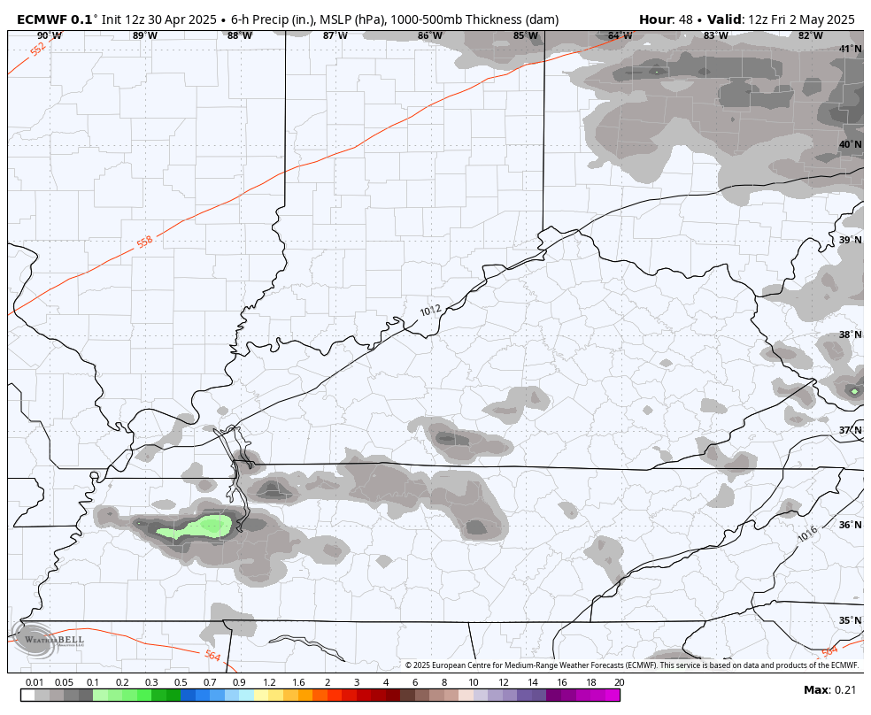
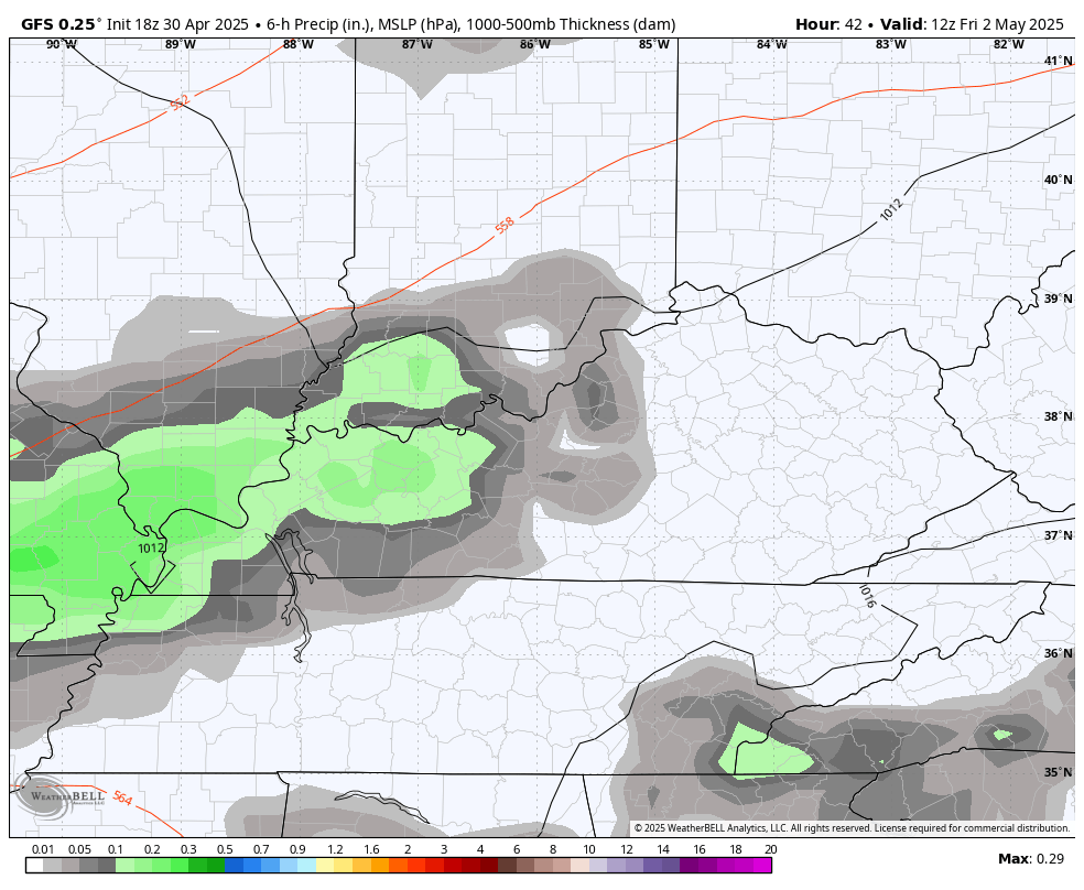
The GFS was the last model to join in on the fun, but it looks a lot like the EURO now…
This scenario could bring some pretty hefty rains spinning around and right underneath the track of this low. It also means gusty winds with highs that may not get out of the 50s for some areas Sunday and Monday. Ugh.
I’ve talked about a blocky setup for more than a week now and I’m going out on a limb and saying this qualifies…
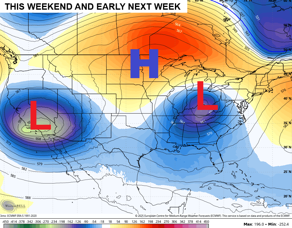
That map has eyes.
I will update things if needed later today and I’ll be on WKYT-TV for any severe weather coverage. As always, I leave you guys with your severe weather tracking tools…


Current watches

Possible Watch Areas

Make it a great Thursday and take care.

It won’t last.
Rain has been predicted everyday this week, and the only storm was Tuesday evening. Well overplayed in my opinion.
Same here Schroeder only rain we got was Tuesday as well and 8they been predicted everyday
An amplified High Pressure to our East is pushing the warm front North of our area cutting off the precipitation. We shall see what happens when the cold front arrives latter.