Good Wednesday to one and all. Temps are increasing a bit for the next few days, but those new numbers will bring about some scattered showers and storms. This is ahead of another cold front bringing in cooler air to end the week. There’s another potential stormy setup lurking by early next week.
In the short-term, temps today reach 70-75 in many areas with a few scattered showers and storms going up. The threat for showers and storms will pick it up a bit for Thursday as a weak cold front drops in from the northwest.
The Hi Res NAM future radar shows some decent showers and storms impacting the southern half of the state during this time…
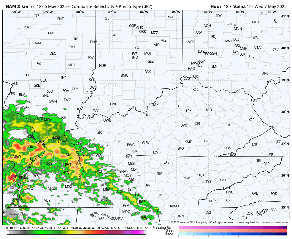
Some locally heavy rains of an inch or so may very well show up in a few spots. Can we squeeze out a strong storm or two? Maybe.
Temps come way down by Friday as morning clouds and showers exit the east. Highs are generally in the 60s.
Saturday looks good with highs in the 65-70 degree range.
Mother’s Day Sunday sees temps reach the low and middle 70s with an increase in clouds as the upper low to our south starts to head north. This may very well bring rounds of showers and storms in here as early as Sunday night and Monday. Those would continue into the middle of next week with some more storms developing and rolling in later next week and weekend.
Here’s the EURO From Monday through May 18th…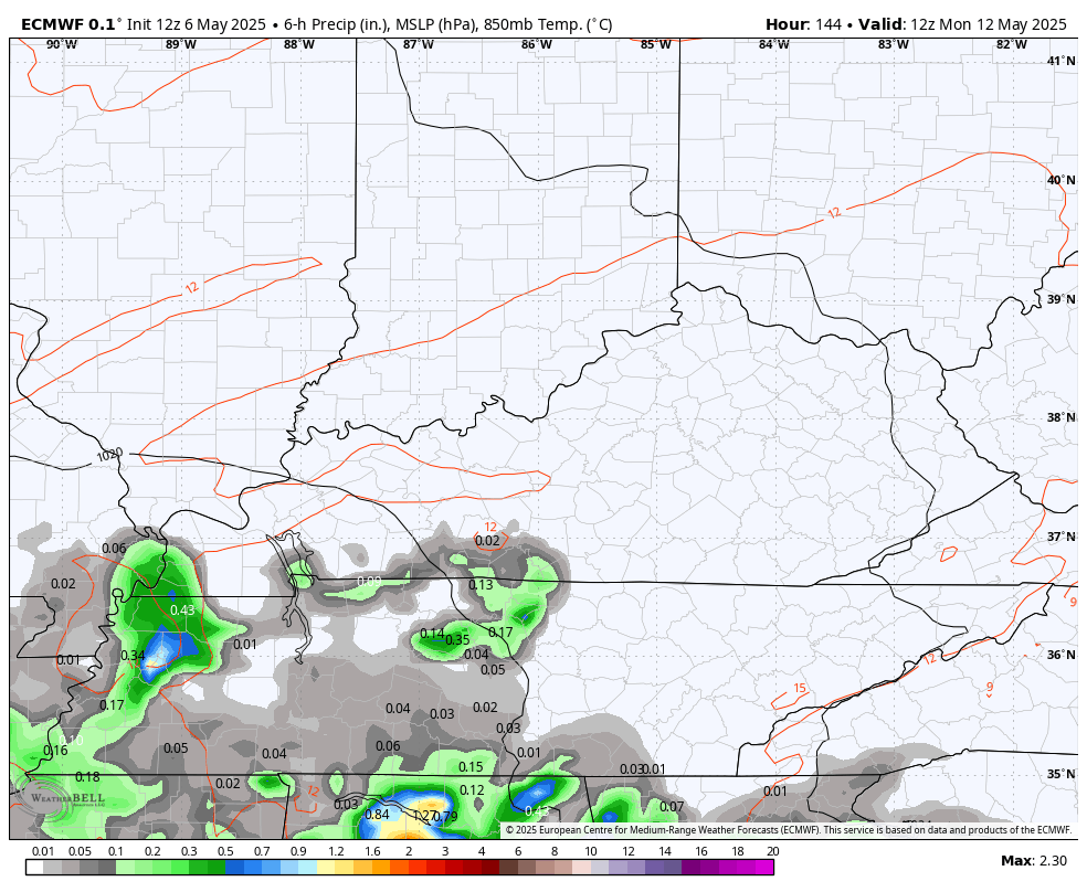
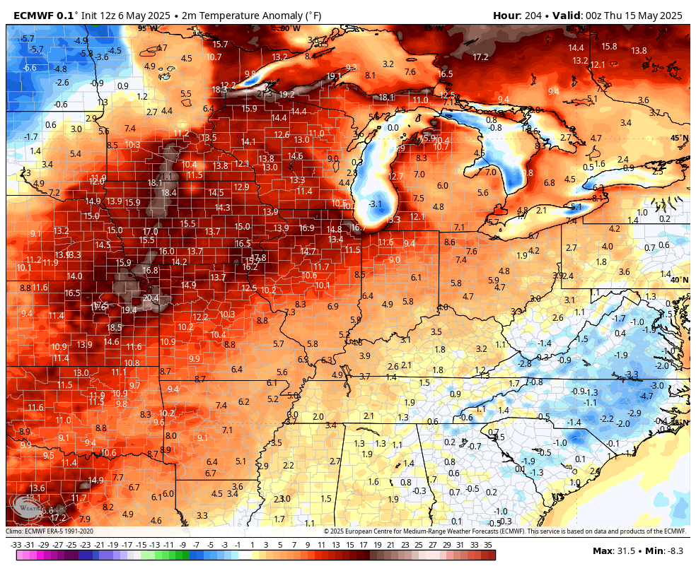
That comes with a very warm air mass next week and it may very well produce some strong to severe storms. That warm up may be replaced by another cool air mass and this is now showing up on the EURO around the 19th or so…
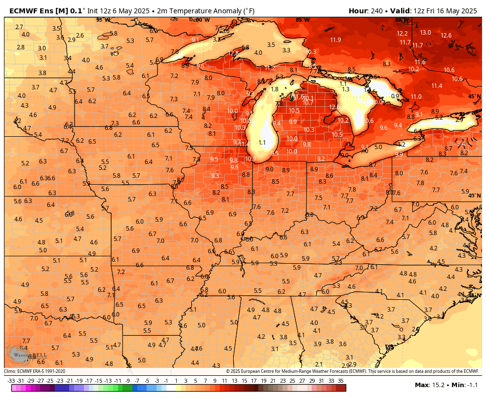
The EURO Ensembles are also going toward another cooler than normal look…
The GFS says let’s go Barney colors once again…
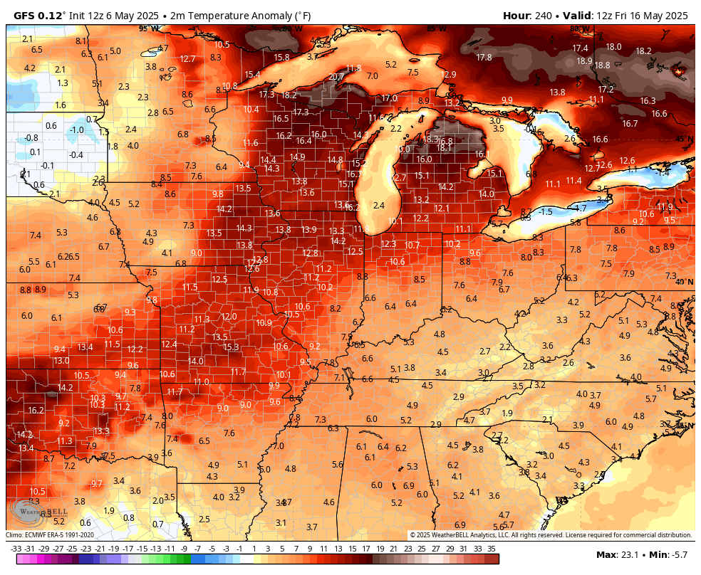
Ugh!
As always, I leave you guys with your storm tracking tools for the day…
…

Have a terrific Tuesday and take care.

Anything showing cold is a liar.
It’s Topical May we’re gonna have cool shots.
High temperatures the next 10 days in the low to mid 70’s sounds wonderful to me, and it won’t be raining all the time. Severe weather, so far this Spring has been very tame in my area of the state. The hot, humid and drier weather will be here soon enough, and so will be the complaints about the lack of rain.