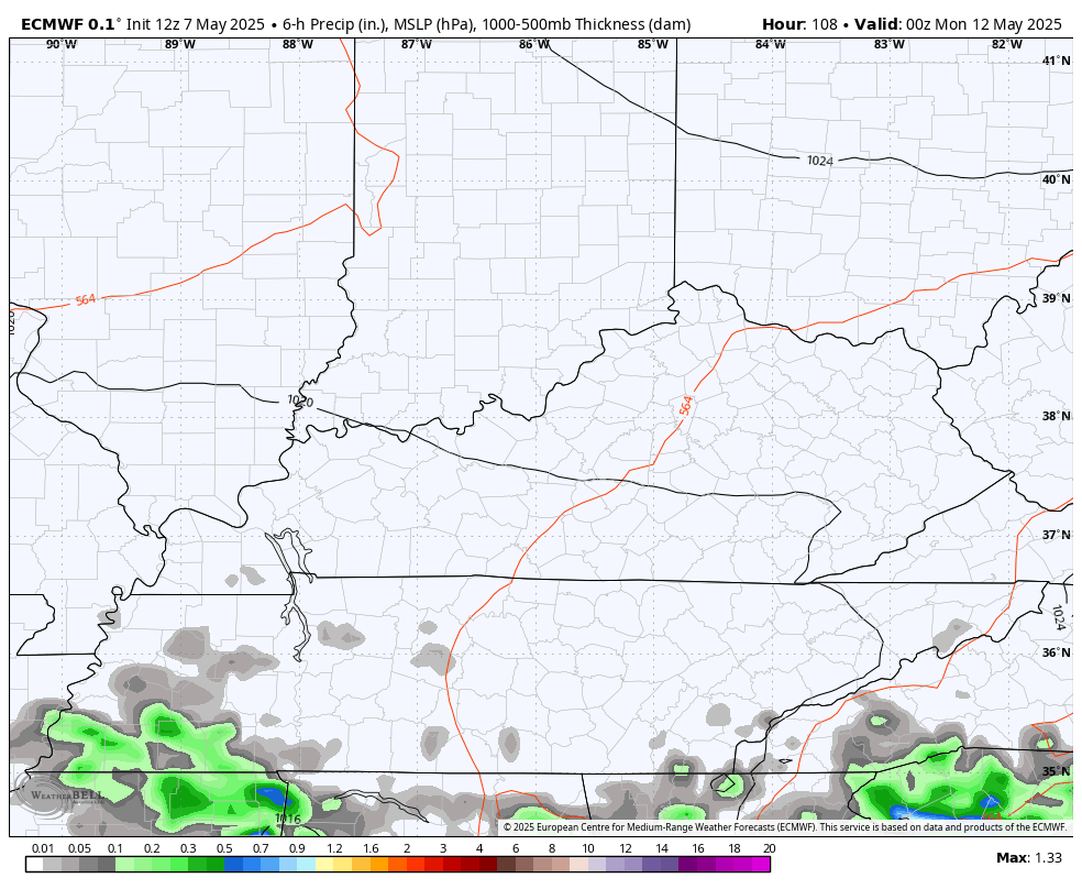
Good Thursday, folks. Rounds of showers and thunderstorms are showing up across the state today and a few of these may be strong or severe. This is ahead of a cold front bringing a brief chilly shot to start a nice looking Mother’s Day Weekend. Beyond that… Things turn warm and stormy.
Storms today aren’t terribly widespread, but they will work from west to east and may contain damaging winds and large hail. That’s why the Storm Prediction Center has the southern half of the state in a Marginal Risk to Slight Risk for severe storms…

The potential for local wind damage and large hail continues as the main threats from the SPC…


Morning showers exit southern Kentucky as a cool wind kicks in from the northwest. Sunny skies take over with highs generally in the low and middle 60s.
This sets the stage for the possibility of lows reaching the 30s by Saturday morning, especially in central and eastern Kentucky. Highs by Sunday afternoon reach 65-70 in most areas with temps deep into the 70s for Mother’s Day.
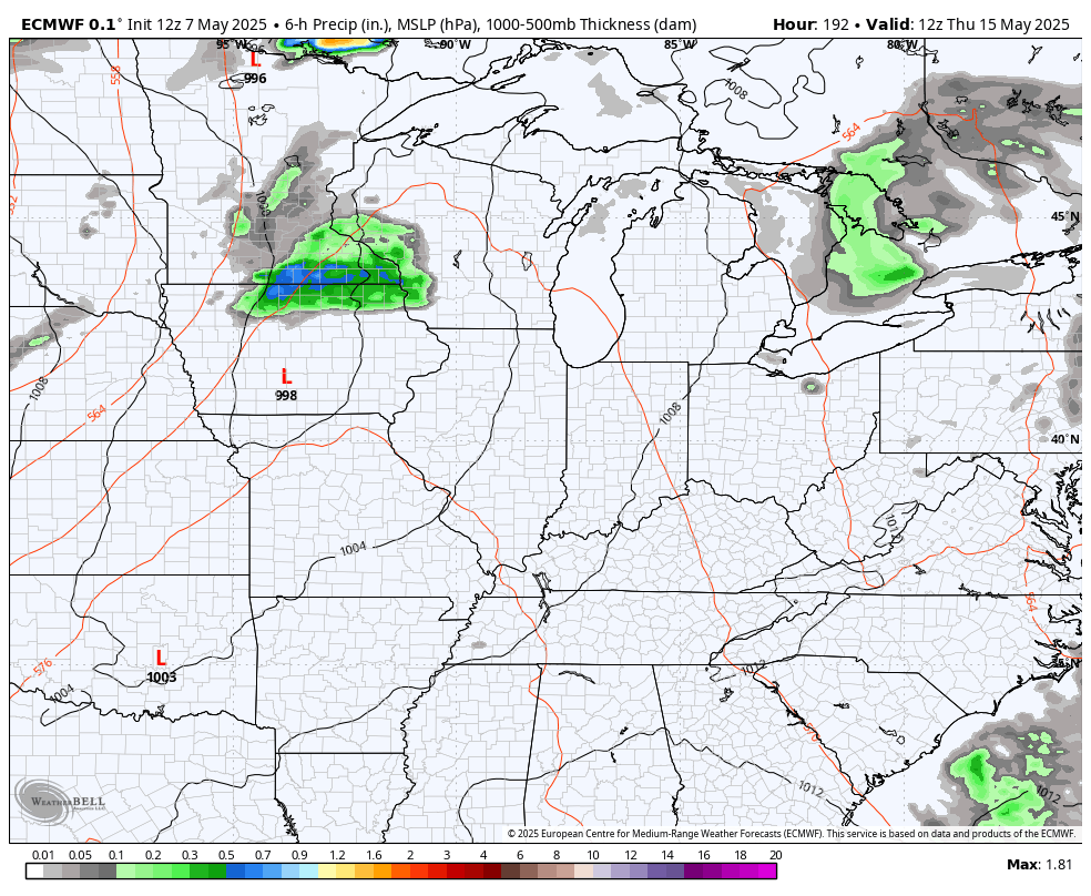
Clouds will stream in later on Mother’s Day and that’s ahead of a storm system spinning in from the south. That arrives with rounds of showers and storms for Monday and Tuesday with a lingering shower or storm into Wednesday…
Temps are pretty normal during this time with highs in the 70s.
The setup later next week into the following week looks rather active…
That would likely bring some severe weather opportunities in here. It could also mean the next two weeks would feature some pretty hefty rain totals…
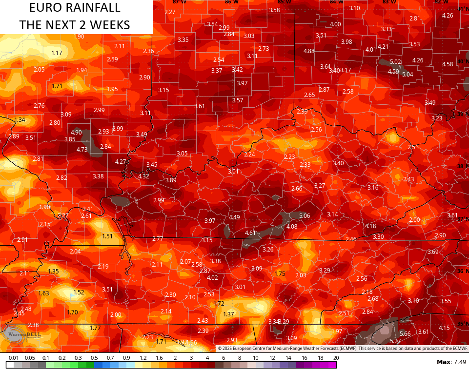
I know you’re shocked that above normal rains would continue.
Speaking of rain, the EURO Weeklies are growing more active with the threat for rains through much of June..
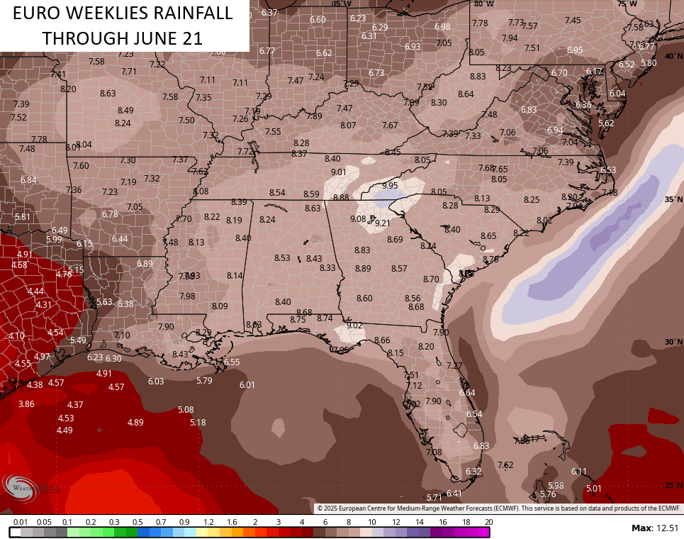
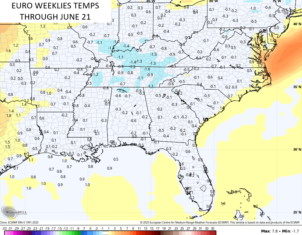
The Weeklies also keep that cooler than normal look going through the same period…
I will update things if needed later today and I’ll be on WKYT-TV for any severe weather coverage. As always, I leave you guys with your severe weather tracking tools…

Current watches

Possible Watch Areas

Make it a great Thursday and take care.

We hope that all changes in the coming days to warm and sunny days, and cool temperatures in the early morning hours.