Good Monday, everyone. On this Memorial Day, we stop to honor and mourn those who have given the ultimate sacrifice while serving in the US Armed Forces. I also want to say a thank you to those who have served and are currently serving the United States of America.
Today is the unofficial kickoff to summer but Mother Nature isn’t even close to being in a summertime mood around here. Temps remain below normal as we track rounds of showers and storms back into the region tonight and Tuesday.
This action can put down 1″-3″ of rain across parts of central and eastern Kentucky through Tuesday night and early Wednesday. This may be enough to cause some local high water issues to develop and the map below shows you where I think the best chances are…
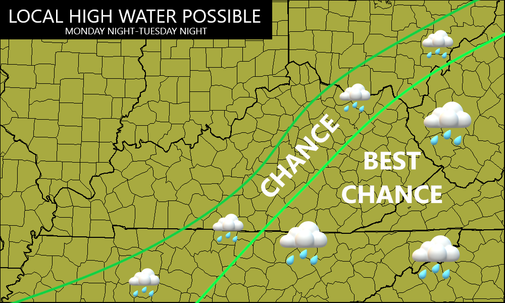
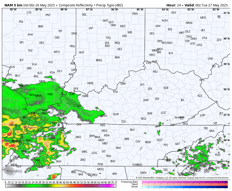
The future radar from the Hi Res NAM shows all this very well. Our animation starts at 8pm this evening and goes through 8am Wednesday…
While the severe threat with this is rather low, I’m going to watch for a local strong to severe storm going up. Here’s the Severe Weather Outlook for Tuesday from the Storm Prediction Center…

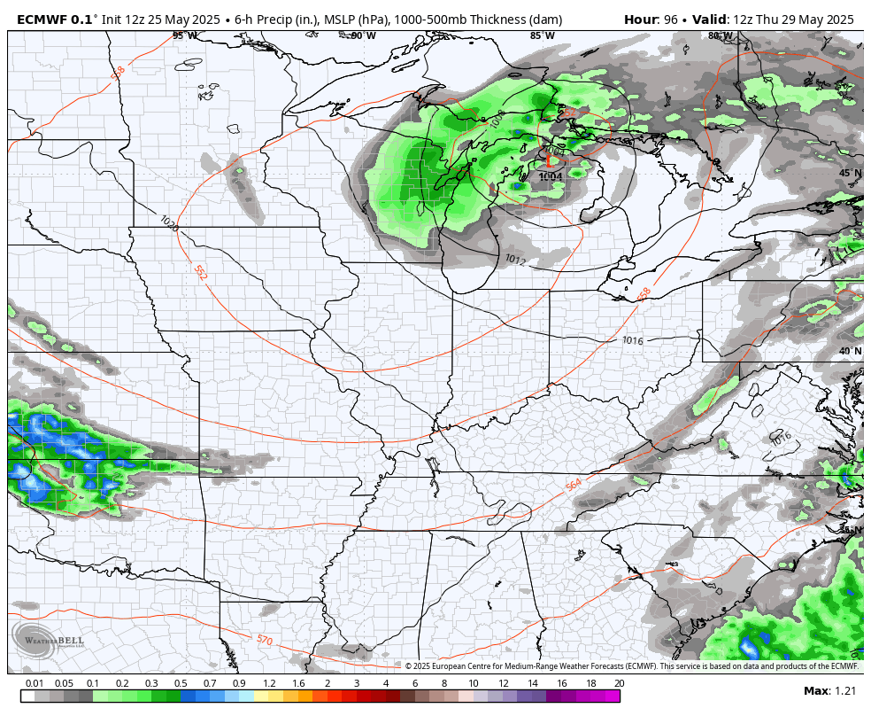
Lingering showers and storms will be around for the rest of the week before the models split on what happens after that. The EURO has several systems dropping in on a northwest flow as we close May and hit the first few days of June. These systems bring scattered shower and storm chances…
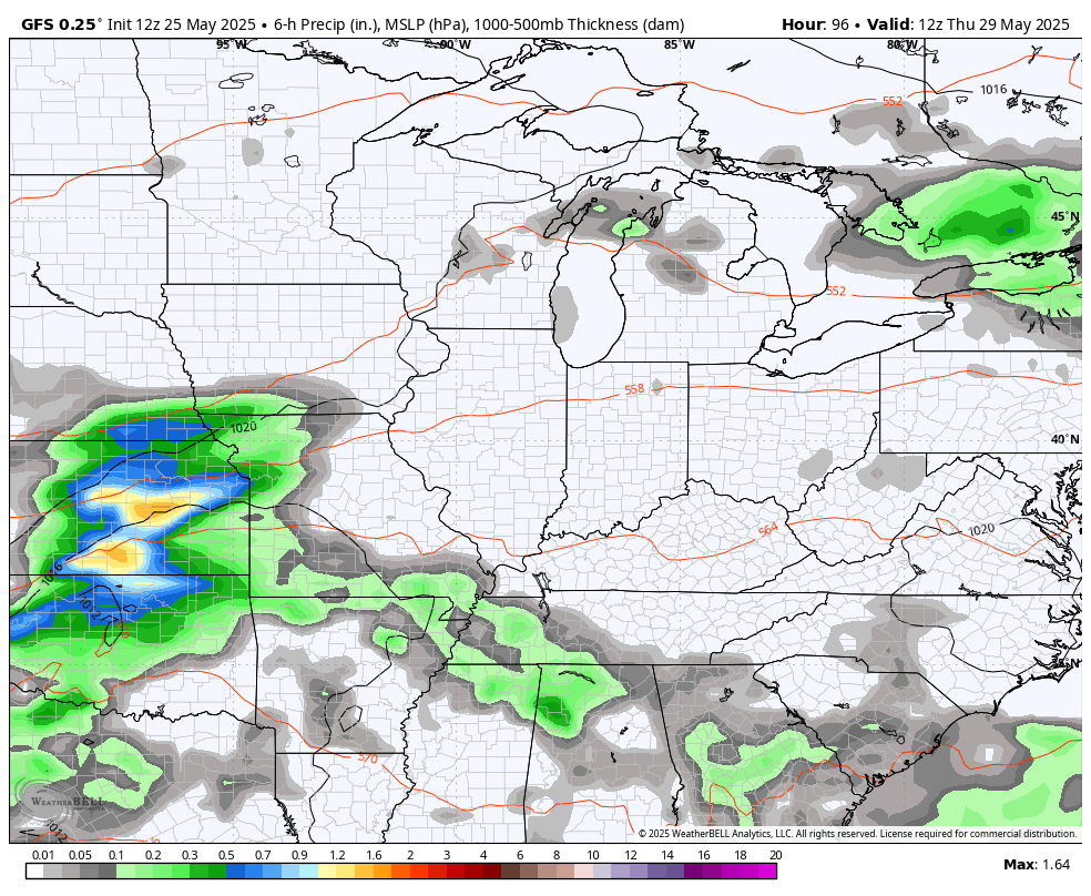
The GFS continues to advertise another slow-moving low wrapping up over the Ohio Valley, bringing a better shot of showers and storms…
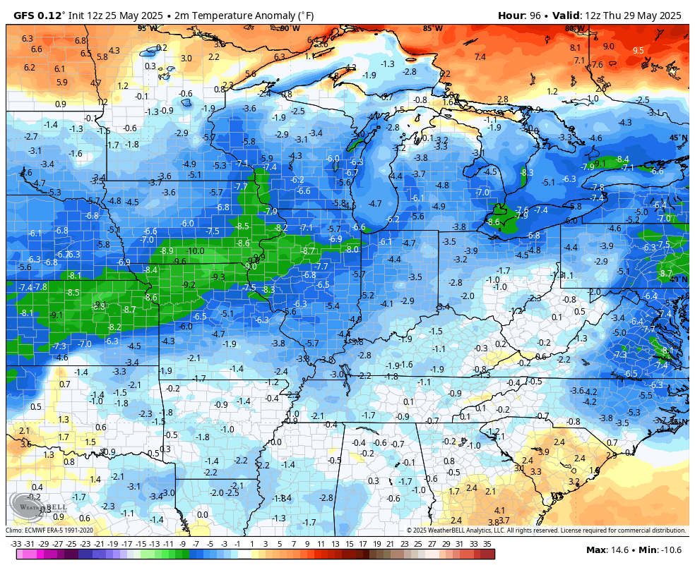
Both models keep the temps well below normal to end the month and hit the first few days of Meteorological Summer, with the GFS going back to Barney…
I’ll have the latest on WKYT-TV this evening. Until then, I leave you with your storm tracking tools for the day…

Make it a great Memorial Day and take care.

I think that the forecast models calling for below normal temperatures are overreacting to the presence of rainfall, which will lower temperatures by 5-10 degrees or so. But I believe that the prospects for above normal precip over the next few months are realistic, since the flow of moisture from the Gulf of Mexico has been reestablished.
The tropics will also contribute to our rainfall totals, as this year’s hurricane season will be an active one. The total number of storms will be average, but the number of major hurricanes, those reaching category 3 and higher will be above normal, and we are likely to see several storms threaten the US mainland.
I have never seen a weather pattern last this long, except in 1968. On July 4 th, 1968, at our Family picnic, we were all wearing sweaters and jackets. That whole Summer and Fall was well below normal in temperatures. If memory serves, there was a couple of huge Snowstorms the following Winter.
We’re still going to dry out and get hot.
Normally, we would.
Maybe the earth is finally cooling down. It does comes in cycles. Shall see
Could be.