Good Wednesday to one and all. We’ve made it to the middle of the week, and we have more of the good stuff in terms of the weather. This nice weather won’t be sticking around much longer as we have another stormy setup on the way for the weekend into next week.
Temps today hit the upper 70s and low 80s in most areas with a little more smoke in the sky.
Thursday finds low and middle 80s with an increase in humidity levels and the threat for isolated storms in the west and far south.
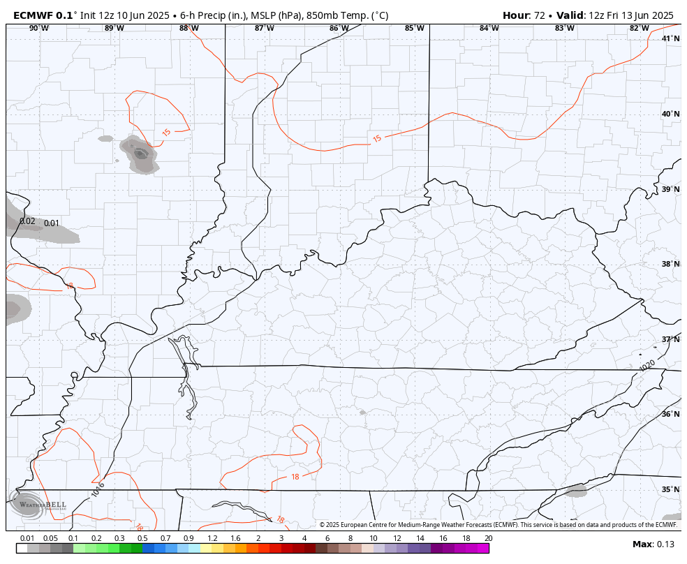
Showers and storms then increase a little more on Friday with a much better coverage of the showers and storms this weekend into Monday. This animation from the EURO goes from Friday through Monday…
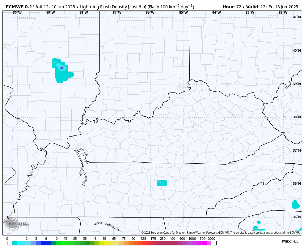
Check out the amount of lightning showing up with these storms…
Locally heavy rains are a good bet with these, but this is NOT a washout of a weekend.
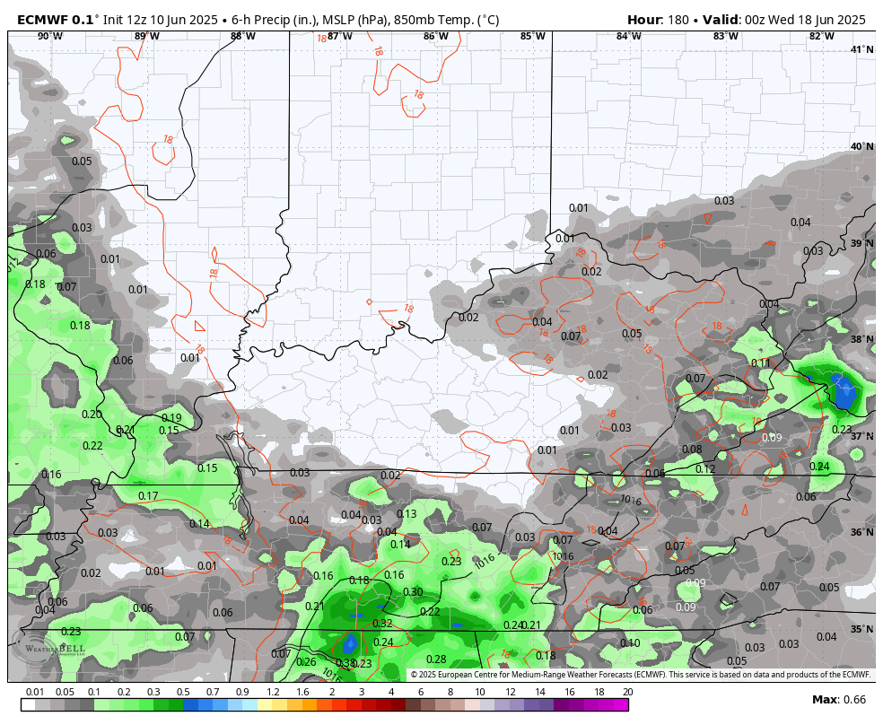
Storm chances come down a bit later Monday and Tuesday before going right back up later next week, likely continuing into the following week. Here’s the EURO…
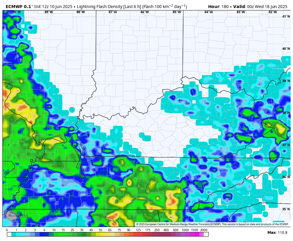
And the lightning for the same time…
The pattern on the EURO is now more in line with what the GFS has been showing with another trough digging into the eastern half of the country…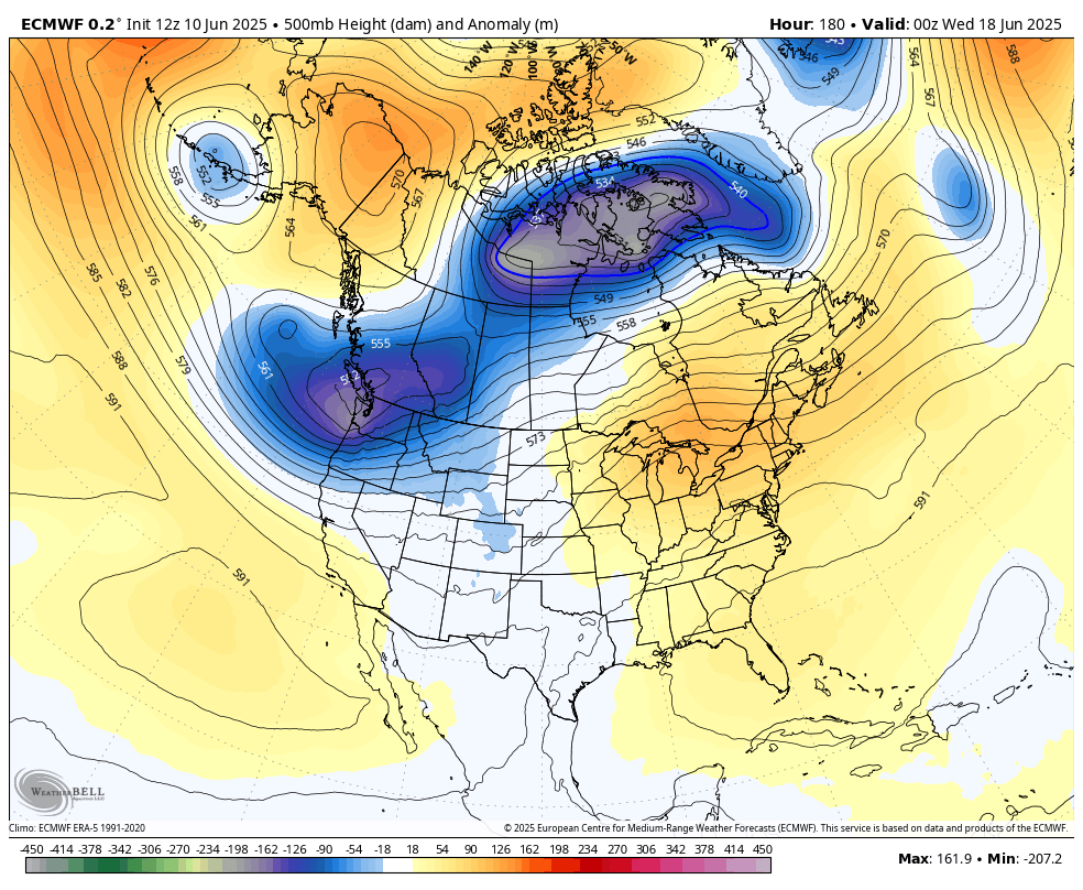
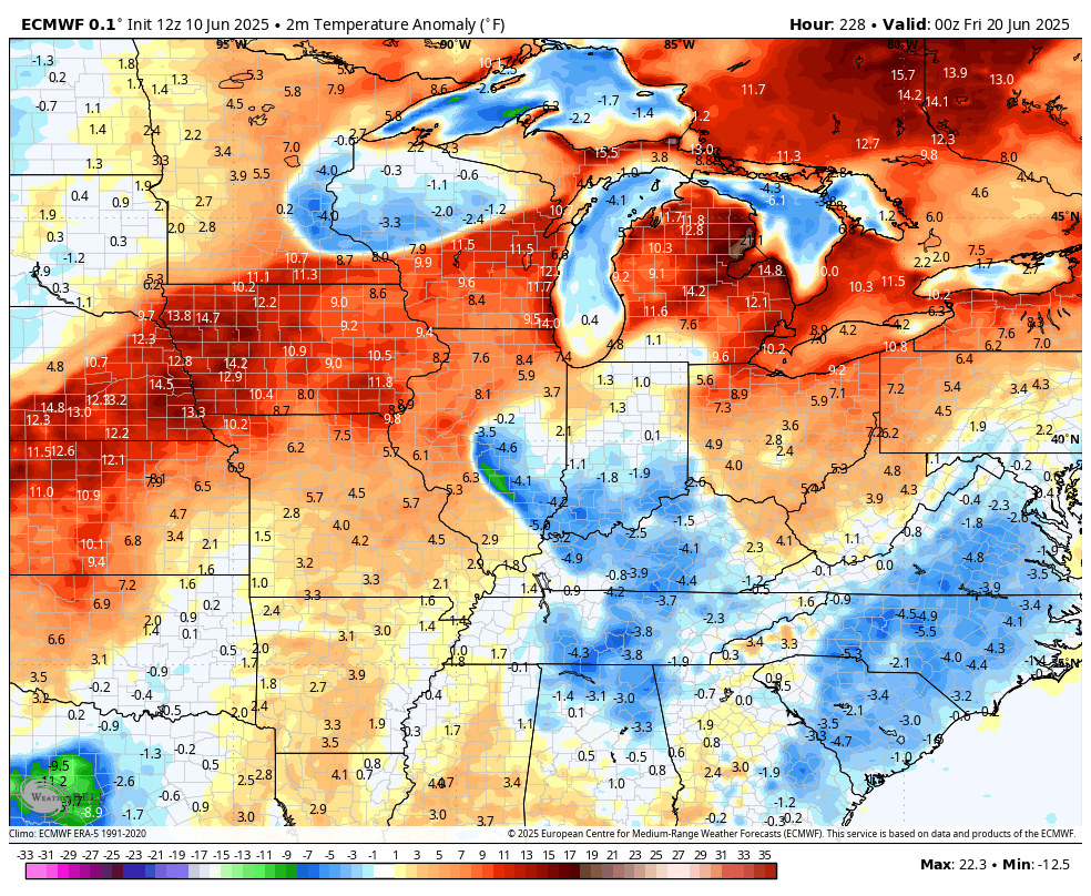
That trough would bring below normal temps back in…
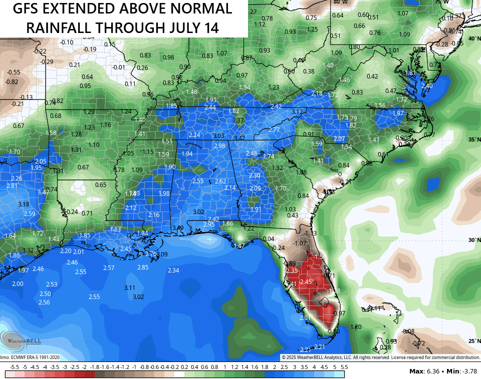
The latest rainfall forecast from the GFS EXTENDED goes through the middle of July and keeps us into the above normal rainfall area…
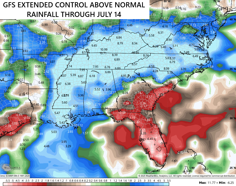
The control run is ugly…
Make it a wonderful Wednesday and take care.

We will not keep up this rainfall, sorry to tell ya.
Not buying into any of the models, but the smoke and gloom look to be dominating.