Good Thursday, everyone. On this Juneteenth, we are tracking a few more rounds of showers and thunderstorms. a few of which could be severe. We do have a drying trend coming in for the weekend, but the temps are set to surge.
A cold front is dropping in today, bringing showers and storms along and ahead of it. A few storms may be strong and severe into early this afternoon, especially across the eastern half of the state.
The Storm Prediction Center is highlighting this low-end risk…

Local damaging winds would show up with these storms.
These storms may put down more hit and run heavy rains that can cause additional flash flooding.
This cold front cleans the skies up for Friday with pleasant air taking to end the week and begin the weekend. The pleasant temps turn steamy this weekend into early next week with lows of 85-90 degree high temps. Some low 90s may show up, but the wet ground and green, lush vegetation will help tame the temps.
Humidity levels will turn up and that means it’s going to be absolutely steamy by Sunday and Monday.
There’s the chance for isolated showers and storms Sunday and Monday before the pattern goes back to stormy later next week into the following weekend. That shows up on the Canadian…
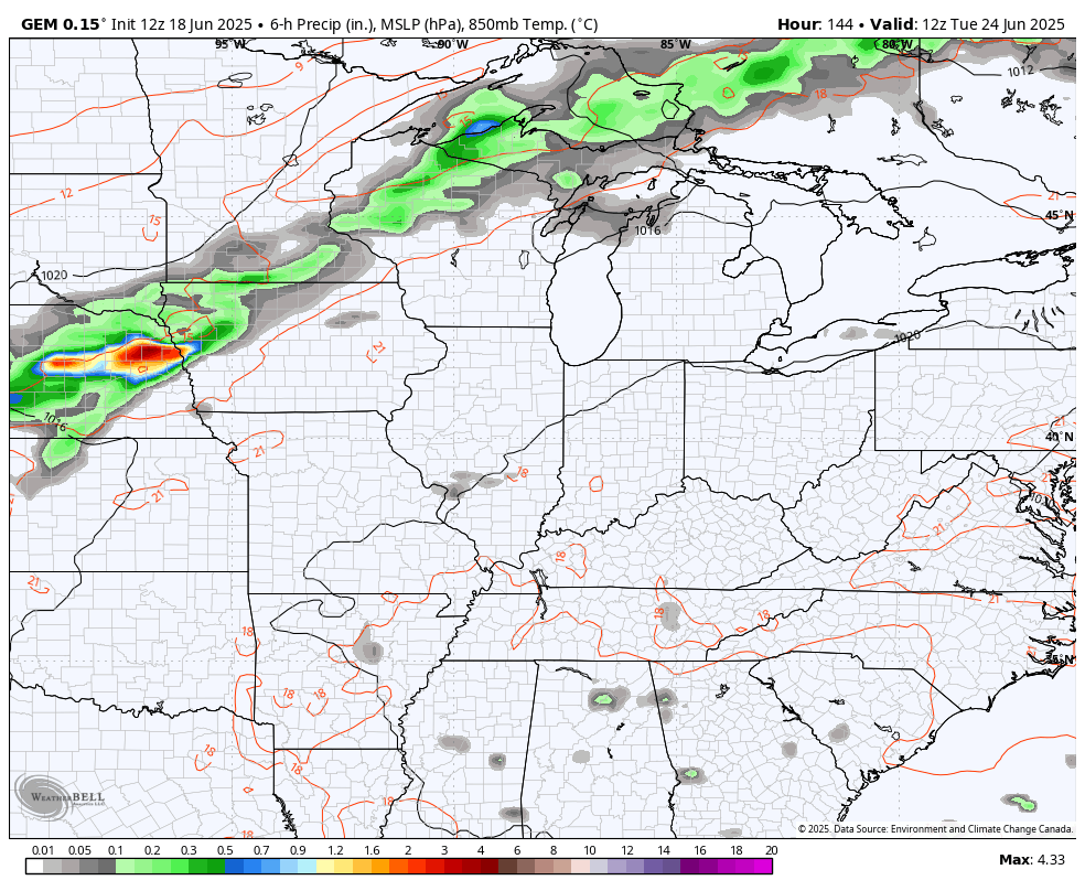
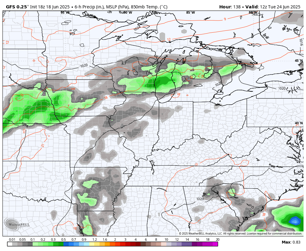
The GFS goes out farther in time and shows this stormy setup holding tough through the 4th of July…
I want to talk about the tropics for a bit.
The Atlantic basin is quiet, but the eastern Pacific is off to the races. Hurricane Erick is a powerful Major Hurricane that’s breaking all kinds of records…


This will be the earliest Cat 3 to ever hit Mexico.
I’ll have the latest on WKYT-TV starting at 4pm today. As always, I leave you with your complete storm tracking tools of the day…

Current watches

Possible Watch Areas

Make it a great day and take care.

How about a dry summer? We need it.
Not too dry Jeff.
In the past 48 hours, Taylor County received around 1.45 ” of Rain that came without much of a punch. A little thunder and brief bouts of heavy Rain Showers. For the month so far, we have received around 4.00 “, and for the year around 44.00 “. Well above normal. I’m hoping this Heat Wave next week doesn’t hang around too long. Not a fan of paying a high cooling bill.