Good Wednesday, everyone. It’s another steamy day across the Commonwealth as scattered showers and storms start to show up just a little more. The overall pattern finds storms increasing and temps decreasing as we head into the closing days of June.
Temps today generally range from the upper 80s to low 90s with a heat index from the mid 90s to low 100s for many. I suspect we will see another failed attempt at getting a Heat Advisory to verify…

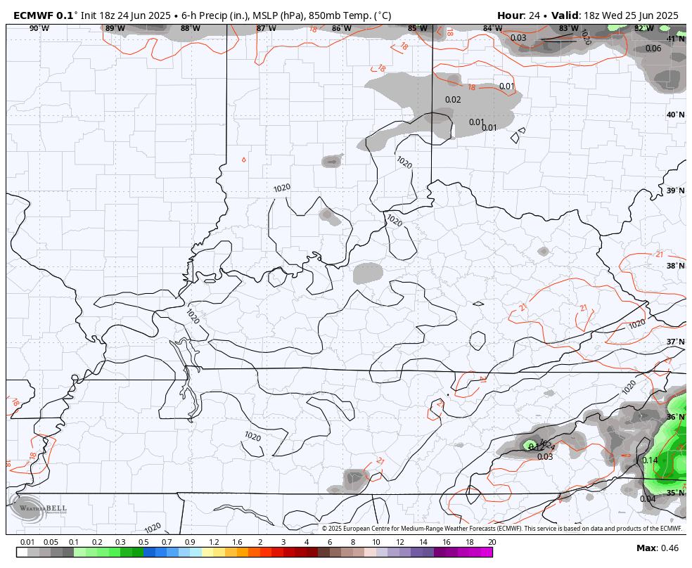
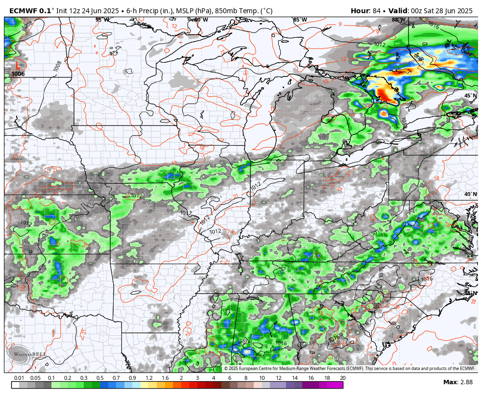
A couple of showers and storms will go up during the afternoon and evening. This action increases a bit more on Thursday with a greater threat for showers and storms going up on Friday. This animation takes us from this afternoon through Friday evening…
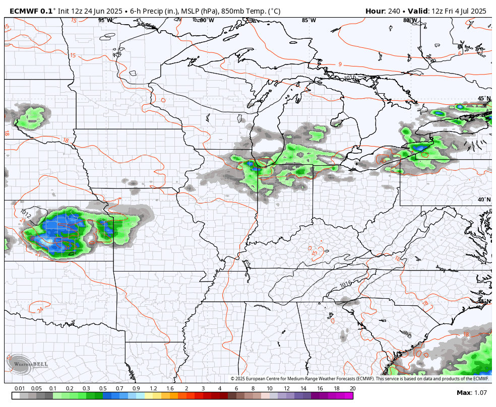
Scattered showers and storms will then be more common over the weekend as temps continue to come down with most areas 85-90. Showers and storms will then become likely early next week as a cold front approaches from the west. That front closes out the month with showers and storms and will also begin July with some showers and storms. Better air should come in behind this by Wednesday or so…
The trend for a decent 4th of July is there with more rounds of showers and storms set to move in over the rest of the holiday weekend into early the following week…
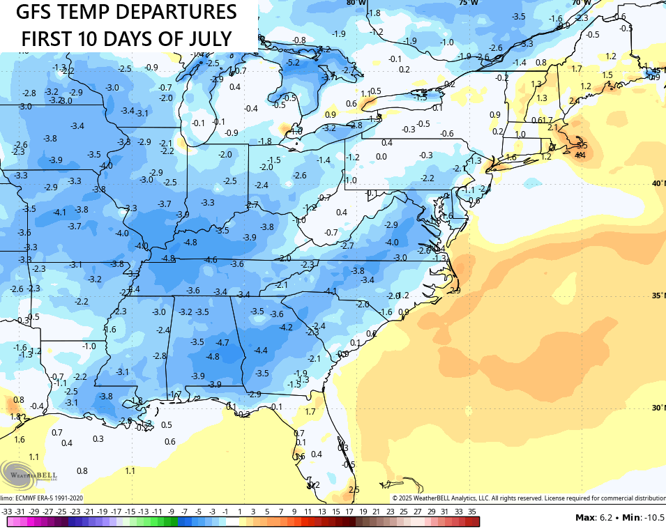
The models continue to trend toward a cooler than normal setup for early July with the GFS going all in on much cooler than normal for the first 10 days of the month…
As always, I leave you guys with your scattered storm tracking tools for the day…

Make it a wonderful Wednesday and take care.

The GFS is smoking the good stuff.
Enjoy the heat while it last!!
Came up US 27 yesterday afternoon from East Tennessee. Readings while driving were: 94 in Wartburg, 96 in Somerset, and (briefly) 98 somewhere near Stanton. Got out of the truck twice. Clearly not an official “verification,” but it was oppressive. Workers along the roadways were soaked in sweat.
This Heat Advisory most certainly continues to verify in central Warren County…
The high temperature today reported by my PWS was 98.4°F. Combined with a 79.9°F dewpoint, it pushed the heat index to a blistering 119.7°F!