Good Thursday, everyone. On this often-overlooked 3rd of July, we have another round of pretty awesome weather before we steam it up for the holiday weekend ahead. This will eventually bring more showers and storms in here, especially next week.
Temps today range from the low 80s to upper 80s with pleasant humidity and a mainly dry sky. I say mainly dry because there’s an outside chance for a spotty shower or storm to go up. To be safe, here are your Kentucky Radars for the day…

Temps are mainly 85-90 for the 4th of July with partly sunny skies. The typical hot spots (airports) can go a touch above. The same holds true this weekend when many areas top out in the low 90s. Humidity levels won’t be like we had last week, but it’s still going to feel rather steamy.
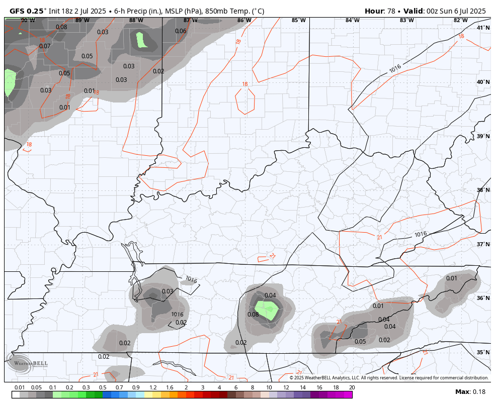
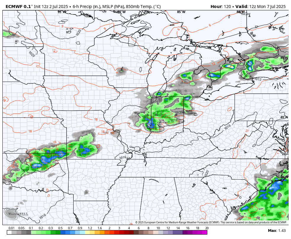
A storm or two is possible for Saturday with a much better chance for storm or two on Sunday. These showers and storms may increase a bit into Monday. The GFS shows this well…
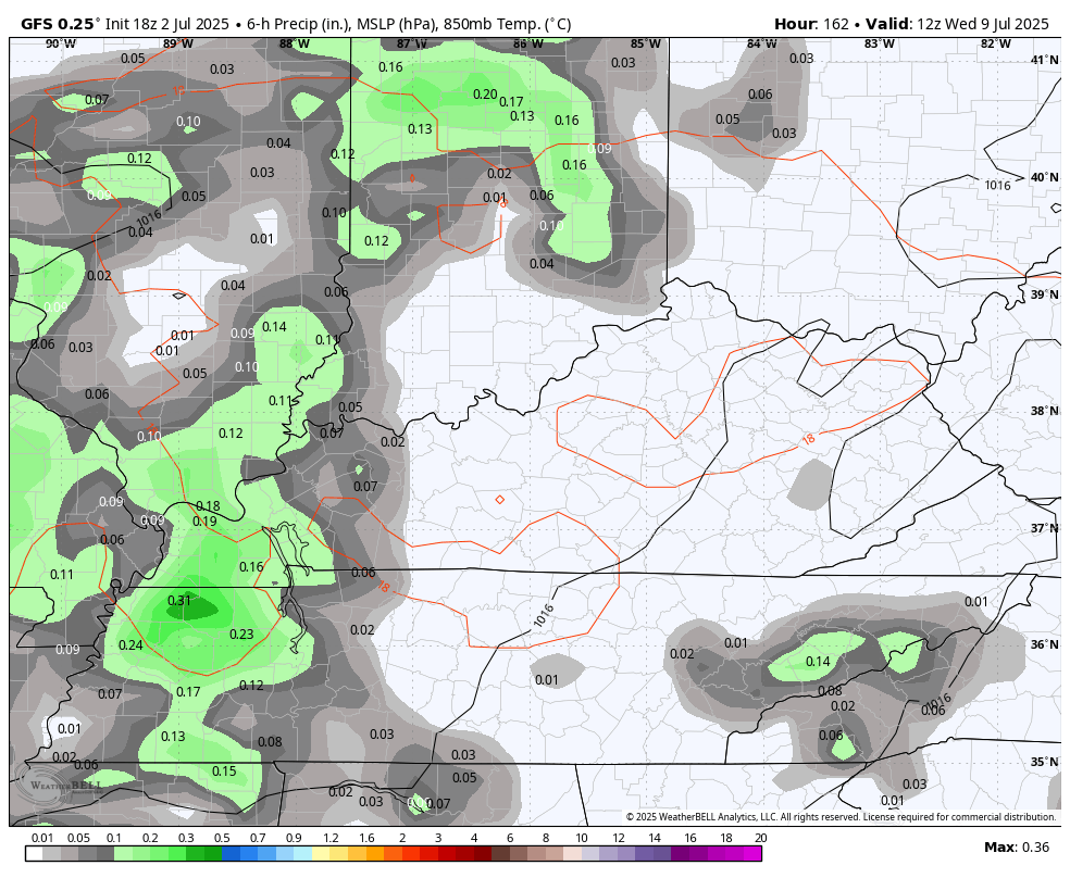
The threat for showers and storms will then increase as we head into the second half of next week into the following weekend…
The system spinning up on off the southeastern seaboard is still something to watch. The National Hurricane Center continues to show the increased chance of this popping…

Make it a great Thursday and take care.

These last few days – beautiful summer weather.
Hoping it stays that way, and Fall weather is early. Frost in mid to late September would be nice. Just wishful, and thinking back the way it use to be.
We are way overdue for a 2012 type of heat wave.