Good Saturday, everyone. It’s a seasonably steamy holiday weekend across our region as isolated showers and storms go up. The isolated action will become much more common in the week ahead as the pattern transitions back toward one with below normal temps.
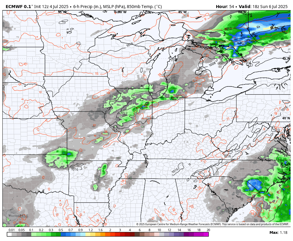
Temps today reach the upper 80s and low 90s with an uptick in humidity levels. A couple of isolated showers and storms may go up as well and your friendly Kentucky Weather radars are on the job…

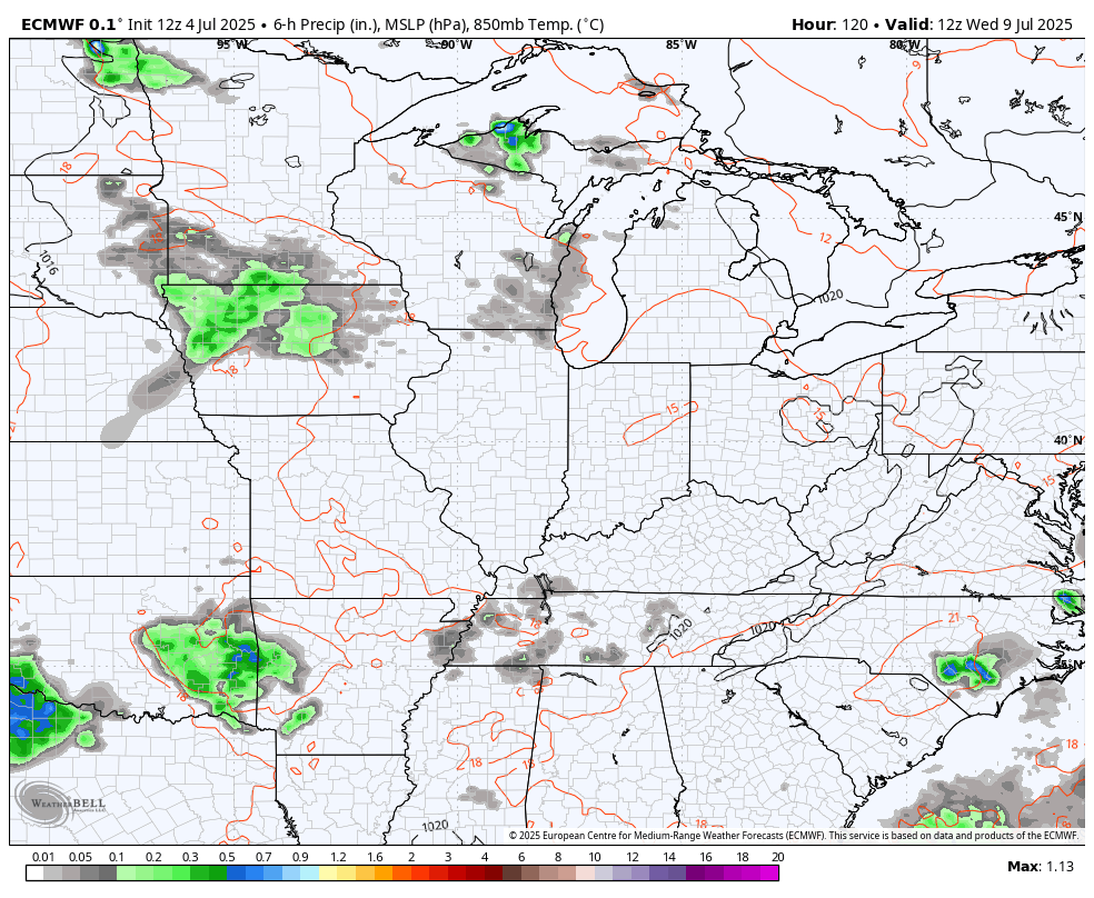
Scattered showers and storms blow up Sunday with temps similar to what we have out there today. This action looks to increase as we go into Monday and continue into Tuesday as a front gets in and slows down…
This front will be joined by what’s likely to be a big dip in the jet stream starting later next week into the following week. The signal for an anomalous trough has been there for a while and it’s still showing up well…
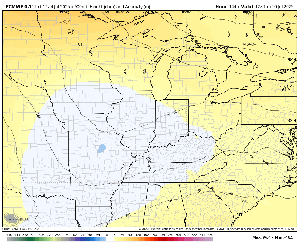
That is NOT something you see often in the summer months and especially in the middle of July.
That type of trough would bring below normal temps and the potential for pretty wet weather for an extended period of time…
The system off the southeast coast has developed and should become Tropical Storm Chantal as it moves into South Carolina this weekend…

You can watch this play out on the east coast satellite…

Have a wonderful 5th of July and take care.

MJO composites for ( SON ) Which phase will we be in this Autumn ?
https://www.cpc.ncep.noaa.gov/products/precip/CWlink/MJO/Composites/Temperature/SON/combined_image.png
Hopefully, we will be Phase two MJO for ( SON.) A cool Autumn.
I don’t think we get much rain nor will temps be too cool.
I think we will continue the wet trend because we have ENSO / neutral operating under a negative PDO.