Good Thursday, everyone. We are putting the wraps on the month of July with a cold front dropping in from the west and northwest. This boundary brings a totally different pattern to start August. Temps come way down with well below normal numbers to start the new month.
Temps today are still steamy along and ahead of the cold front. That front ignites scattered showers and thunderstorms along and ahead of it with the chance for a strong storm or two. These storms will also be loaded with lightning and enough rain for some hit and run high water issues.
This is not widespread stuff!
Temps and humidity levels crash behind this front this evening into early Friday, setting the stage for amazing temps.
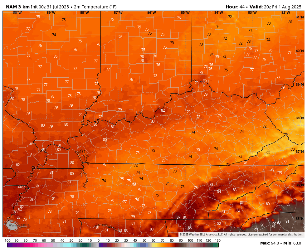
Friday’s highs reach the upper 70s and low 80s across the state on a day where the normal high is 85-90. Some clouds linger across the southeast and that may keep temps even cooler. Temps by Saturday morning hit the upper 50s in some areas.
This temperature animation from the Hi Res NAM goes from Friday afternoon through Saturday morning…
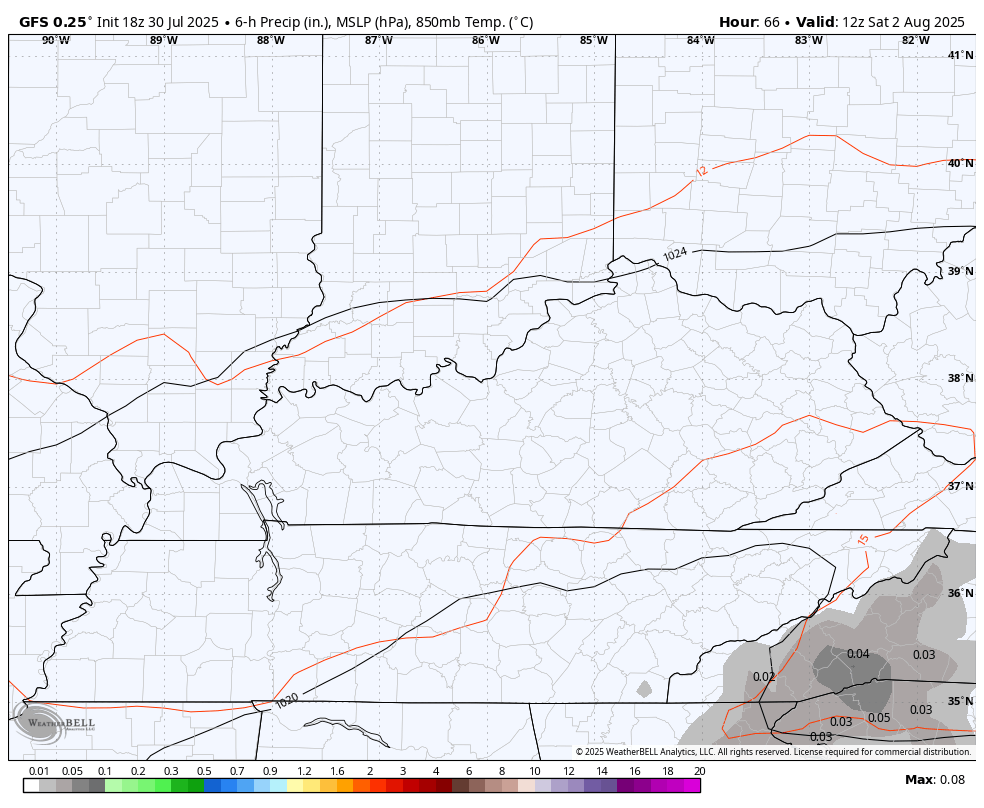
There’s a bit of a moisture plume impacting southeastern Kentucky and this slowly edges back toward the west Saturday and Sunday. The end result is a few showers and thunderstorms…
Temps over the weekend are held in the low 80s for many.
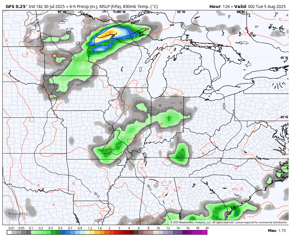
The setup for next week will feature an upper level low sliding in from the northwest. That brings more in the way of some showers and storms with it. This animation starts Monday evening and goes through Friday…
We are inching toward the heart of the Atlantic Hurricane Season, but things remain pretty quiet from the National Hurricane Center…

On the flip side, the Pacific is pretty darn busy…

While the Atlantic is quiet right now, some of the medium range models are trying to develop something near Florida or the eastern Gulf. The GFS is picking up on this way out there in “just looking at trends” time…
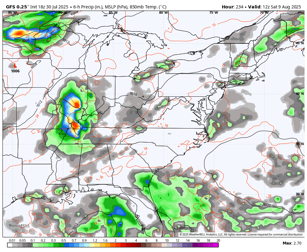
You also notice the GFS showing another upper system sweeping in from the northwest around that same time.
Fall and winter talk as we get into early August, so get excited!! 🙂
I leave you with your storm tracking tools for the day…


Current watches

Possible Watch Areas

Make it a wonderful Wednesday and take care.

Thanks, Chris, I am excited for Fall weather!!
Are there data to show hot steamy summer indicates a harsh winter?
Keep up the good work!!
Thanks Chris. Our Fall and Winter weather will be determined by what phase ENSO we are in. At the present, we are in the ENSO – neutral phase. The weather could go in a positive or negative direction. A weak La Nina ( negative ) or El Nino ( positive ) could come into play. It’s going to be interesting to see what changes are in – store for the coming Fall and Winter 2025 – 26.
I would bet on a weak to moderate La Nina, based on how sea surface temperatures in the equatorial eastern and central Pacific have been trending. But it won’t be typical because of that large area of warmer than normal temps in the northern Pacific. If it persists, it will strengthen the ridge currently in place from eastern Siberia to mid-Alaska, pushing the polar jet stream farther north. That jet will then dip south over northern Canada and pull colder air into the central and eastern US.
https://www.ospo.noaa.gov/products/ocean/sst/anomaly/
Joe, I’ve been watching the SST off West Cost for a longtime, and noticed that warmer waters are moving in. Maybe this is the change to positive ( El Nino ) which would gives an active storm track to our south. More chances for Snowstorms this Winter. I hope.
Here’s an interesting climate site that I just found :
https://climateimpactcompany.com/2025/07/
90s in September will happen. Book it. 🙂
NOAA’S long range forecast for ( Aug. Sept. Oct. ) 2025 :
https://www.cpc.ncep.noaa.gov/products/predictions/long_range/seasonal.php?lead=1
Not bad at all